
Scan the QR code and open PeakVisor on your phone
Dolpa is home to 49 named mountains. The highest is Dhaulagiri II at 7,751 m.
There are 49 named mountains in Dolpa. The highest and the most prominent mountain is Dhaulagiri II.
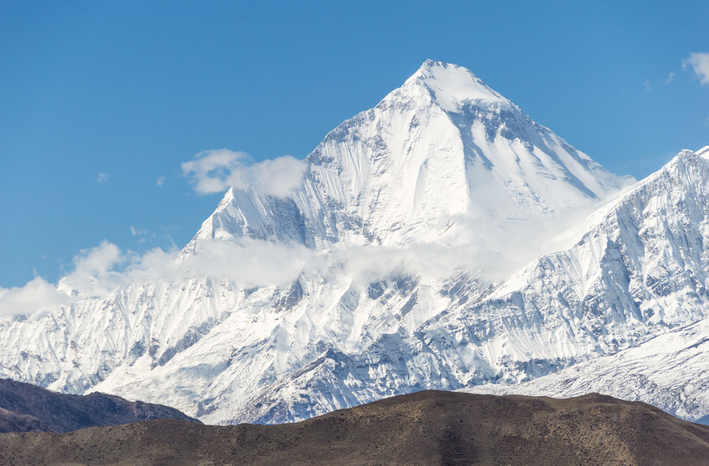
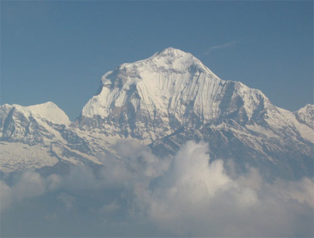
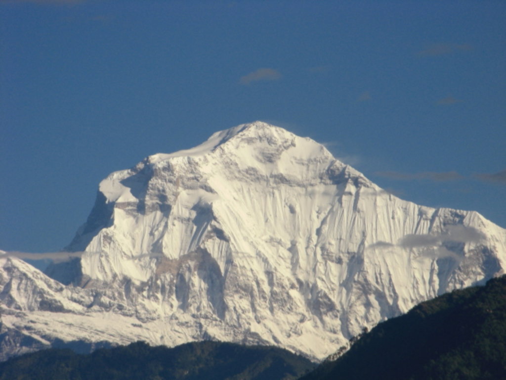
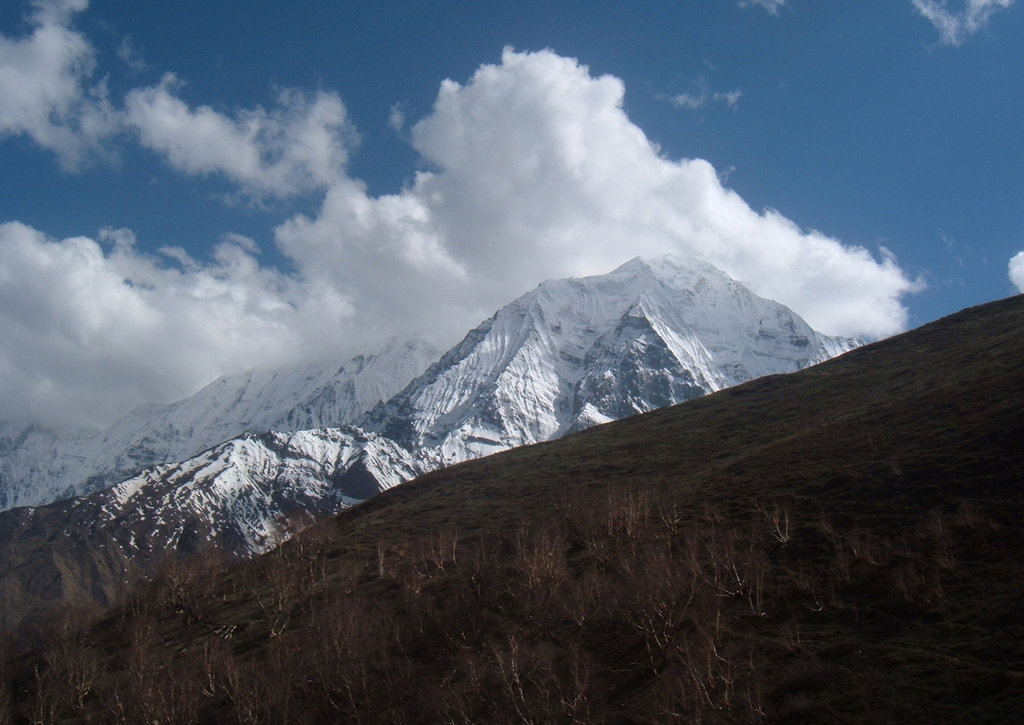
Yes. Dolpa has 49 named mountains. The highest is Dhaulagiri II at 7,751 m.
The highest mountain in Dolpa is Dhaulagiri II, at 7,751 m.
Dolpa has 49 named mountains.


