Get PeakVisor App
Sign In
Search by GPS coordinates
- Latitude
- ° ' ''
- Longitude
- ° ' ''
- Units of Length

Yes
Cancel
❤ Wishlist ×
Choose
Delete
The Amathole District Municipality is in the Eastern Cape Province of South Africa. It is noted for its diverse culture and unique natural beauty, with parts of the range featuring a rare temperate rainforest ecosystem. Locally, the area is known as the “Forest of the Fairies,” and it’s said to be an inspiration for Tolkien’s Lord of the Rings series, particularly the Mirkwood Forest. The municipality has 145 named mountains; the highest and most prominent is Groot Winterberg, measuring 2,371 meters (7,779 ft).
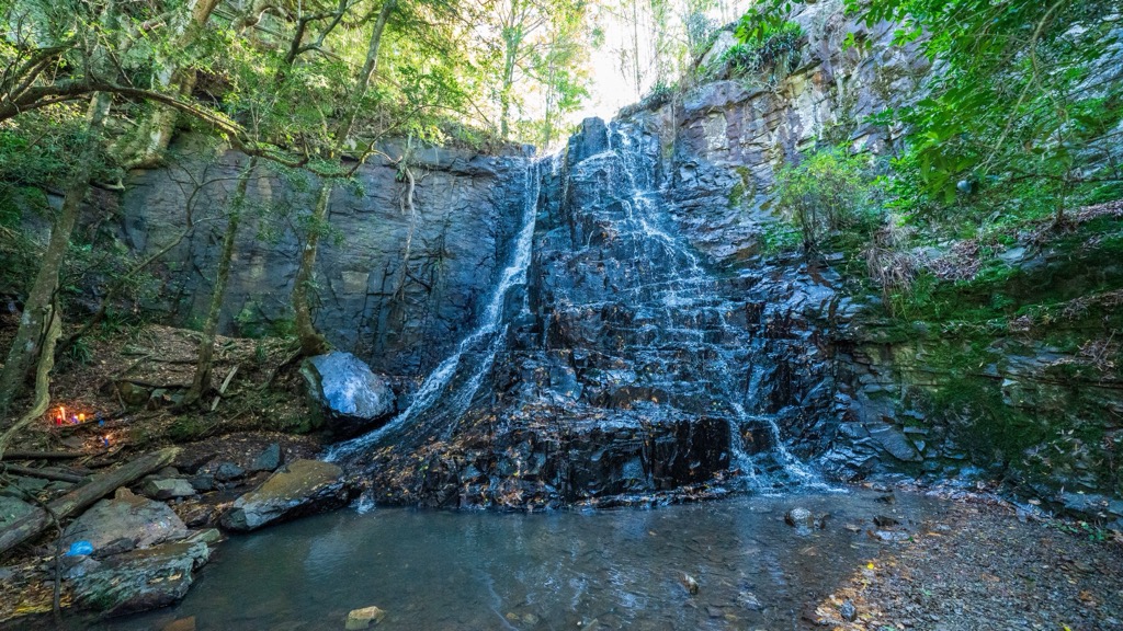
The Amathole District Municipality covers an area of approximately 2,159,500 ha (5,336,240 ac). To the south, the Indian Ocean threads along a coastline stretching over 200 km (124 mi). The district's name, Amathole, which means calves in Xhosa, refers to the Amathole Mountain Range that spans the inner region.
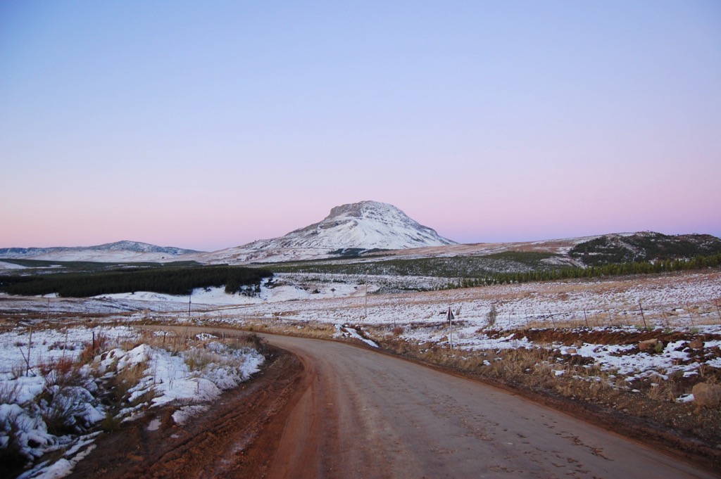
Key geographical features of the Amathole Municipality District include the Amathole Mountain Range, which is part of the southern Drakensberg range and includes peaks such as Gaika’s Kop and The Hogsback, exceeding 1,900 meters (6,234 ft) in elevation. The district features major rivers like the Great Kei, Keiskamma, and Gqunube, essential for agriculture and community water resources. Dams, including the Gubu, are crucial for irrigation and water supply. The southern boundary features the Indian Ocean coastline with beaches and estuaries, with coastal towns like Hamburg, Chintsa, and Kei Mouth.
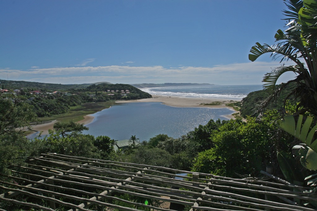
The district contains various biomes, including coastal forests, grasslands, and Afromontane forests in the Amathole Mountains, supporting diverse flora and fauna. Protected areas and nature reserves include the Amathole Forests and the Great Fish River Nature Reserve.
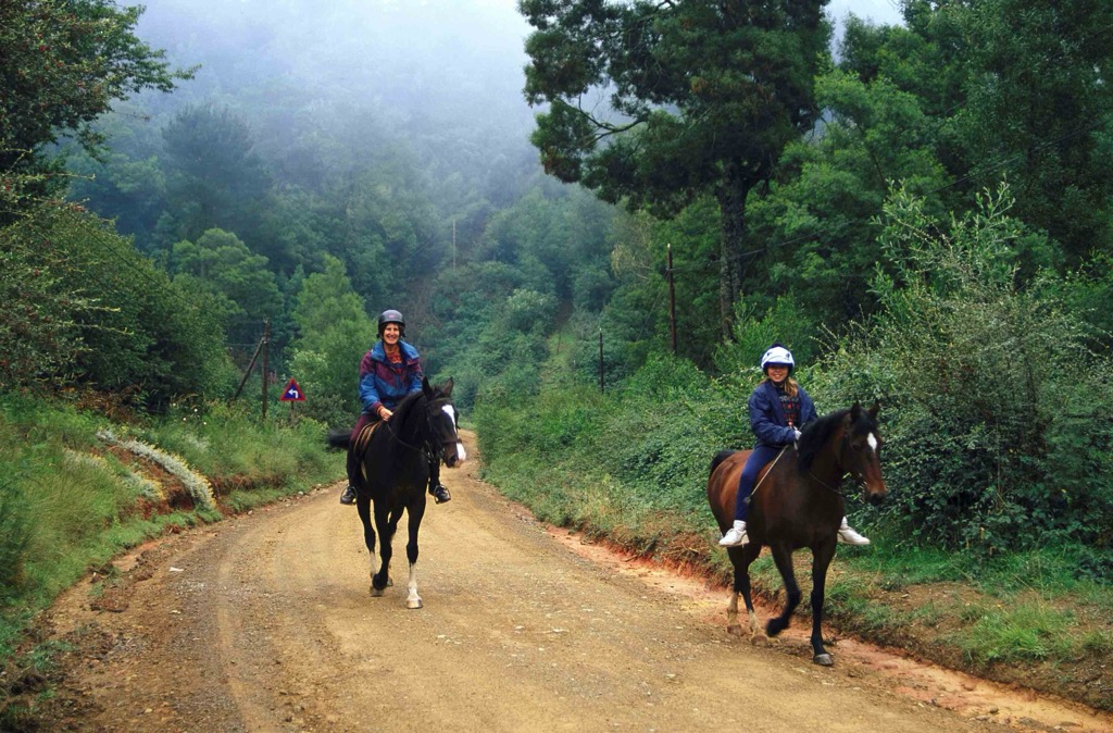
The climate varies significantly within the district due to its varied topography. Coastal areas have a mild maritime climate with warm summers averaging 26°C (79°F) and mild winters of 20°C (68°F), influenced by the ocean. Inland and mountainous regions have a temperate climate with cooler temperatures, especially at higher elevations, and receive higher rainfall, particularly in summer, supporting lush vegetation and agricultural activities.
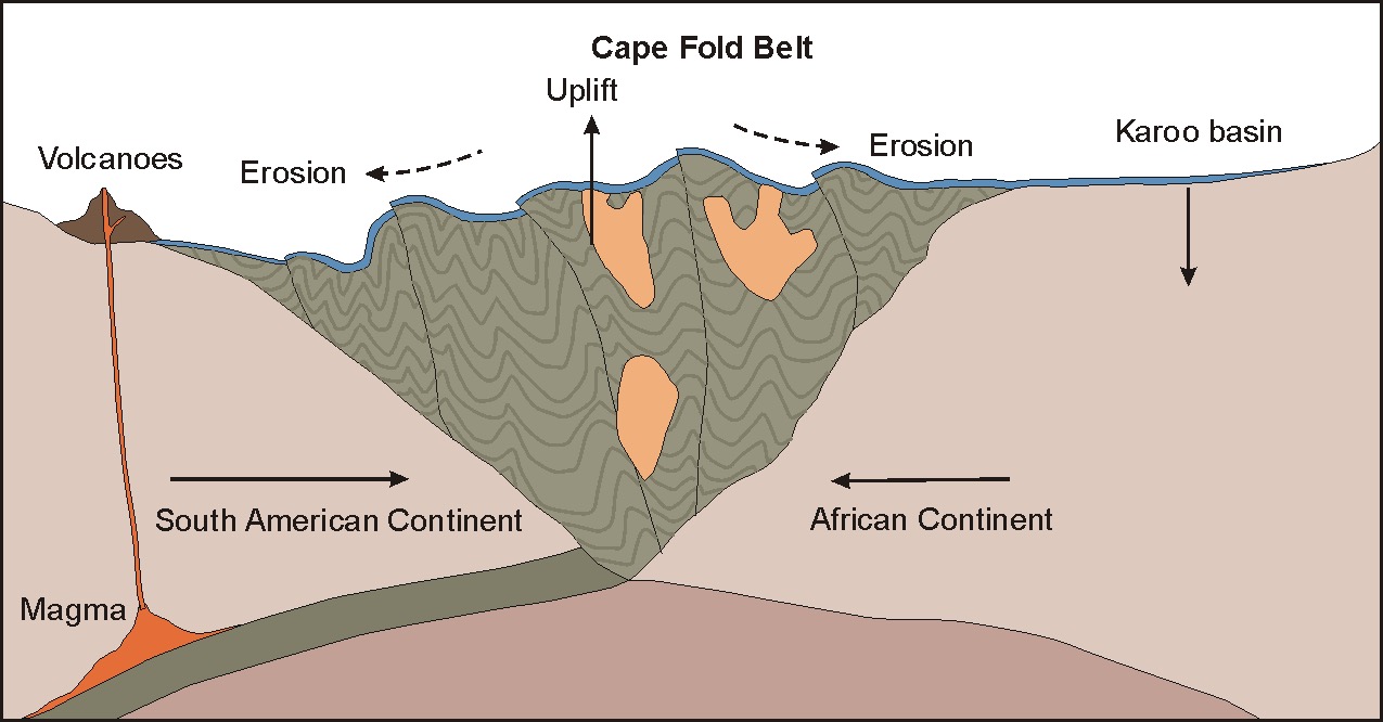
The Amathole District is within the Cape Fold Belt, a prominent geological feature characterized by a series of east-west trending mountain ranges and valleys. This belt is the result of tectonic compression and folding that occurred during the Paleozoic era, particularly in the late Carboniferous to early Permian periods.
The district's most prominent feature is the Amathole Mountains, which are part of the larger Cape Fold Belt and are primarily composed of hard quartzitic sandstones from the Table Mountain Group. These sandstones, deposited in a shallow marine environment, are hard and resistant, contributing to the formation of prominent mountain ranges like the Amathole Mountains.
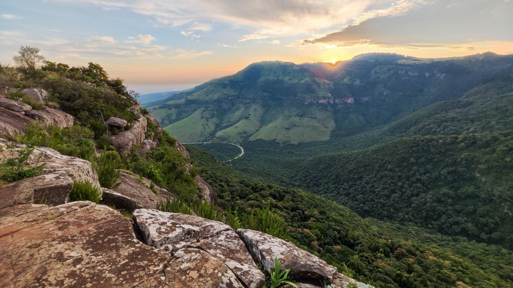
The natural vegetation of Amathole District Municipality is diverse, corresponding to the varied topography and climate. The coastal regions are characterized by coastal forests, dune vegetation, and mangroves, with indigenous forests found in protected areas along the coast. The Amathole Mountains are covered with indigenous Afro-montane forests, grasslands, and patches of fynbos, while the inland areas feature a mix of grasslands and savanna.
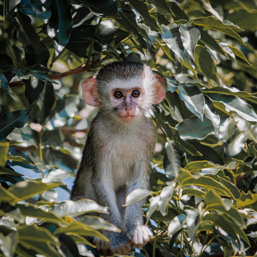
The diversity in topography and vegetation supports a wide range of habitat for fauna. The district is home to several mammal species, including various antelope species, vervet monkeys, baboons, and smaller mammals. Conservation areas such as the Amathole Nature Reserve protect larger species like the Cape buffalo and eland. Bird diversity is high, with both endemic and migratory species. The forests and wetlands provide habitats for species such as the Knysna Turaco, Cape Parrot, and various waterfowl.
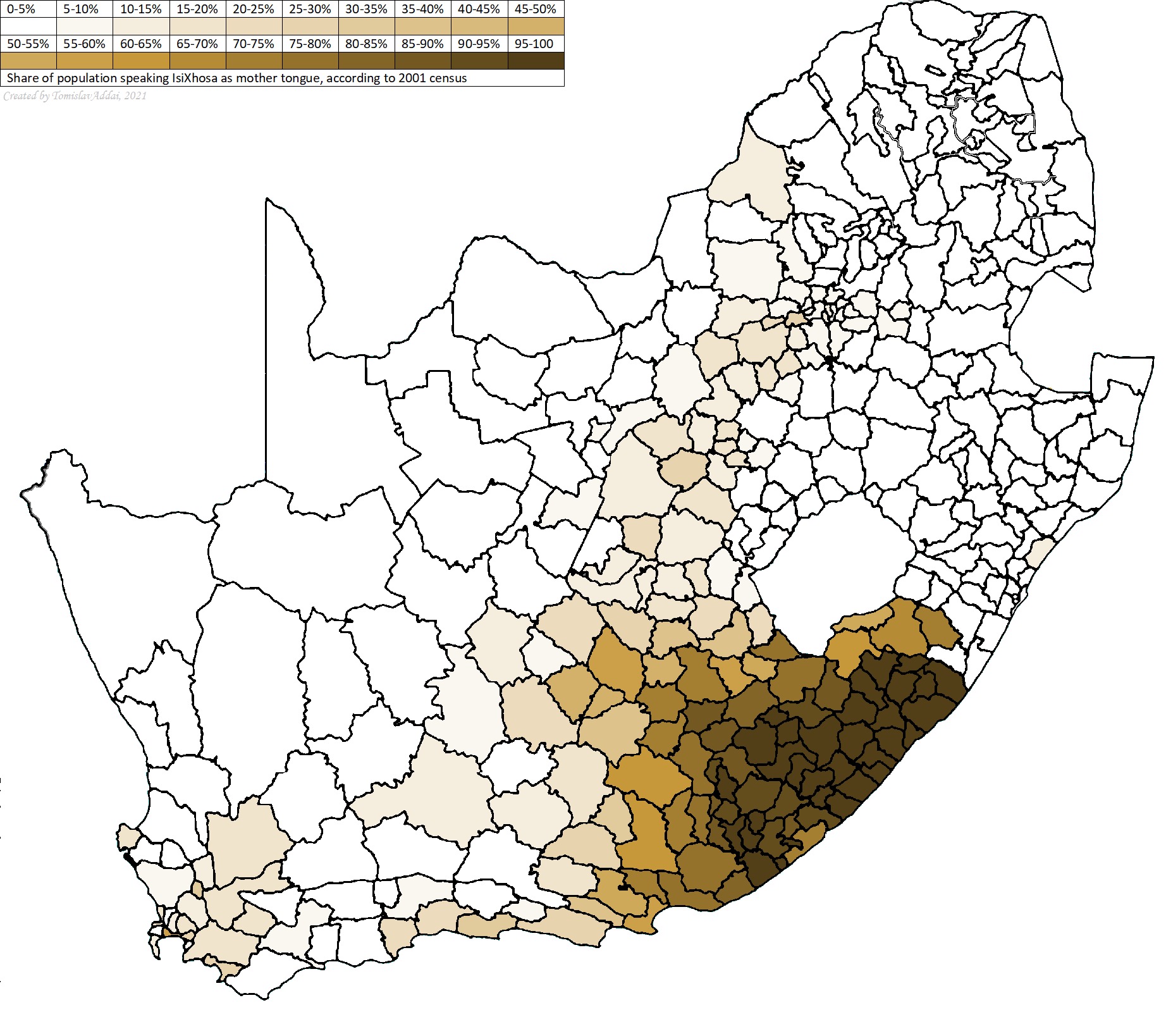
Before European settlers arrived, the Amathole District Municipality was inhabited by the Khoisan peoples, including the San and Khoikhoi. Later, Bantu-speaking groups, such as the Xhosa, migrated into the region, introducing iron-working, agriculture, and cattle herding.
The arrival of Dutch settlers in the 17th century and British colonization in the early 19th century led to significant changes, including the Frontier Wars, or Xhosa Wars, between the Xhosa and colonial forces. Notable conflicts like the Battle of Grahamstown in 1819 and the War of the Axe (1846-1847) caused the displacement of many Xhosa people and social upheaval.
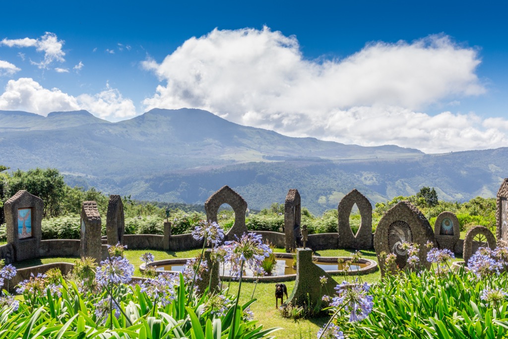
In the 20th century, apartheid policies led to forced removals and the creation of homelands, including the Ciskei for Xhosa people in 1981, which encompassed parts of the Amathole District. This period saw resistance from the African National Congress and other liberation movements.
With the end of apartheid in 1994, South Africa transitioned to a democratic government, and the Amathole District became part of the newly established Eastern Cape Province.
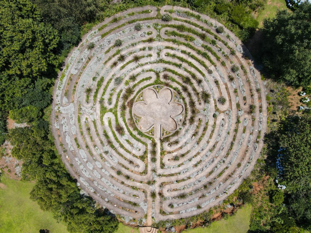
The Amathole Hiking Trail is a 100 km (62 mi) route, considered one of South Africa’s most arduous hikes. The trail starts in the village of Maden Dam, near King William’s Town, weaving through the lush, rugged landscapes of the Amathole Mountains, and ends in Hogsback, renowned for its scenic beauty and mystical atmosphere. The Amathole Hiking Trail typically takes six days to complete, with hikers covering a distance of 15 to 20 km (9 to 12 mi) per day.
The trail meanders through thick indigenous forests, home to ancient yellowwood trees, towering ferns, and a rich diversity of plant species. Hikers encounter several waterfalls, including the spectacular Madonna and Child Falls and the Kettlespout Falls. The trail offers views from high-elevation points from Cata and The Hogsback, showcasing the vast expanse of the Amathole Mountains and the surrounding valleys.
Hikers sleep in designated mountain huts instead of tents. If you’re planning on undertaking this hike, you must book in advance to reserve a spot in the huts. Huts include showers but not food, so you’ll still need to carry a fairly hefty pack with cooking gear and food for the six days. For more information, check out this detailed blog post on the trail.
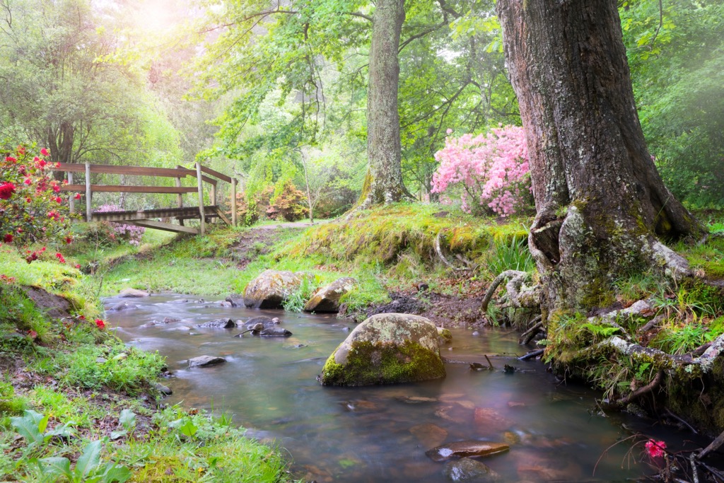
The Wild Coast Hiking Trail is an 89 km (55 mi) coastal route in the Eastern Cape. This 5-day journey begins at the Wild Coast Casino in Port Edward and ends in Coffee Bay. Hikers experience stunning views of the Indian Ocean, dramatic cliffs, and long, secluded beaches stretching for miles. The trail features waterfalls, rolling hills, and verdant valleys. Highlights include cultural encounters with Xhosa communities, challenging terrain, wildlife sightings, and historical sites.
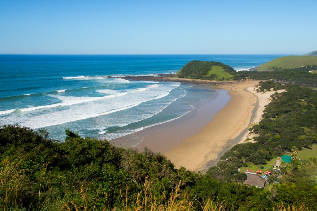
Gaika’s Kop Hiking Trail offers a challenging adventure. The trail leads to Gaika’s Kop, an isolated dolerite outcrop at 1963 meters (6,440 ft), one of the highest peaks in the Amatola range. Named after the Xhosa chief Gaika, who led his nation in the late 1700s, the hike to the summit and back covers around 5 km (3 mi) and takes about 4 hours. Though technically demanding, the trail rewards hikers with stunning views of The Hogsback, Hogsback Mountain, Elandsberg, and expansive broad valleys.
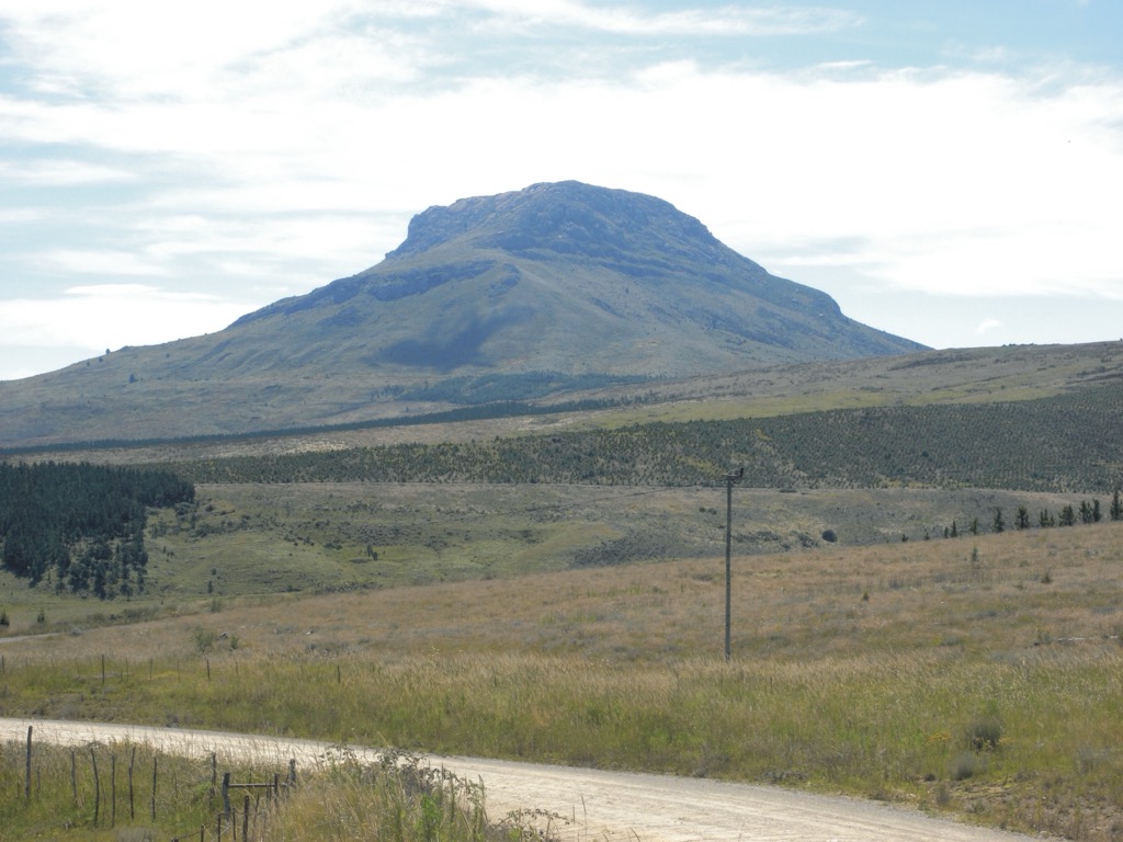
The Kologha Forest Trails, situated at the eastern end of the Amatola Mountains near Stutterheim in the Eastern Cape, are part of one of South Africa's most extensive indigenous forests. The forest features diverse flora and fauna, including ancient yellowwood trees, ferns, and numerous bird species. The trails vary from 3 km to 17 km (2 to 11 mi), accommodating different fitness levels. Key features include waterfalls, clear streams, and historical sites with remnants of early settlements and artifacts.
The Amahlati District, part of the Amathole District Municipality, includes towns like Stutterheim, Cathcart, and Keiskammahoek, as well as various smaller villages and settlements. This district hosts several nature reserves, such as the Hogsback and Keiskamma Nature Reserves, where visitors can observe indigenous flora and fauna.
Visitors can hike the Amathole Mountains in Hogsback and Katberg or explore local Xhosa culture by visiting traditional villages and interacting with locals. Historical landmarks like Fort Michell, Cathcart Cemetery, and the Keiskammahoek War Memorial offer guided tours of the district's history. Gubu Dam and Wriggleswade Dam also provide excellent fishing opportunities and places to relax in nature.
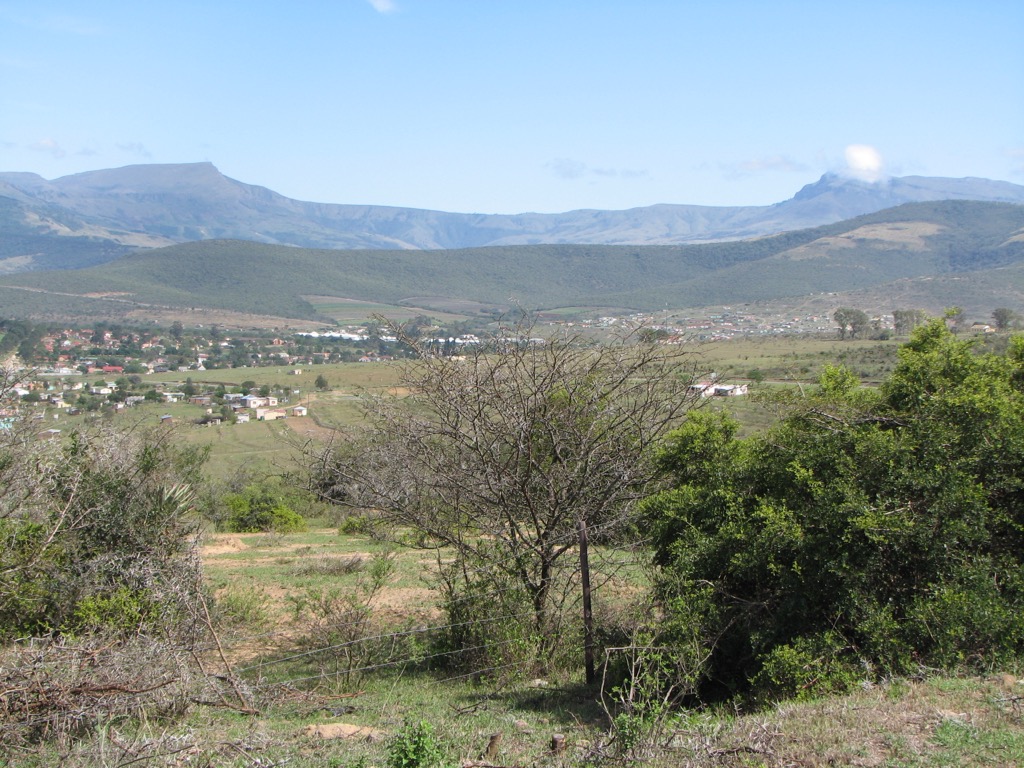
The Great Kei Local Municipality is an administrative area in the Amathole District of the Eastern Cape. Named after the Great Kei River, which has Khoi origins meaning sand, this region features natural beauty and historical significance. Kei Mouth, where the Great Kei River meets the Indian Ocean, offers pristine beaches for sunbathing and relaxation.
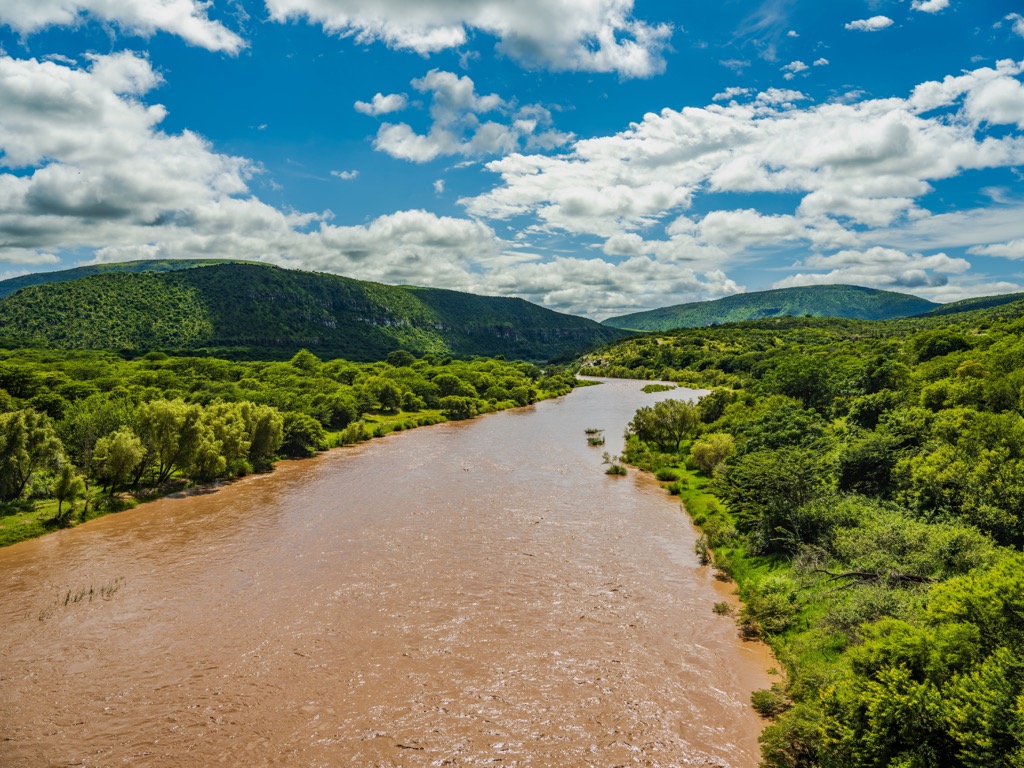
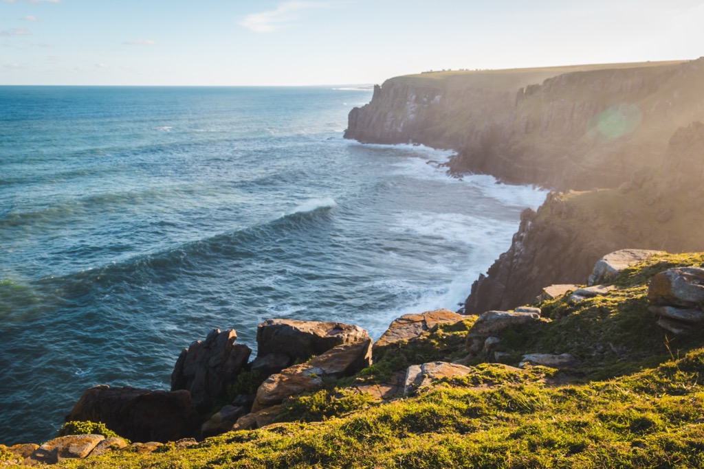
Visitors can explore diverse landscapes, engage with the local community, and enjoy activities such as birdwatching, hiking, and fishing. The Morgans Bay Cliffs also provide scenic ocean views, while the beaches of Chinsta, Haga Haga, and Morgans Bay offer endless surf and sand.
Explore Amathole District Municipality with the PeakVisor 3D Map and identify its summits.


