Fly before you hike
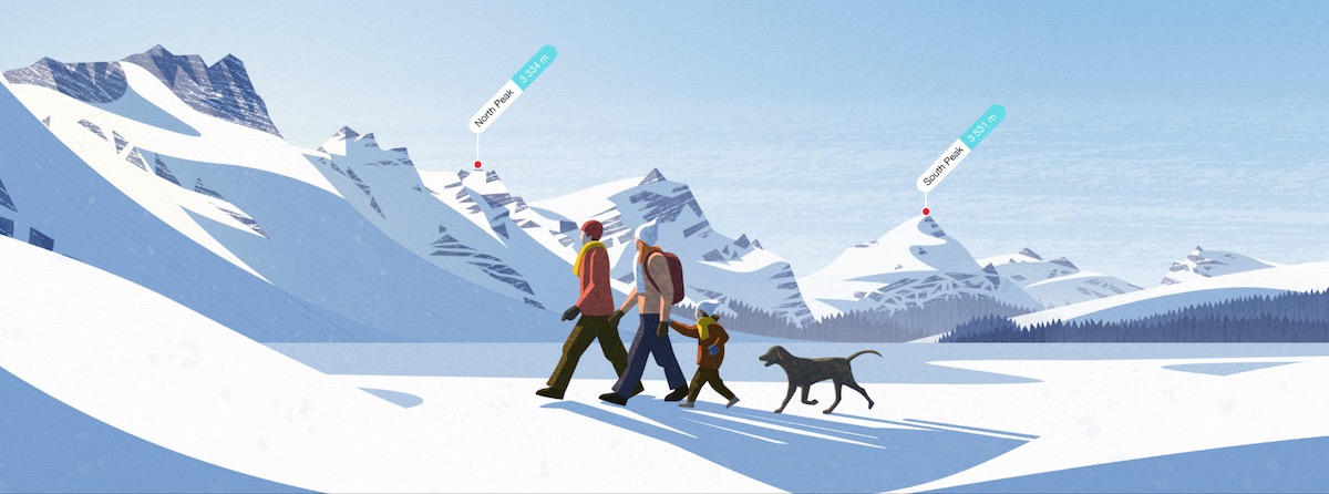
An image is worth a thousand words. With video being basically hundreds and thousands of images, this makes up the whole story unfolding before you in most vivid colours. Fly-over videos are a great way to visualize a hiking trail be it planned or already completed. It also helps to better understand the topography of a region. Recently, we have added an option to render fly-over videos in the PeakVisor app and can’t wait for you to try it. Create your own videos for your favorite hikes and peaks, it works blazingly fast online and offline.
There are two types of fly-over videos supported at the moment:
- Circular flying around an object on the map, e.g. a mountain summit
- Fly-through a route, e.g. a tracked hike, an imported GPX file, programmed route in the PeakVisor app
In order to create such a video, check out the tiny airplane button in the details popover at the bottom of the screen.
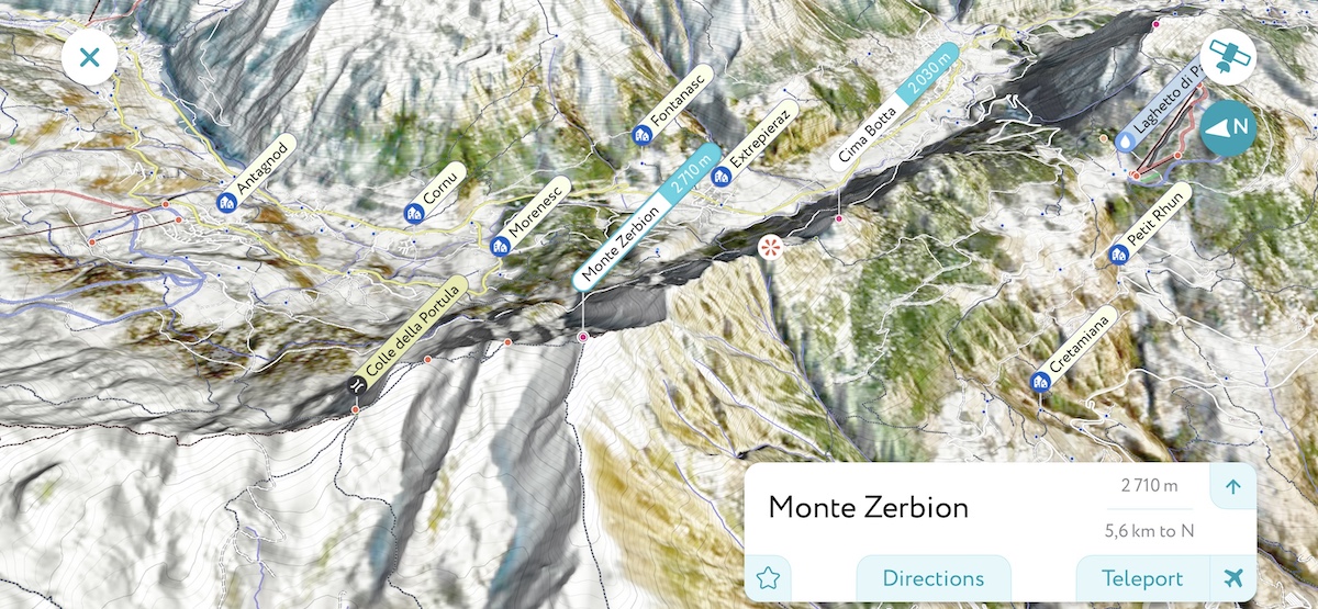
Tap on the airplane button to start the fly-over. The app will automatically fly to a convenient starting location and it will plan for the best way to visualize the chosen itinerary. It took us a while to figure out all the edge cases. In the end, flying in the mountains is not for the faint-hearted!
PeakVisor records the video on the go, so whenever the animation stops you just need to decide if you wish to save the result.
We suggest you first try making these videos for the mountains near you, so you get an idea of how it works.
The only important thing to consider when making fly-over videos is that the app uses the currently loaded terrain model to render them. If you’d like to make a video for a distant object, just teleport there and the app will load a detailed terrain model for that area.
If you like this feature or would like to have it improved, feel free to voice your suggestions, we always appreciate your feedback.
Now you are all set and ready to fly before you hike!