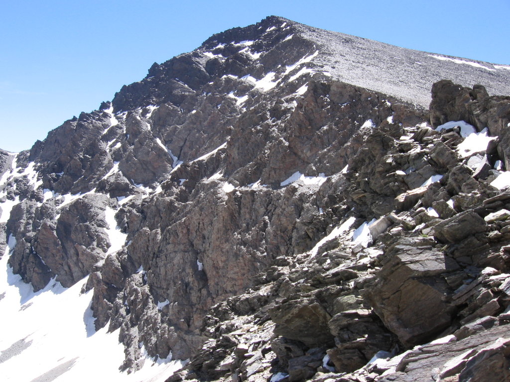
Mulhacén (Spanish pronunciation: [mulaˈθen]) is the highest mountain in continental Spain and in the Iberian Peninsula. It is part of the Sierra Nevada range in the Cordillera Penibética. It is named after Abu l-Hasan Ali, or Muley Hacén as he is known in Spanish, the penultimate Muslim King of Granada in the 15th century who, according to legend, was buried on the summit of the mountain.
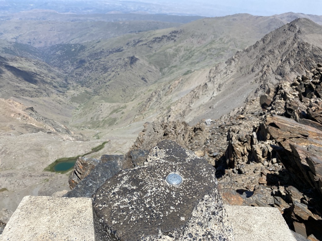
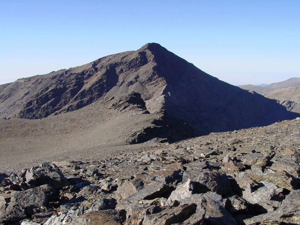
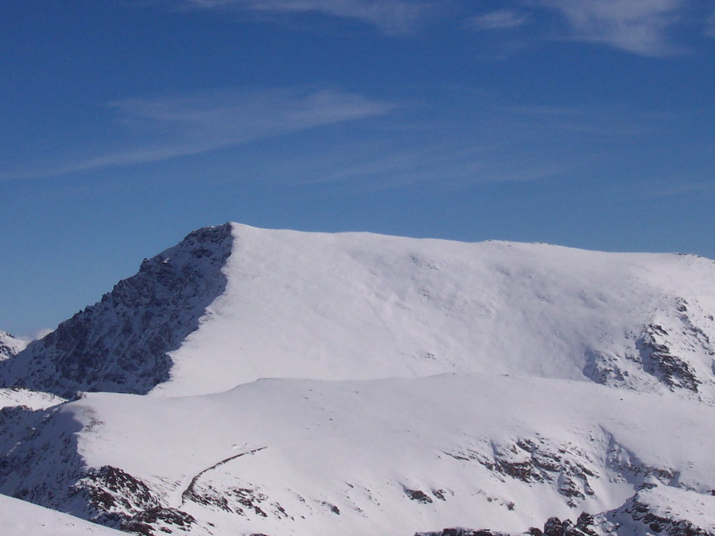
Mulhacén is the highest peak in Europe outside the Caucasus Mountains and the Alps. It is also the third most topographically prominent peak in Western Europe, after Mont Blanc and Mount Etna, and is ranked 64th in the world by prominence. The peak is not exceptionally dramatic in terms of steepness or local relief. The south flank of the mountain is gentle and presents no technical challenge, as is the case for the long west ridge. The shorter, somewhat steeper north east ridge is slightly more technical. The north face of the mountain, however, is much steeper, and offers several routes involving moderately steep climbing on snow and ice (up to French grade AD) in the winter.
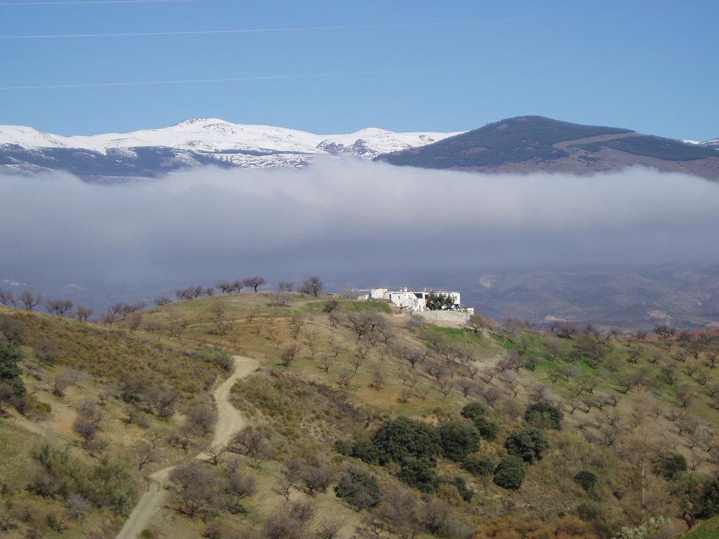
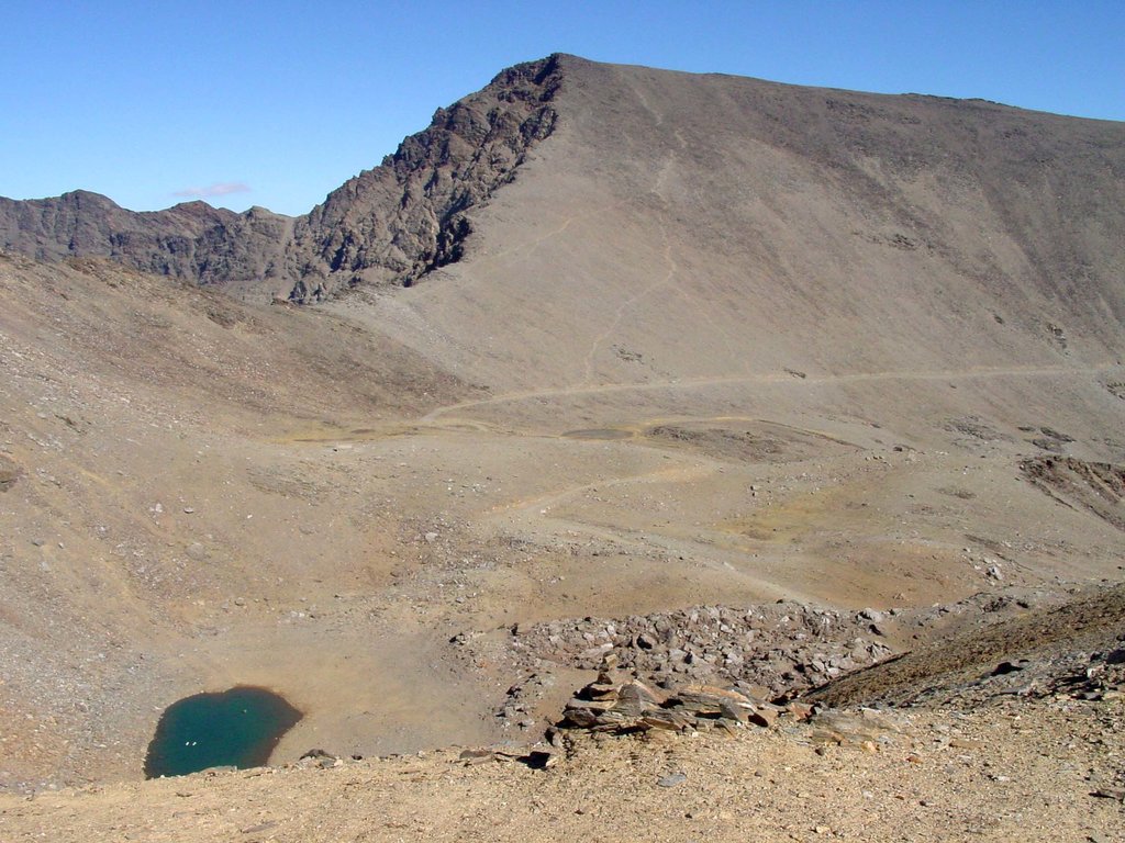
Mulhacén can be climbed in a single day from the villages of either Capileira or Trevélez, but it is more common to spend a night at the mountain refuge at Poqueira, or in the bare shelter at Caldera to the west. Those making the ascent from Trevelez can also bivouac at the tarns to the northeast of the peak.
There's an alpine trail (T4) leading to the summit. Pico de Mulhacén is one of the 17 peaks along the Integral de Sierra Nevada.
The nearest mountain hut is Refugio Vivac de la Caldera located 1 307m/4 289ft W of the summit.
By elevation Pico de Mulhacén is
# 2 out of 81984 in Spain # 1 out of 2436 in Granada # 1 out of 12452 in Andalusia # 1 out of 197 in Parque Nacional de Sierra Nevada # 1 out of 16499 in the Andalucian Ranges
By prominence Pico de Mulhacén is
# 2 out of 81984 in Spain # 1 out of 2436 in Granada # 1 out of 12452 in Andalusia # 1 out of 197 in Parque Nacional de Sierra Nevada # 1 out of 16499 in the Andalucian Ranges
We use GPS information embedded into the photo when it is available.
3D mountains overlay
Adjust mountain panorama to perfectly match your photos because recorded by camera photo position might be imprecise.
Move tool
Rotate tool
Zoom
More customization
Choose which peak labels should make into the final photo and what photo title should be.
Next
Photo Location
Satellitte
Flat map
Relief map
Latitude
Longitude
Altitude
OR
Latitude
°'''
Longitude
°'''
Apply
Register Peak
Peak Name
Latitude
Longitude
Altitude
Register
Teleport
PeakVisor
This 3D model of Sagarmatha National Park in Nepal was made using the PeakVisor app topographic data. The mobile app features higher precision models worldwide, more topographic details, and works offline. Download PeakVisor maps today.
Download OBJ model
PeakVisor
The download should start shortly. If you find it useful please consider supporting the PeakVisor app.
PeakVisor for iOS and Android
Be a superhero of outdoor navigation with state-of-the-art 3D maps and mountain identification in the palm of your hand!