Scan the QR code and open PeakVisor on your phone
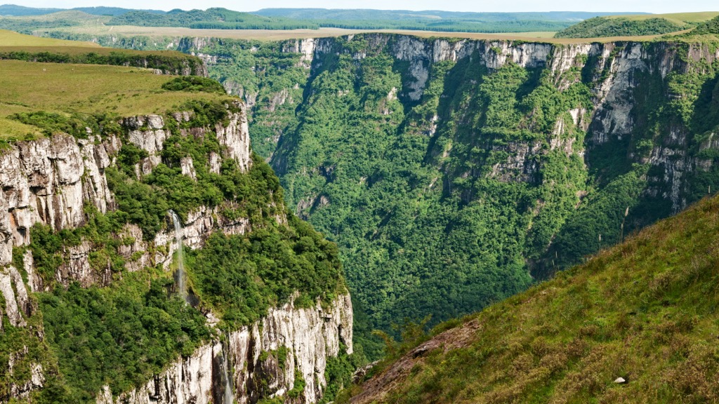
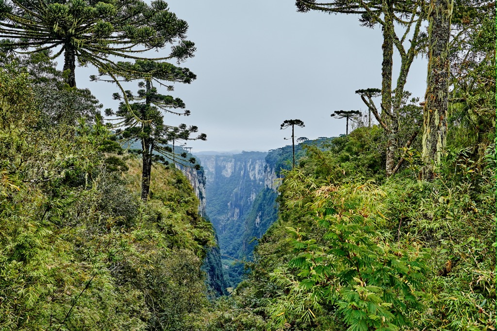
The Serra Geral is a vast mountain range in southeastern Brazil that serves as a dividing barrier between the Serra do Mar coastal forests ecoregion and the interior plateau of Brazil, which is home to the subtropical Araucaria moist forests itself. The main feature of the mountain range, besides its general relation to the Atlantic Forest biome, are two enormous canyons located in two main parks on its territory: Serra Geral National Park (Fortaleza Canyon) and Aparados da Serra National Park (Itaimbezinho canyon), created around them for their protection in the 1950s. There are 66 named mountains in the Serra Geral. Cume ds Canyons da Coxilha (1,353 m / 4,439 ft) is the highest point. The most prominent mountain is Morro Cantagalo (863 m / 2,831 ft).