The Hai'an Range include 190 named peaks. The highest is Malaoloushan at 1,684 m. Other notable peaks include Chengguangaoshan, Baishoulianshan and Xingangshan.
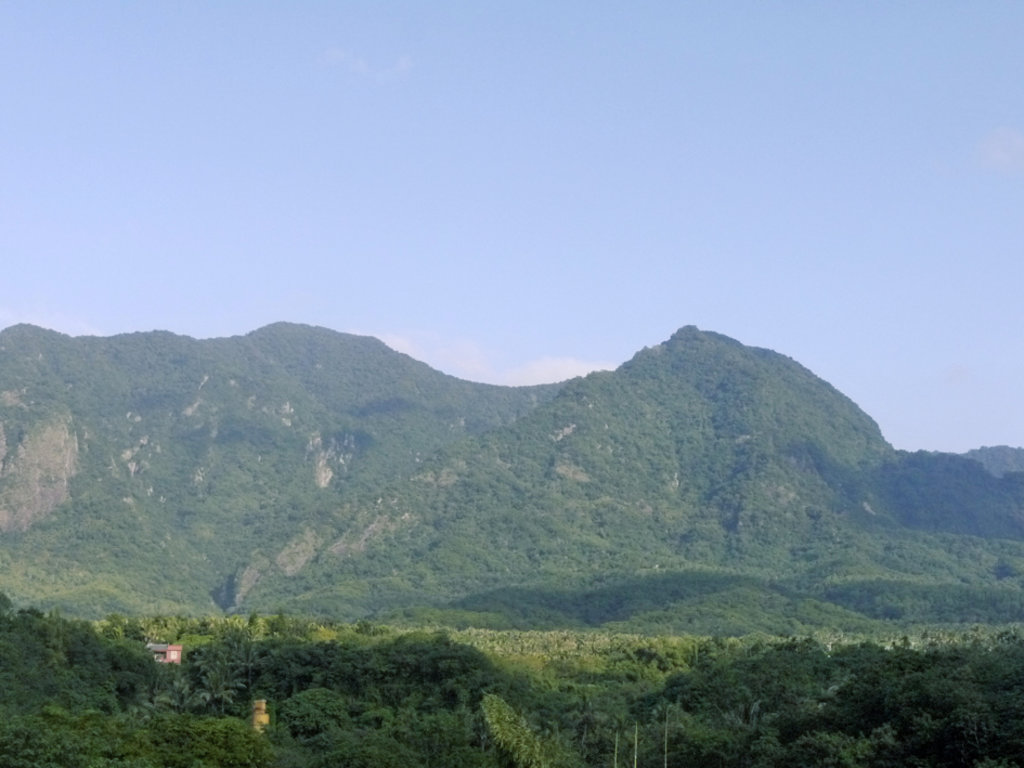
The Hai’An Mountain Range (海岸山脈, Hai’An meaning Coastal), is located along the Southeast coast of Taiwan between the counties of Hualien and Taitung, a length of only about 150 kilometers. It is the smallest of Taiwan’s five major mountain ranges, and its highest peak, Xingang Mountain (新港山) reaches only 1,680 meters. The mountain range is located along two convergent tectonic plates, and it is the location of the majority of Taiwan’s earthquakes.
Although the Hai’An Mountain Range is relatively small compared to Taiwan’s other ranges, nearly 20 of its 191 peaks exceed 1,000 meters.
The Hai’An Mountain Range is of special interest to geology enthusiasts because it is actually composed to land that drifted to Taiwan from the Philippines. Thus, the geology of the mountains differs greatly from the rest of the island and actually more closely resembles that of Taiwan’s outlying islands, such as Orchid Island and Green Island.
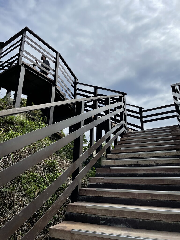
Due to the range’s relatively low elevation, Hai’An’s mountains are a good choice for recreational hikers who want to go farther off the beaten trail. The Hai’An range is not as popular a destination for tourists as many other mountain ranges in Taiwan, but the scenery and views on these mountains are unique in their own right. However, please note that as these mountains are not a common tourist destination, many of them lack trails leading to the top.
Hikers should be prepared to climb through complete wilderness without a trail to guide them.
Major Trails and Hiking Areas
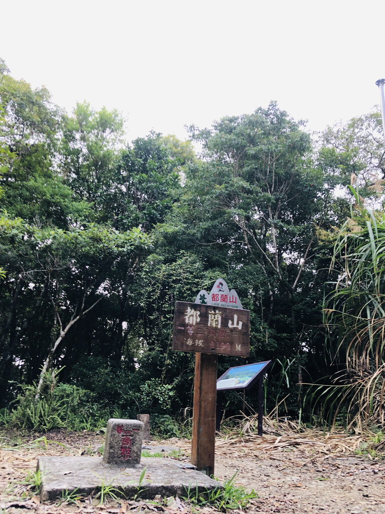
Dulan Mountain (1,190 meters): This trail is a great choice for those that want to get closer to nature. This mountain provides views of fairly untouched ecosystems, including forests filled with wild monkeys and butterflies. The trail is also well-known for its fairytale-like appearance, as it is often shrouded in dense fog.
Yuemei Mountain (614 meters): This mini-peak provides a narrow stone path to the peak and is a good choice for hiking families looking for a short daylong hike.
Baliwan Mountain (924 meters): This mountain is best known for being similar in appearance to Japan’s Mt. Fuji. Legend also states that Baliwan Mountain is the birthplace of the Atayal aboriginal peoples. It is the tallest peak in the northern section of the Hai’An Range.
Xingang Mountain (1,680 meters): The tallest mountain in the Hai’An Range, Xingang Mountain’s main trail is around 12 kilometers and takes hikers past Rainbow Waterfall as well as Taiyuan Basin (literally ‘birthplace of the Atayal’).
Wangdong Mountain (1,135 meters): Known for being one of the most climbable mountains in the Hai’An Range. From the top, hikers will have uninterrupted views of the ocean as well as of Xinshe Village.
Baishoulian Mountain: This third highest peak in the Hai’an Range is notorious for being a difficult climb. The first portion of the hike has hunting trails to follow, but after that hikers must make their way through nearly untouched wilderness.
Chengguang’ao Mountain (1,597 meters): The second-highest peak behind Xingang Mountain, Chengguang’ao is located farthest from most of the Hai’an Ranges major peaks. Thus, it is one of the least climbed Top 100 peaks in Taiwan. It is also considered one of the most challenging hikes in Taiwan, so it is suitable for those looking for a true off-road challenge.
Towns and Villages
Hualien City: This city is located in the greater Hualien County, one of the least densely populated counties in Taiwan. It is best known for its ocean views, proximity to mountain scenery, and good weather. Note that it is prone to both earthquakes and typhoons.
Taitung City: Located on the other end of the Hai’An Range, Taitung City is fairly sequestered from the rest of Taiwan. It acts as the connection between Taiwan and its outlying islands, Orchid Island and Green Island.
Chengkung Township: Also called “Madawdaw” in the aboriginal language, Chengkung Township is home to some of Taiwan’s best ocean fishing.
Fengbin Township: This small township is located in a long strip right on the Pacific Ocean and is home to a number of aboriginal groups, including Amei and Kebalan.
The highest peak in the Hai'an Range is Malaoloushan, at 1,684 m.
How many peaks are in the Hai'an Range?
The Hai'an Range have 190 named peaks.
Register Peak
Peak Name
Latitude
Longitude
Altitude
Register
Teleport
PeakVisor
This 3D model of Sagarmatha National Park in Nepal was made using the PeakVisor app topographic data. The mobile app features higher precision models worldwide, more topographic details, and works offline. Download PeakVisor maps today.
Download OBJ model
PeakVisor
The download should start shortly. If you find it useful please consider supporting the PeakVisor app.
PeakVisor for iOS and Android
Be a superhero of outdoor navigation with state-of-the-art 3D maps and mountain identification in the palm of your hand!