
Scan the QR code and open PeakVisor on your phone
Uluru-Kata Tjuta National Park has 4 named peaks. The highest is Mount Olga at 1,066 m. Other notable peaks include Kata Tjuta / Mount Olga, Uluru and Uluru / Ayers Rock.
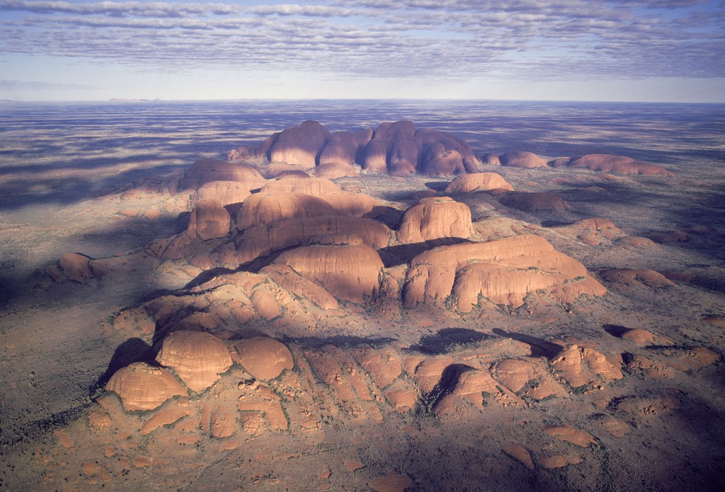
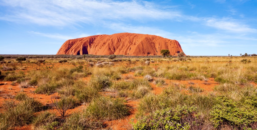
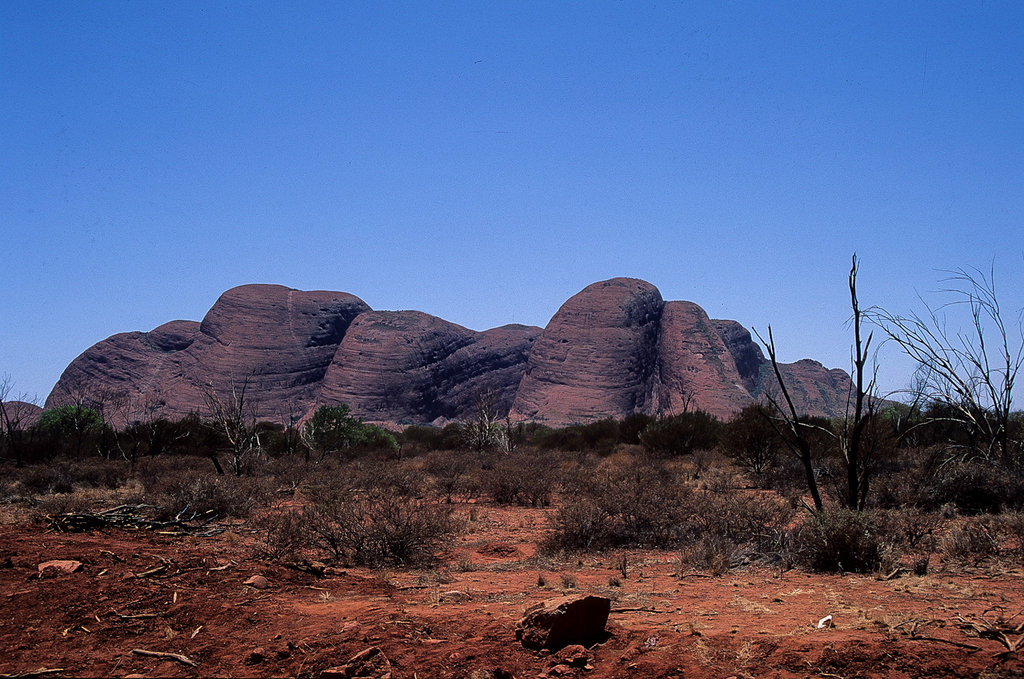
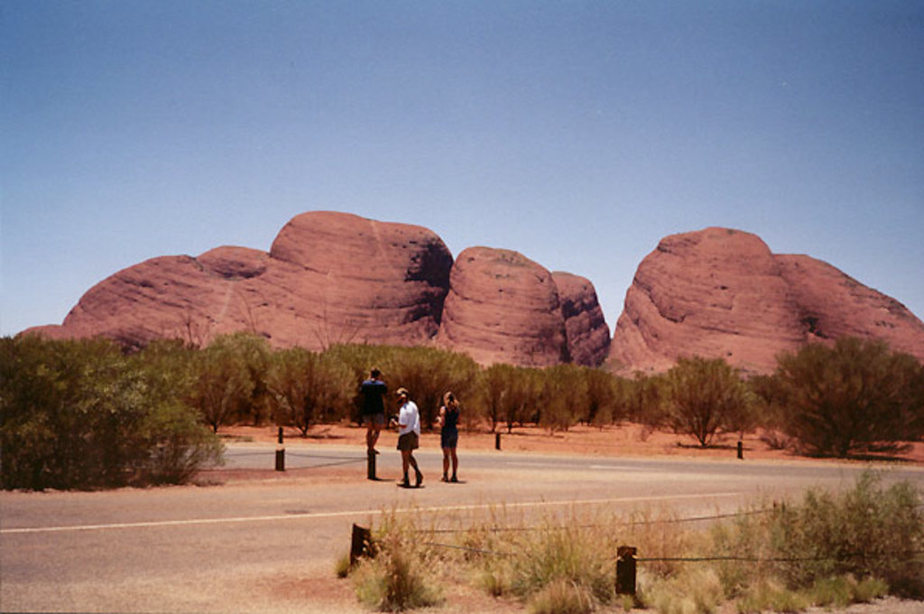
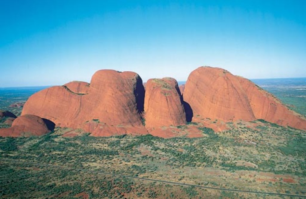
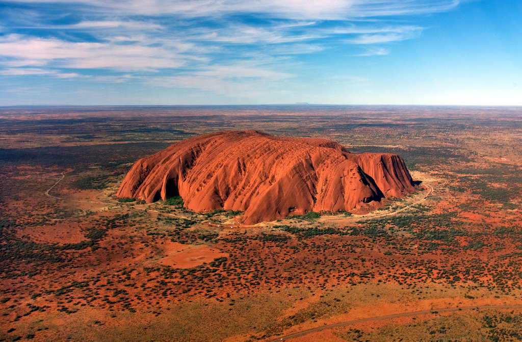
Uluru-Kata Tjuta National Park is one of Australia's 600+ national parks, which is located in the heart of the country. The park's main feature is Mount Uluru, also known as Ayers Rock (859 m / 2,818 ft), which stands alone in the middle of the Australian desert that takes up most of the country. For this reason, the mountain is considered sacred by the local Aboriginal population. Many fewer people know that in its neighborhood is a group of similar dome-shaped mountains called Kata Tjuta—hence, the second part of the name of the park. There are 4 named mountains in Uluru-Kata Tjuta National Park. The highest and the most prominent mountain is Kata Tjuta / Mount Olga (1,066 m / 3,497 ft), named by one of the first explorers of Australia after Queen Olga of Württemberg, daughter of the Russian Tsar Nicholas I.

.jpg)
The highest peak in Uluru-Kata Tjuta National Park is Mount Olga, at 1,066 m.
Notable peaks in Uluru-Kata Tjuta National Park include Mount Olga, Kata Tjuta / Mount Olga, Uluru and Uluru / Ayers Rock.


