
Scan the QR code and open PeakVisor on your phone
North York Moors National Park has 274 named peaks. The highest is Round Hill at 454 m. Other notable peaks include Incline Top, Stony Ridge and Loose Howe.
North York Moors National Park is renowned for its vast moorlands, ancient woodlands, and sublime North Sea coastline. The park covers 554 square miles in North Yorkshire and is the 5th largest of England's national parks.
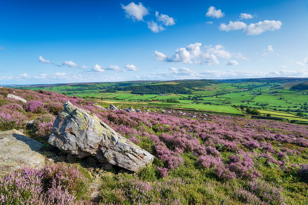
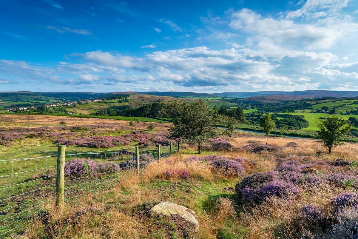
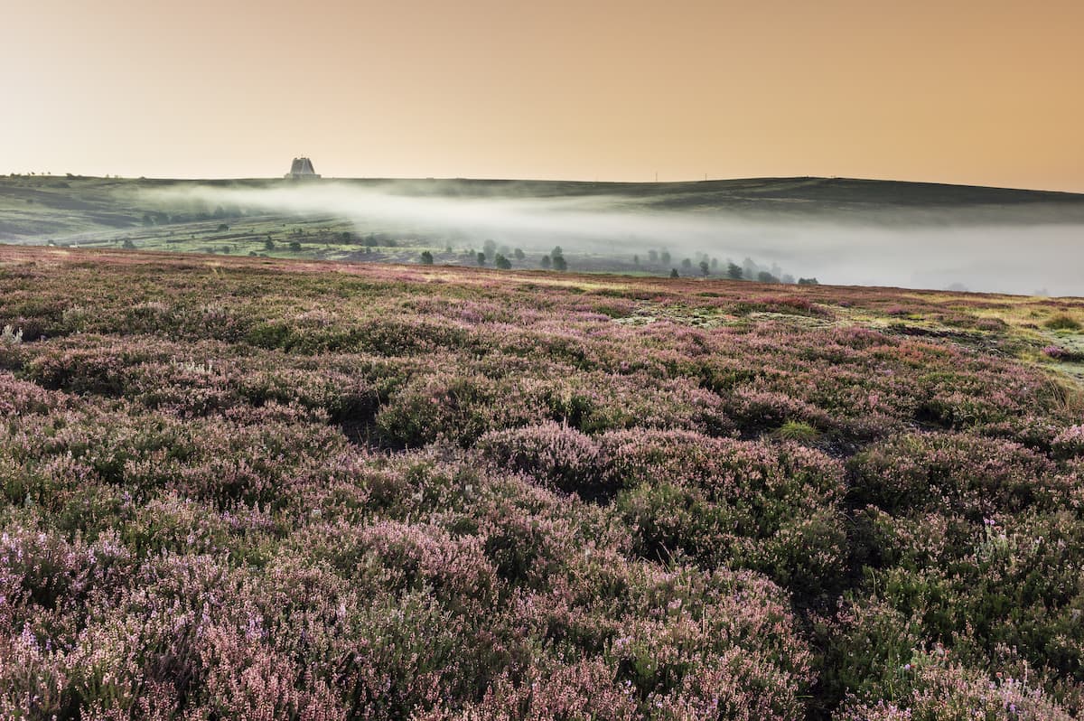
As the park's name suggests, North York Moors National Park consists mainly of heather moorlands. Roughly a third of the park is continuous moorlands and is one of the largest moorland landscapes in England and Wales. To the north of the moorland plateau are the Cleveland Hills, which dominate the park's skyline. This range of hills contains many of the highest points in the North York Moors National Park.
Round Hill (453 m), also known as Urra Moor, is the highest and most prominent hill in the park. With a prominence of 407 m, Round Hill is the 14th most prominent hill in England. Other notable summits in the Cleveland Hills include Cringle Moor (434 m) and Carlton Bank (404m). The geology of the park's landscape dates back over 140 million years ago to the Jurassic period. The rock formation of the moor consists mainly of sandstone, limestone, and ironstone.
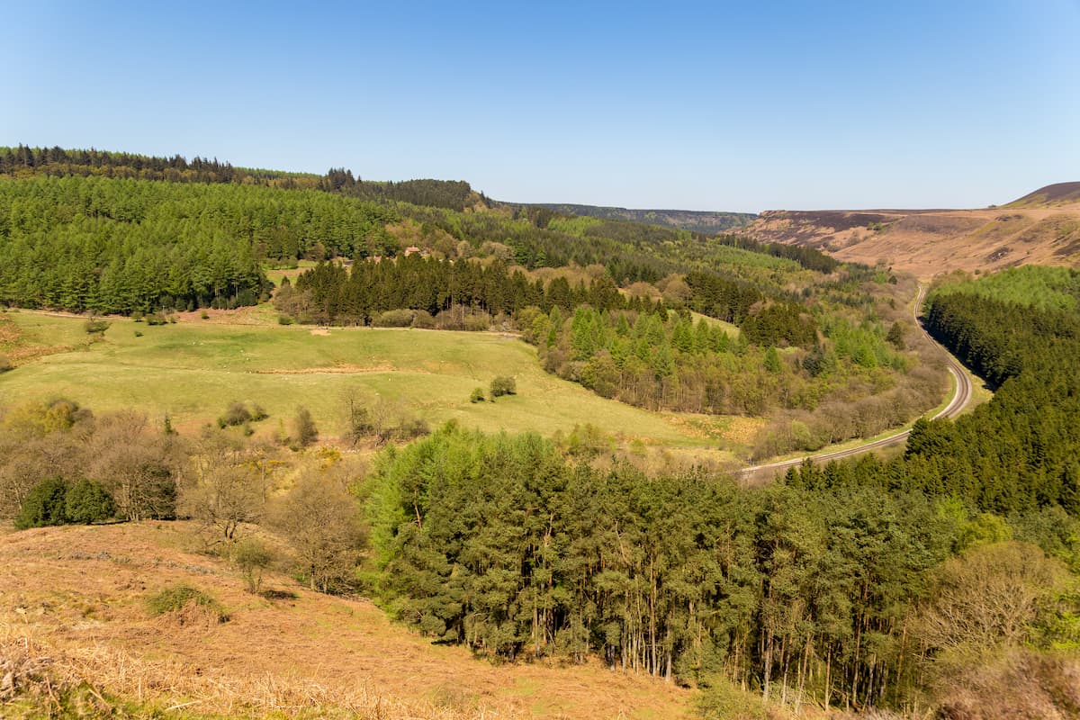
Surprisingly, North York Moors National Park also has an extensive woodland environment. Around 23% of the park consists of woodlands, the majority of which is to the southeast and southwest. At approximately 115 square miles, this is the largest concentration of ancient forests in northern England.
One of the most popular places to explore in North York Moors National Park is its rugged coastline. With stark cliffs, serene bays, and quaint seaside villages, walking along the coast is among the park's best activities. One notable spot is at Boulby near Staithes, where the cliffs are 656 feet high, making it the highest point on England's east coast.
Read on to find out about some of the best hiking areas and trails in North York Moors National Park.
The Cleveland Way is undoubtedly the most popular long-distance walk in North York Moors National Park. This National Trail meanders from Helmsley through the Cleveland Hills and along the sublime coast down past Scarborough. The whole trail is 109 miles and is generally completed over 9 days. If you're looking to stay strictly within the park, you can skip the final stages from Scarborough to Filey.
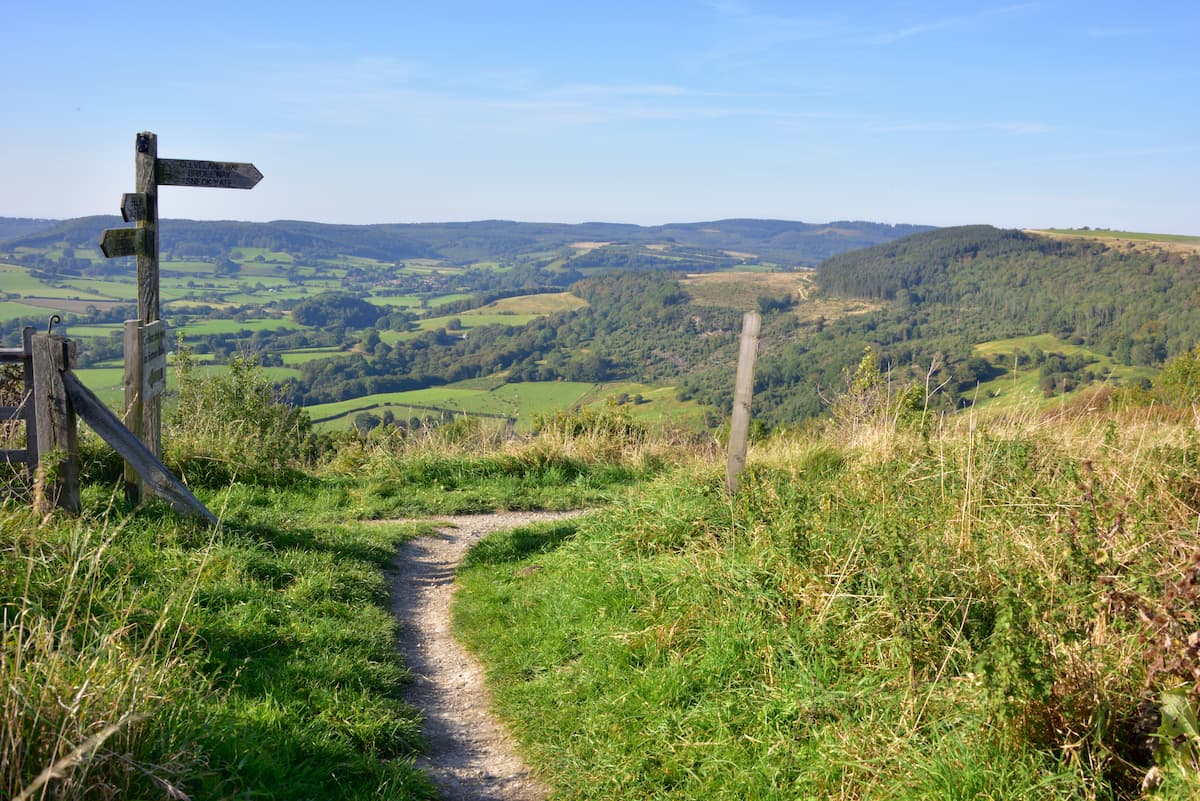
The entire Cleveland Way is well marked and manageable for most hikers. Regardless, it's worth mapping out a detailed route. The first stint of the journey is 10 miles from Helmsley to Sutton Bank. This moderately tricky section of the trail will lead you past some interesting sights, including the 800-year-old Rievaulx Abbey. From Sutton Bank, you'll get to enjoy stunning views of the Vale of York.
Walking from Sutton Bank to Osmotherley is 11.5 miles, with the trail passing over the Hambleton Hills. On the way to Osmotherly, stop to admireGormire Lake from atop Whitestone Cliff. The next stint from Osmotherley to Clay Bank is 11 miles and is strenuous. The trail passes over some of the highest points in the Cleveland Hills. You'll scale several hills, including Cringle Moor, Carlton Bank, Cold Moor (383 m), and Live Moor (315 m).
The 9-mile section from Clay Bank to Kildale includes climbing the park's highest summit, Round Hill. From atop Round Hill, you'll have sublime vistas of the surrounding Cleveland Hills, with Cringle Moor to the west, Crook Staff Hill (421 m) to the south, and Tidy Brown Hill (396 m) to the north.
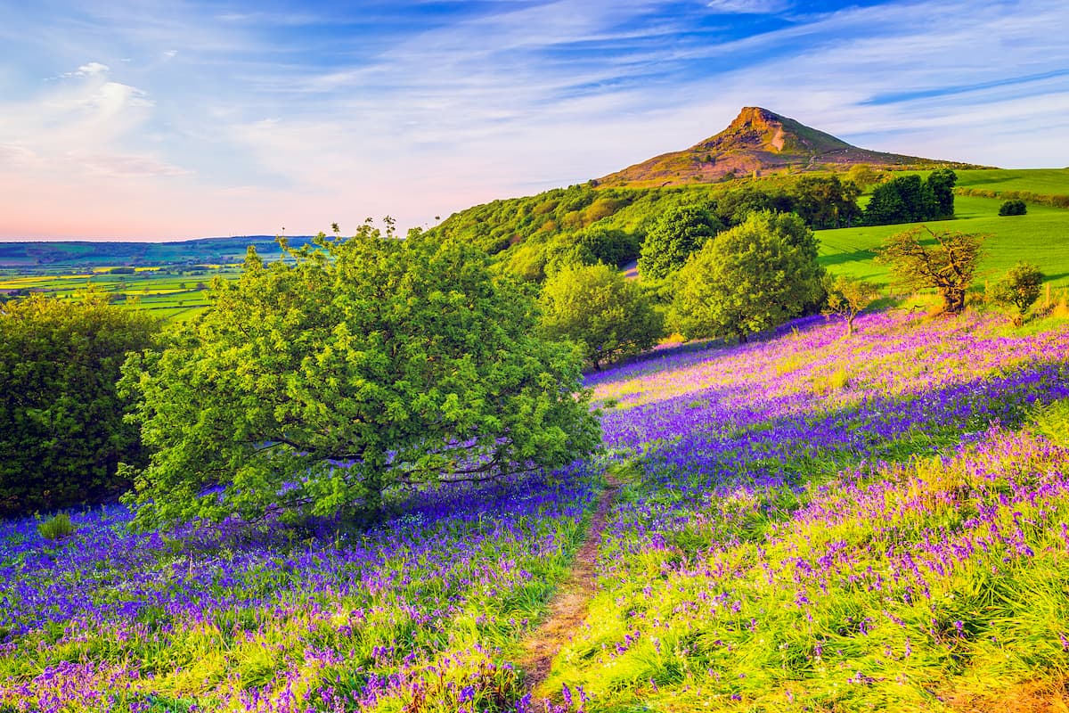
The next 15-mile hike from Kildale to Saltburn includes one of the best hills in the park, Roseberry Topping (308 m). Nicknamed "Yorkshire's Matterhorn," Roseberry Topping is isolated from the rest of the range and boasts breathtaking panoramas of the moors.
From Saltburn, you'll walk along the Yorkshire coastline 17 miles south to Sandsend. During your walk, you'll pass the Boulby Cliffs, the highest cliffs on England's eastern coastline. Another impressive sight is the Boulby Potash, one of the deepest mines in Europe.
After arriving at Sandsend, you can either finish up by walking to Robin Hood's Bay or continue down to Scarborough. The Cleveland Way technically finishes about 30 miles south of Sandsend in Filey, but if you'd prefer to stay in the park, somewhere scenic like Whitby is an excellent place to finish up.
Another popular long-distance walk in North York Moors National Park is the Lyke Wake Walk. This walk spans the park's breadth from Osmotherley on the western edge to Ravenscar on the eastern shores. The Lyke Wake Walk is around 40 miles and takes 3 or 4 days.
One of the most interesting facts about the Lyke Wake Walk is there's no official route. This allows adventurers to plan their own path across the park's beautiful moorlands. However, it's generally recognized that the hike starts from the car park just north of Osmotherley and ends at or near the Raven Hall Hotel.
Towards the route's start, hikers generally follow the Cleveland Way before heading along a disused railway from Bloworth Crossing until they reach the Lion Inn at Blakey Ridge. The Lion Inn is just under halfway through the Lyke Wake Walk. Continuing east past Fryup, you'll cross the ancient Wheeldale Roman Road before passing the scenic Fylingdales Moor.
Near the North York Railway, be mindful when planning your route, as some of the land belongs to the Ministry of Defence. The best route is to follow the path along the nearby stream before heading east past Lilla Cross. After Lilla Cross, you'll be able to spot your finishing point in Ravenscar and the North Sea on the horizon.
A favorite short trail among hikers in North York Moors National Park leads over Levisham Moor and past the Hole of Horcum. The route boasts intriguing archeological sites and gorgeous views of the surrounding landscape for the perfect North York Moors walk. This looped walking trail is 5 miles long and will take 2 to 3 hours to complete.
From Saltergate, you'll walk west and then southwest, following the trail across the Lewisham Moors. These heather-covered moors are one of the largest archeological sites in the park, with the remains of old settlements dating back to the Bronze Age scattered across the area.
Walking south to Dunsdale Pond, you'll turn left to reach Skelton Tower. This hilltop ruin provides sweeping views of the Goathland Moors and is perfect for a picnic. Turn left again at Far Black Rigg, keeping right of the Hocum Slack to reach the Hole of Horcum. This impressive 400-foot-deep valley has many legends attached to it, including stories involving squabbling giants and the devil. The end of the route is just past the Hole of Horcum with Saltergate about 500 meters to the north.
Fancy exploring some of North York Moors National Park's verdant woodlands? This ramble through Goathland and along the Roman Road is a moderately challenging hike, and the path can be steep and slippery in places, so bring suitable footwear. There are many twists and turns along this trail, so ensure you carefully map out a route to avoid getting lost. The looped trail is around 7.5 miles and will take roughly 4 hours to complete.
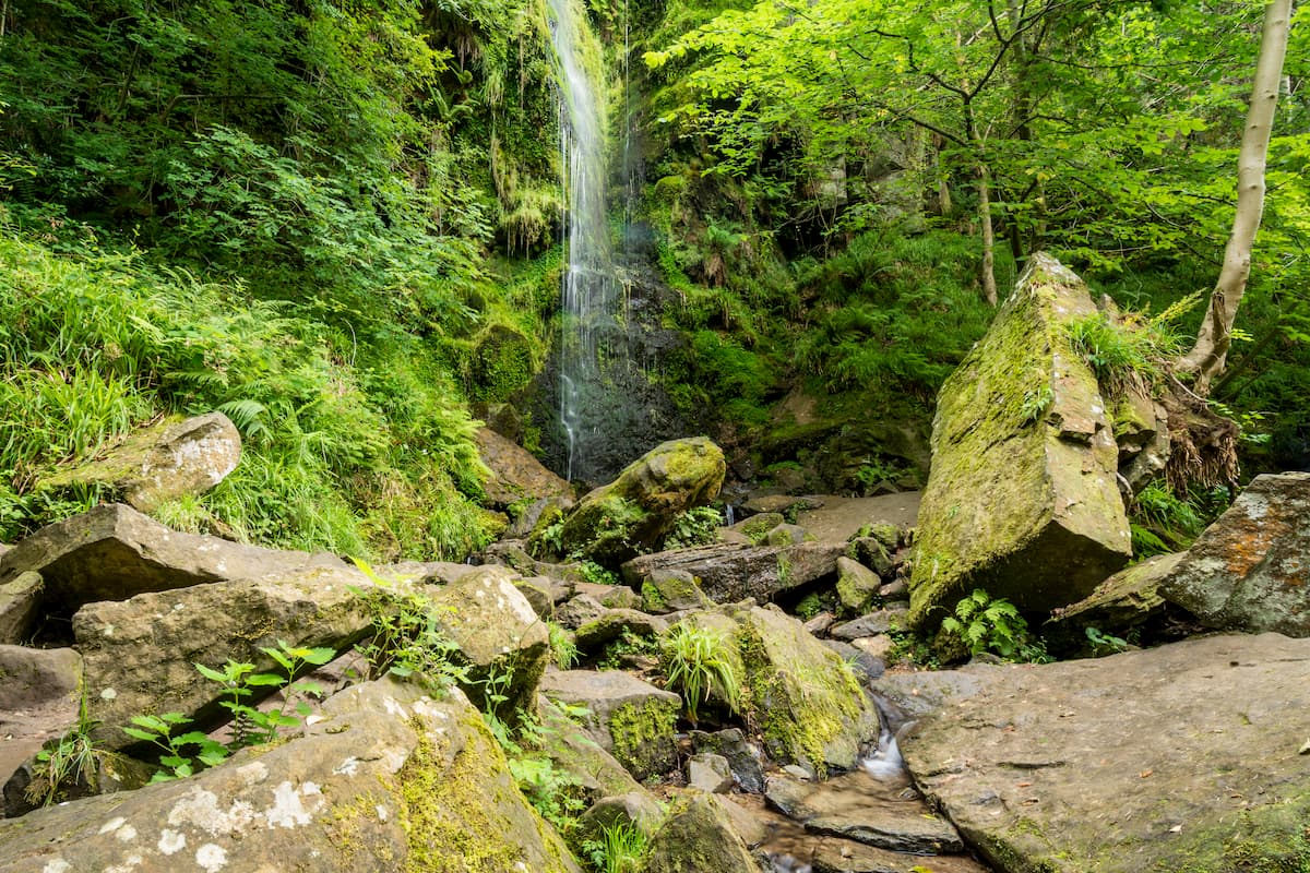
From the Goathland rail-trail along Beck Hole Road, head along the path before following the signpost for "The Mallyan." Under a mile down the trail, follow the sign for the Goathland, which will take you past one of the best sights on this hike, the Mallyan Spout waterfall. Next, you'll pass uphill to the top of the valley near Hazlehead Farm.
During your walk, watch out for the informational plaque signifying the Roman Road. This ancient road cuts across a hillside, and you'll also pass over a stile. At a rocky downhill path, turn left, crossing a stream on the way to Wheeldale Lodge.
Keep on the track towards Hunt House, and follow the sign to Goathland. Atop the ridge, you'll know you're going the right way when you pass a large cairn. Passing from cairn to cairn, you'll get close to a paved road, which will lead you back to your starting point.
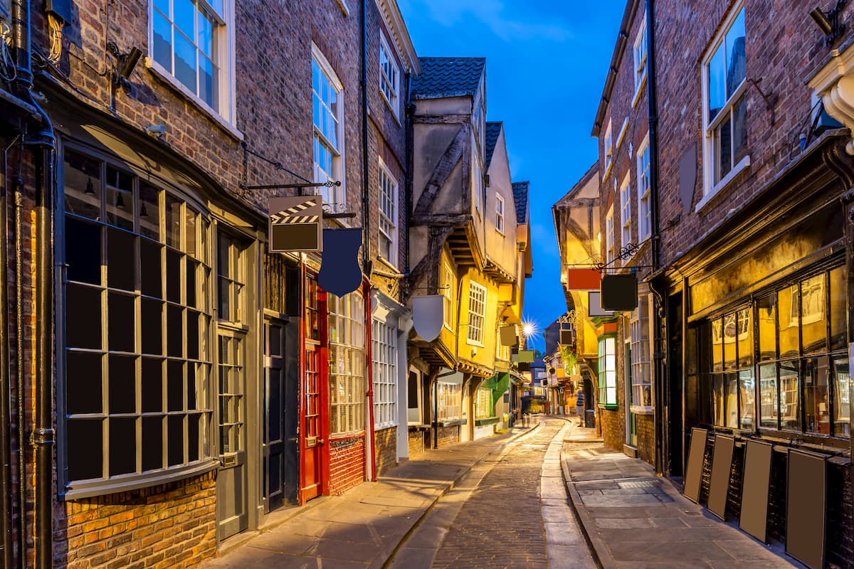
The ancient city of York is the perfect place to stay near North York Moors National Park if you're looking for a big city with small-town charm. York is located just 25 miles south of the North York National Park and is easily reached by driving up the A19. While in York, make sure you go for a ramble down The Shambles and take a tour of the sublime York Minster. You'll find dozens of hotels across York, such as the Dean Court Hotel, Jorvik House, and The Mount Royale Hotel.
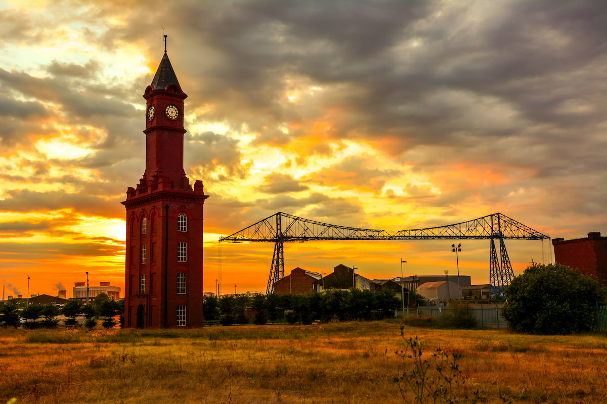
Middlesbrough is the largest settlement within close proximity of North York Moors National Park. This Teesside town is around 8 miles from the park boundary, making it an ideal base for exploring the Yorkshire countryside. As a reasonably large town, you'll find lots of attractions in Middlesbrough. Tour the Middlesbrough Institute of Modern Art, or pay a visit to the historic birthplace of Captain Cook. Hikers looking to stay in Middlesbrough will find several upscale and reasonably priced hotels, including Jury's Inn and Chadwick Guest House.
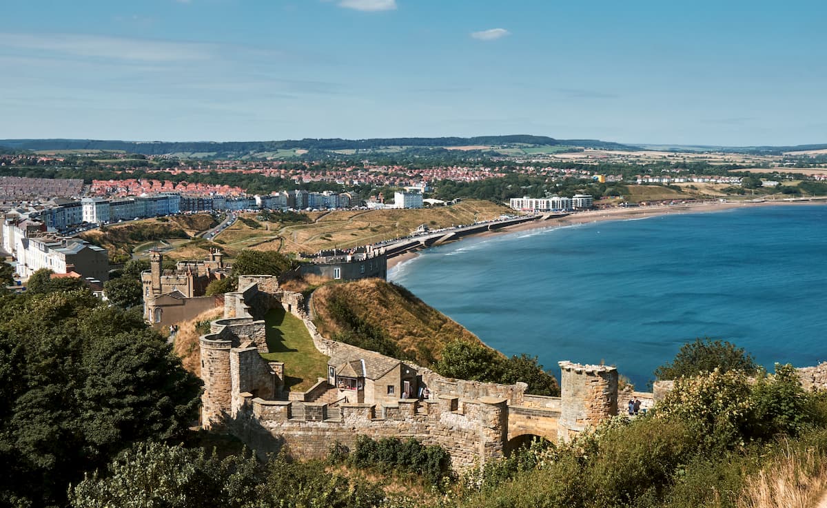
Situated on North York Moors National Park's southern side, Scarborough makes for an idyllic vacation destination. A seaside resort town, Scarborough boasts some excellent family-friendly attractions. Laze around on the white-sandy beach, discover the 12th-century Scarborough Castle ruins, and make a splash at the Alpamare waterpark. As a popular resort in its own right, Scarborough has an array of hotels. Some of the best options include The Cavendish, Harbourside Apartments, and The Almar.
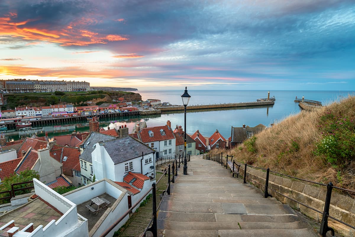
If you'd prefer to stay at a significant settlement within North York Moor National Park's boundaries, consider Whitby. Known internationally due to its association with Bram Stoker's Dracula, the seaside town of Whitby has several historical attractions which are worth discovering, including 7th-century Whitby Abbey and the Captain Cook Memorial Museum. Hikers will love walking along the nearby cliff tops and trekking up Whitby's famed 199 steps. Travelers planning a stay in Whitby should consider booking a room at The Horngarth or Mooredge B&B.
Another relatively large town worth visiting is Pickering. Perched on the park's southern edge, Pickering is a medieval market town and home to exciting attractions for all ages. From exploring the remains of Pickering Castle to hitching a ride of the North Yorkshire Moors Railway, there's some for everyone to enjoy in Pickering. Accommodation options in Pickering include High Dalby House and Pear Tree House B&B.
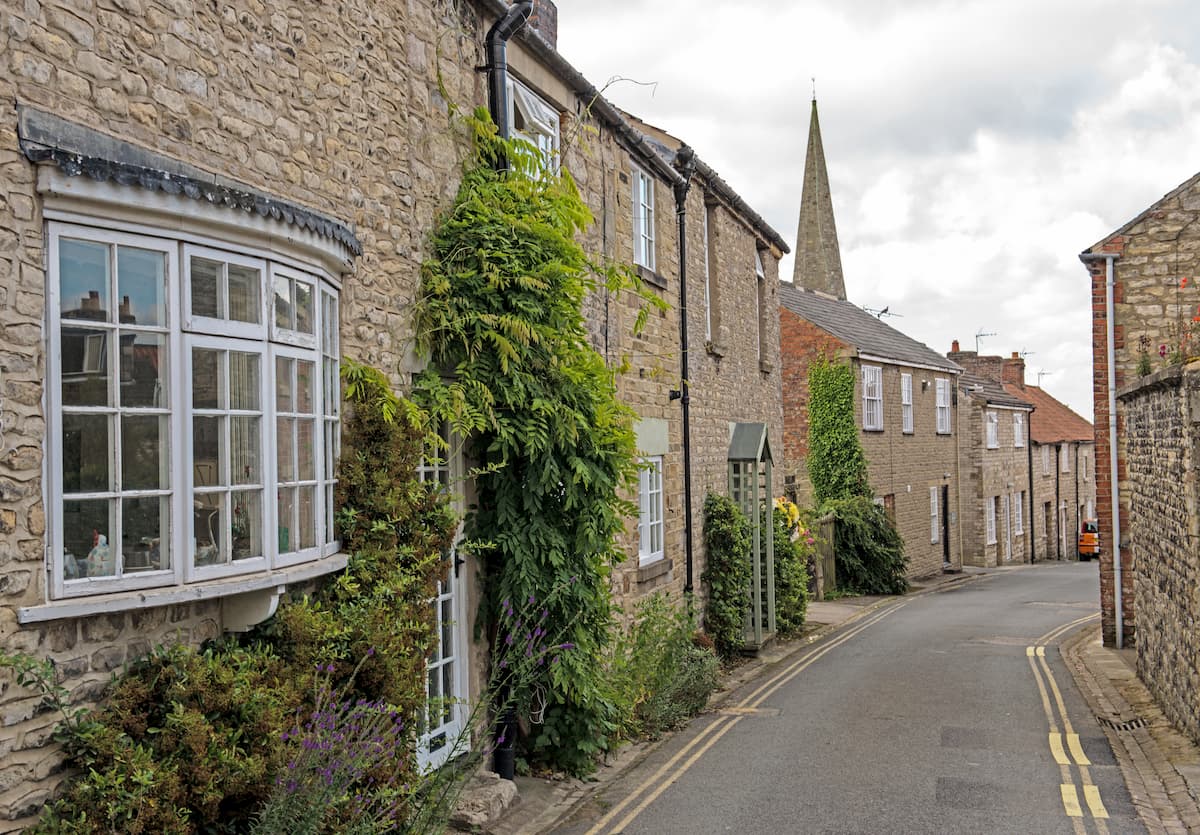
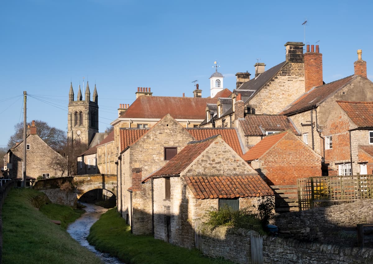
Helmsley is a quaint market town that acts as the North York Moors National Park's administrative center. This small town makes for the perfect base for hikers, with The Cleveland Way starting in Helmsley. You'll also notice some interesting sights around town such as the ruins of Rievaulx Abbey and the medieval Helmsley Castle. Helmsley is home to several upscale hotels, including the Feversham Arms Hotel and Spa, The Black Swan, and Carlton Lodge.


The highest peak in North York Moors National Park is Round Hill, at 454 m.
Notable peaks in North York Moors National Park include Round Hill, Incline Top, Stony Ridge, Loose Howe and Cringle Moor.


