Scan the QR code and open PeakVisor on your phone
The New Forest National Park is a region famed for its stunning heathlands, ancient woods, and diverse wildlife. Situated in the counties of Hampshire and Wiltshire, the park covers roughly 219 square miles. The New Forest National Park is one of 10 national parks dotted across England.
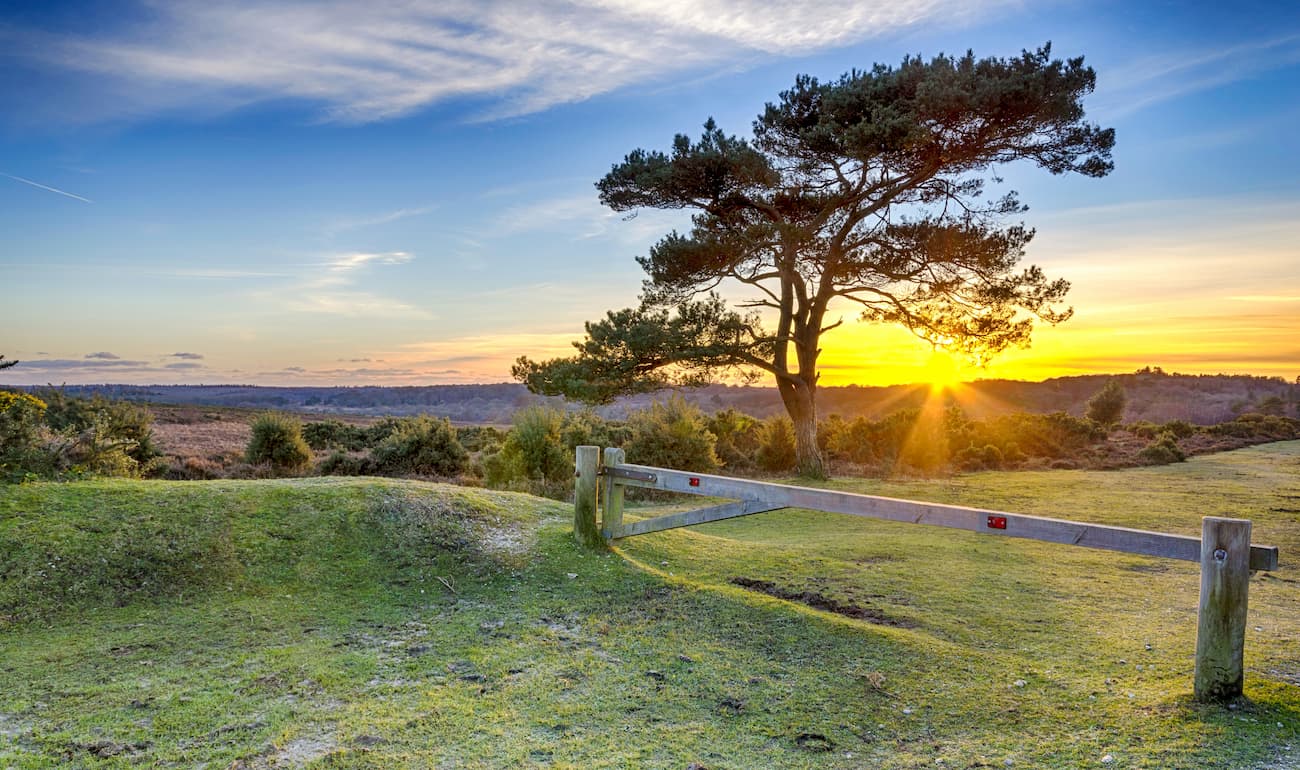
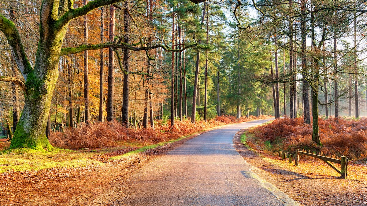
The New Forest National Park is one of the flattest national parks in the UK, with no significant hills or mountains. The highest point in the New Forest National Park is Pipers Wait (140 m), while the most prominent hill is Cockley Hill (133 m). Despite a lack of incline, The New Forest National Park is a popular destination for hikers, due to its 146 miles of hiking and biking trails that meander through the park's breathtaking countryside.
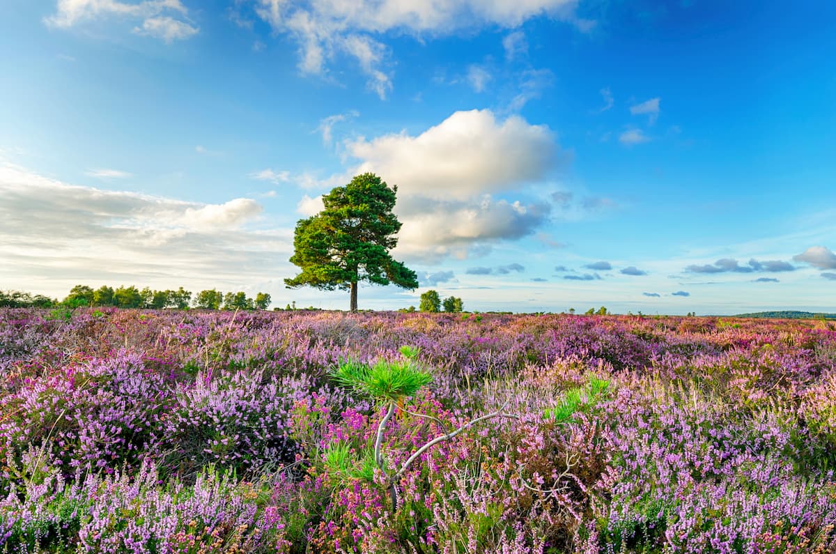
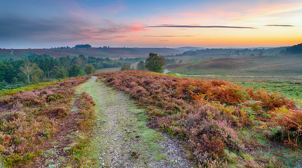
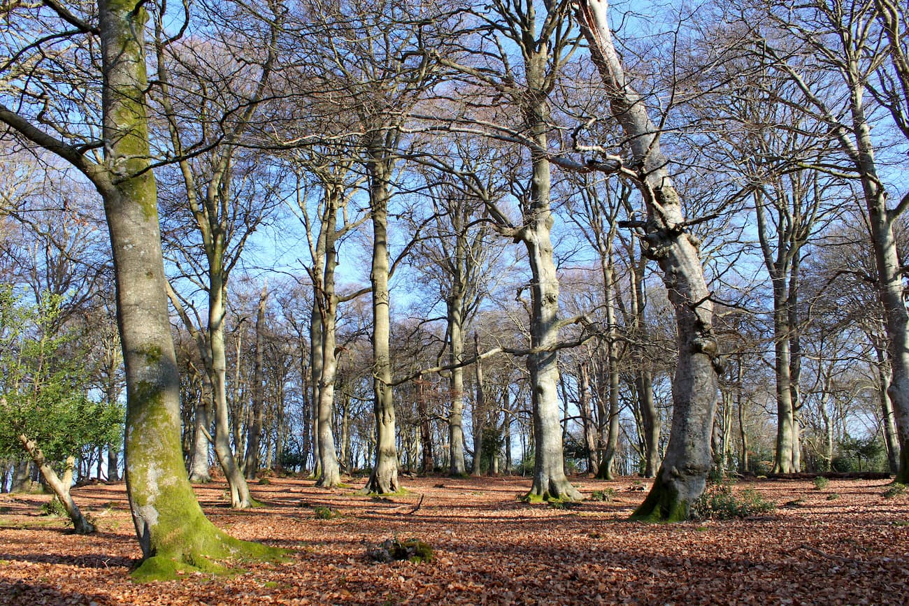
The landscape of The New Forest National Park is varied. It's famed for having the largest area of heathland in Europe, which covers over 38 square miles. Other notable environments include marshlands, forests, and farmlands. While the majority of the park is inland, it also boasts 26 miles of coastline. This diverse landscape makes the New Forest the perfect place to discover the best of southern England.
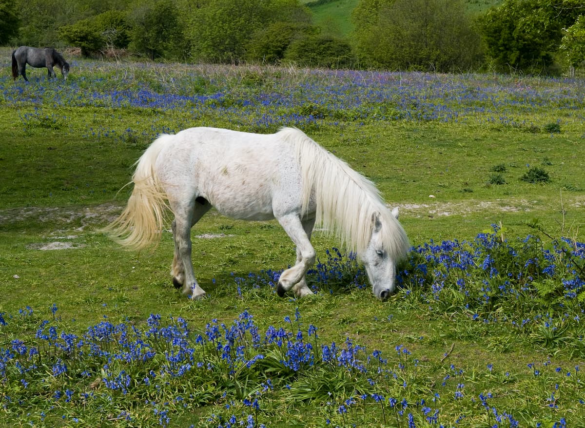
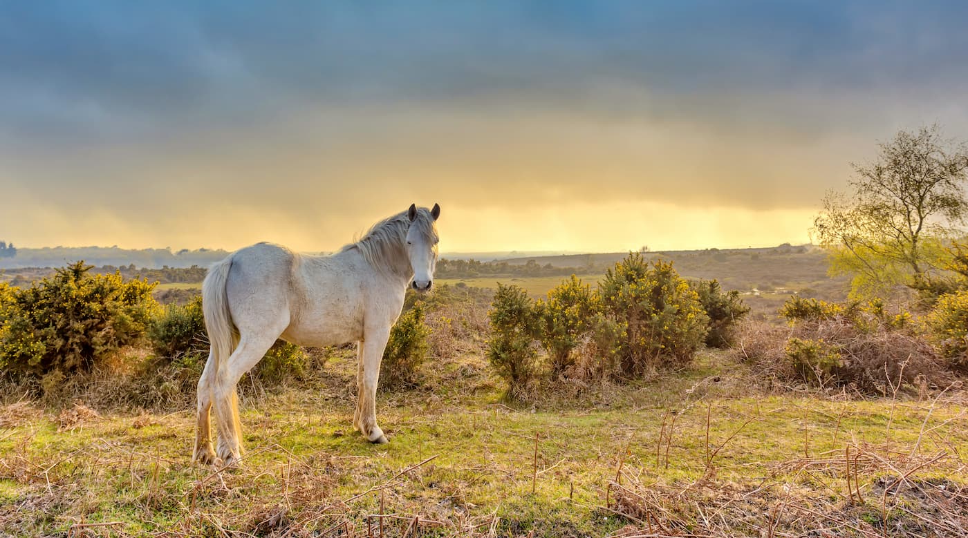
With such a varied environment comes a varied ecosystem. The New Forest National Park is home to an array of bird, insect, and mammalian species. For example, there are thought to be over 2,600 species of beetle inhabiting the New Forest. The most famous inhabitants of the New Forest are the New Forest ponies. These ponies are one of the few wild pony breeds in the UK and have inhabited the area since before the last Ice Age.
Read on to find out about some of the best hiking trails and areas in the New Forest National Park.
The Blackwater Arboretum is one of the most popular hiking destinations in the New Forest. This leisurely walk will take you along a flat gravel path, perfect for a family stroll. Along your walk, you'll pass by some of the oldest Douglas firs in the country. The Tall Trees Arboretum Link is less than two miles and takes about an hour.
Pick up this trail from the Blackwater car park. Cross the road and head through the arched gate to start the walk. Continue straight until you reach an intersection, where you turn right onto the cycle lanes. Then turn right again onto the Tall Trees Trail to loop back around to your starting point.
Bolderwood is a favorite hiking area among tourists, thanks to its deer sanctuary and proximity to Lyndhurst. There are a couple of marked trails within Bolderwood Arboretum, and the longest is the Radnor Trail. The trail is about two miles and takes roughly an hour to complete.
The Radnor Trail is well worn and has red markers. From the Bolderwood car park, head to the Radnor Stone. The path here will lead you through gorgeous beech, oak, and sweet chestnut woodlands, dating back over 150 years. Just past Bratley Water, the path will loop north and around towards your starting point. Towards the end of the walk is a deer viewing platform which is perfect for spotting the park's fallow deer population.
Situated on the eastern edge of the park, this walking trail affords some of the best views of the New Forest's heathlands. The route from Rockford Common to the Huff Duff is just over 4 miles and takes around 2 hours.
From the car park near Moyle Court School, head north onto Avon Valley Path. Continue along the trail and through the gate onto Ibsley Common. Pass over a footbridge and across Mockbeggar Lane, while still following the Avon Valley Path. You'll then end up back in Ibsley Common and onto Summerlug Hill (67 m). Continue following the grassy path northeast, which will lead into Chibden Bottom valley. At this point ensure you keep the Whitefield Plantation on your right to stay on track.
When you reach a cluster of pines known as Robin Hood's Clump, you'll be at the Huff Duff, a finding station from World War II. There's also a nearby air raid shelter which is worth checking out. Head right along the path which will begin to head south. After a trig point, keep left and then turn left at the intersection. Continue straight along the path, which will go downhill towards Dockens Water.
Head left past the National Trust sign, and cross the road into Rockford Commons, which is a fine example of the New Forest's heathlands. Along the commons' gravel path, turn right at the crossroad, which will lead you back to your starting point.
Walking from Brockenhurst to Lyndhurst allows you to explore two of the New Forest's largest settlements at once. The walk from Brockenhurst to Lyndhurst is 10 miles and takes roughly 4 hours.
Start from Brockenhurst train station, before heading down Brookley Road, then Burley Road, and finally onto Meerut Road. Here, you'll pass by the Black Knowl caravan site. Next, follow the cycle lane into the New Park Plantation. The best time to do this hike is during the spring when the plantation is full of beautiful bluebells.
Once on Pinkney Lane, you'll have the option to turn left into the village of Bank for a quick break, or turn right and head straight for Lyndhurst. A quaint village, Lyndhurst is perfect for lunch or a drink. To return to Brockenhurst, catch the train from Lyndhurst station.
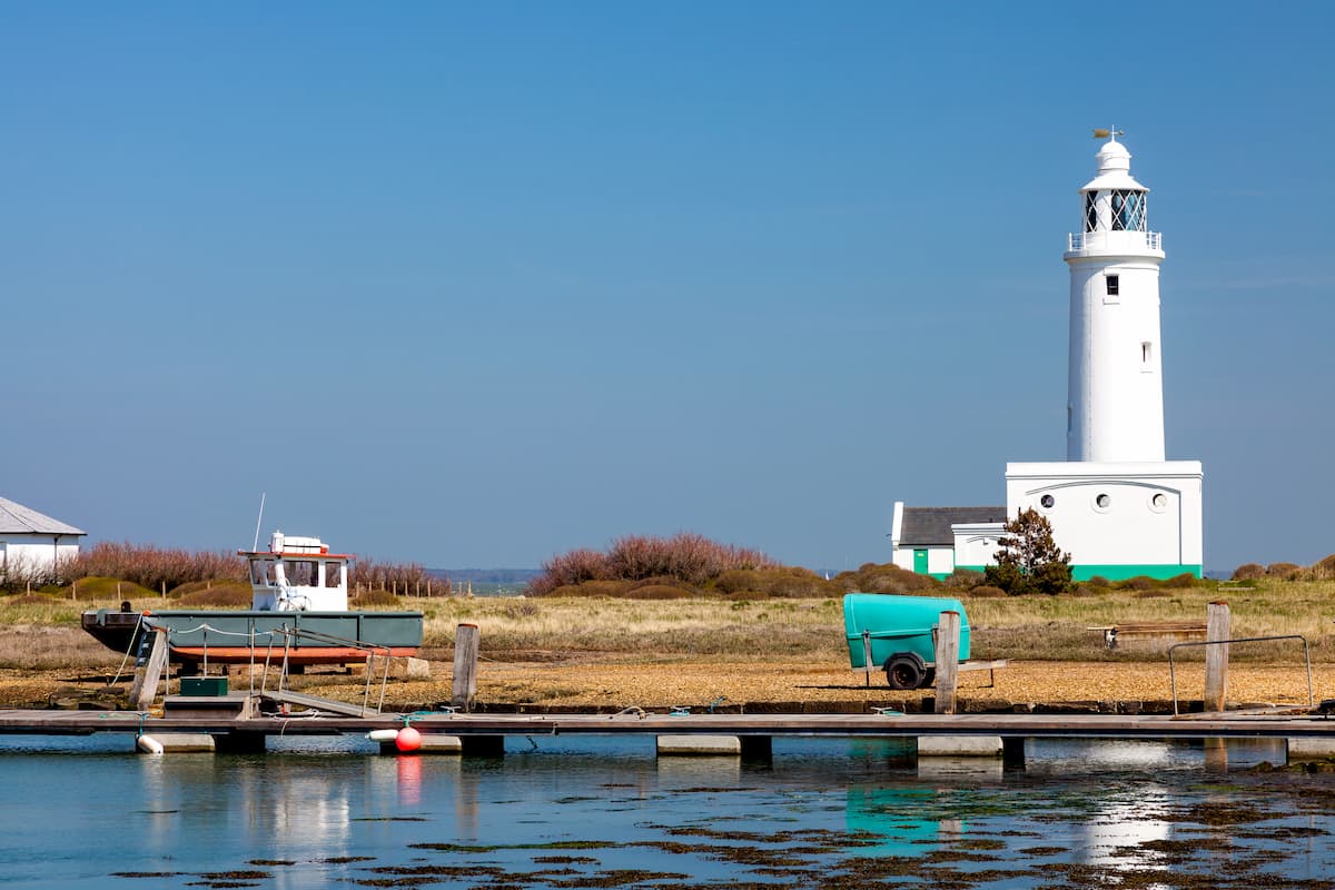
Located in the south of the New Forest National Park, the Keyhaven Marshes is superb for bird watching. The marshes are a hotspot for wading birds, including spoonbills, curlews, and redshanks. You'll also be treated to some sublime coastal views along the way. This route through Keyhaven marshes is a 3.5-mile loop that takes approximately 2 hours.
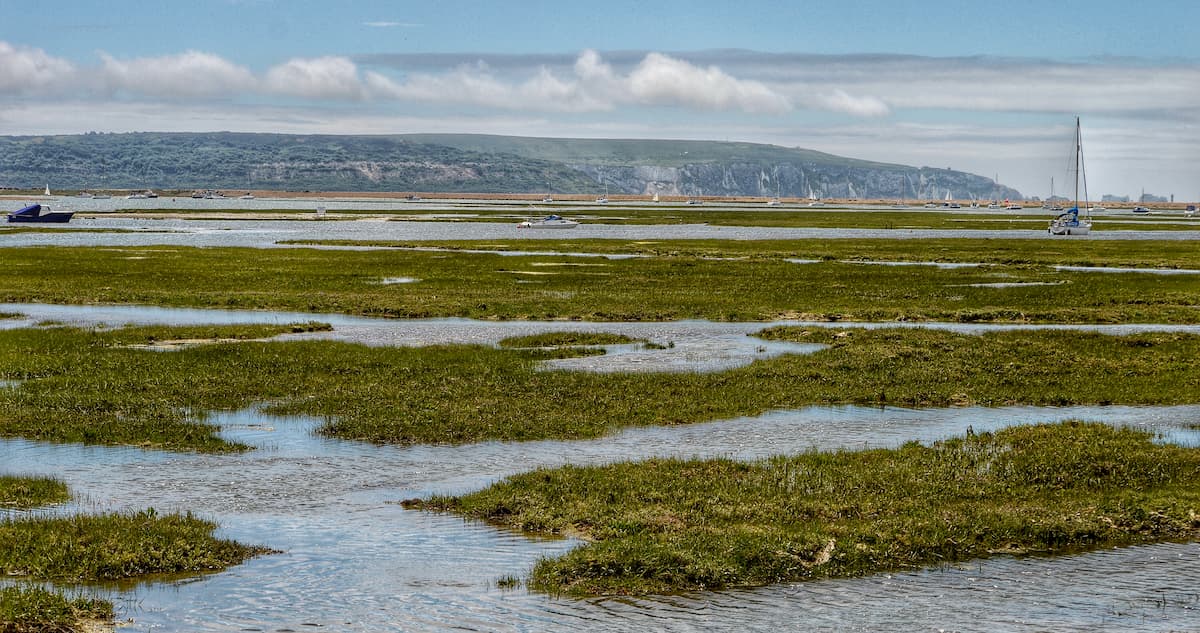
From the Keyhaven public car park, head along the harbor wall and across the Avon Water river. You'll soon come across a path to the right with the "Solent Way Lymington" marker. Head through the gate and past the informational board. Follow the Solent Way along the sea wall, and stop to admire sweeping views of the coast and the Isle of Wight in the distance.
Along the Solent Way, you'll come across a large bird nesting island within Fishtail Lagoon. Continue on the path by the lagoon to your right. Opposite the jetty and pipeline, take the upper road onto Lower Pennington Lane. Turn left at the car park, along the path by the Efford Landfill Site, which is now a lake. Eventually, this track will join up with the paths and lead back to your starting point.
Denny Wood is one of the oldest beech woodlands in the New Forest and is ideal for hiking and nature watching. A hike through Denny Wood is around 6 miles and takes approximately 2 hours.
Start by traveling south from the Denny campsite along the paved trail. Continue south past Denny cottage and lodge for roughly two miles before turning right on the marked cycle path. Turn right again once you've passed through two gates, after roughly a mile. Head north, before turning left then immediately right to continue heading north.
Keep heading north passing over a footbridge, before turning right onto Beaulieu Road. Continue round the bend in the road past the Matley Wood car park to get back to your starting position.
On the southern tip of the New Forest National Park near Milford-on-Sea is one of the best short seaside walks. This oceanside walk is 2.5 miles and takes an hour or two. Starting from Milford-on-Sea you'll walk southeast along the coast. This walk is a straight line there and back. You'll pass along Milford spit, which boasts stunning views of Hurst Castle. Along the way, you'll also pass by the picture-perfect fishing village of Keyhaven. In the distance, you'll be able to spot the Needles and the Isle of Wight. To return to Milford-on-Sea, either walk back or catch the ferry from Hurst Castle.
The Solent Way is a 60-mile hiking trail that runs from Milford-on-Sea to Emsworth Harbour. A large section of this lengthy trek runs through the New Forest National Park. One of the best scenic stretches of this trek is the 10-mile walk from Lymington to Beaulieu. This long-distance walk will take most hikers around 5 hours.
Head northeast from Lymington, crossing the Lymington River bridge. Turn right on Monument Lane before crossing Snooks Farm. This area provides excellent views of the Isle of Wight. Continue east onto the trail to Pykewell Path. Here, you'll pass by the scenic Sowley Woods and then Sowley Pond. Turn right at the crossroads, through the historic Needs Oar Point airfield.
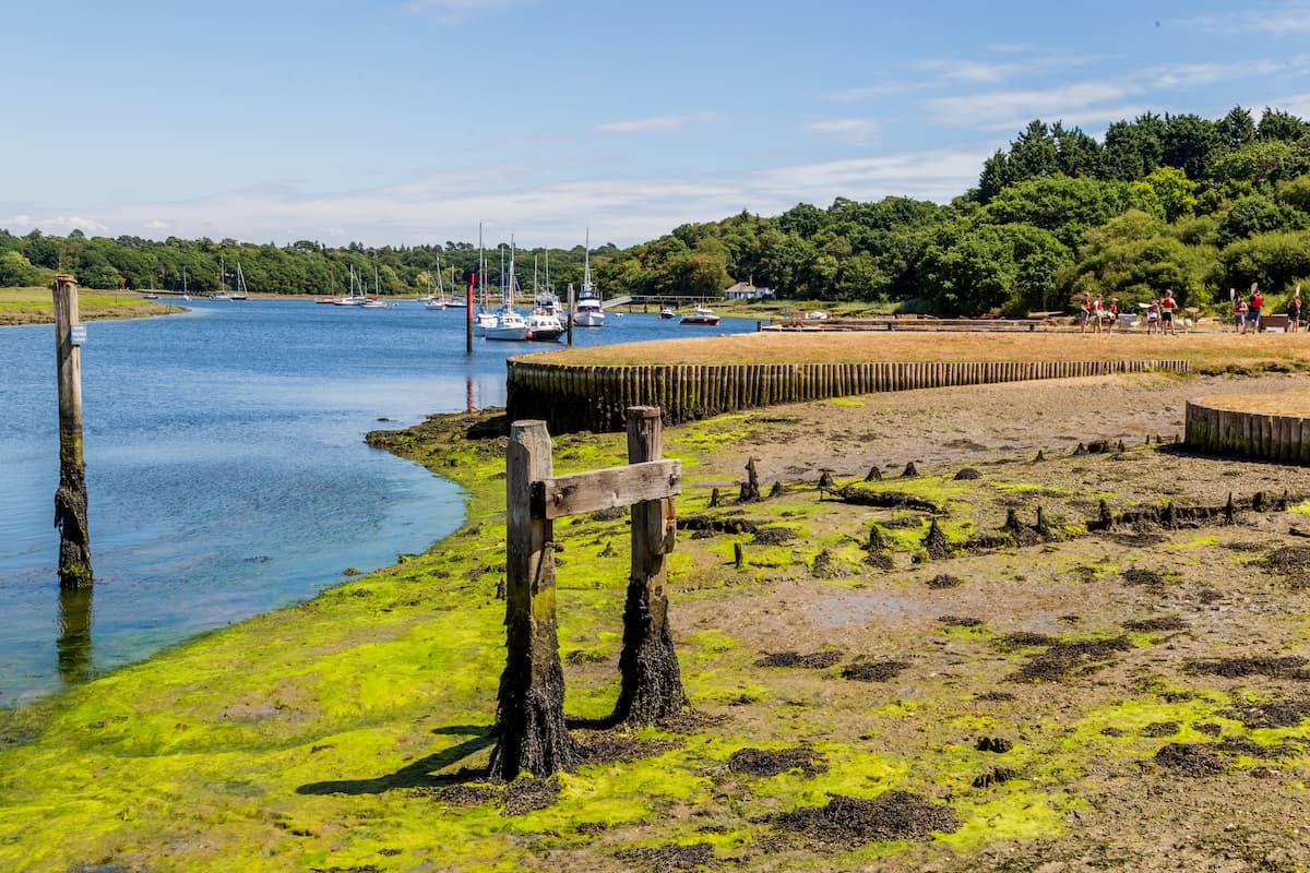
After St Leonard's Farm, take the northern path towards Buckler's Hard, a quaint shipbuilding village. From Buckler's Hard, follow the path along Beaulieu River. The river is popular with birdwatchers, with oystercatchers, teal, and ringer plover often spotted along the riverbanks. Once you arrive in Beaulieu, be sure to stop for a snack or take a tour of the Palace House. You can return to Lymington by catching the bus.
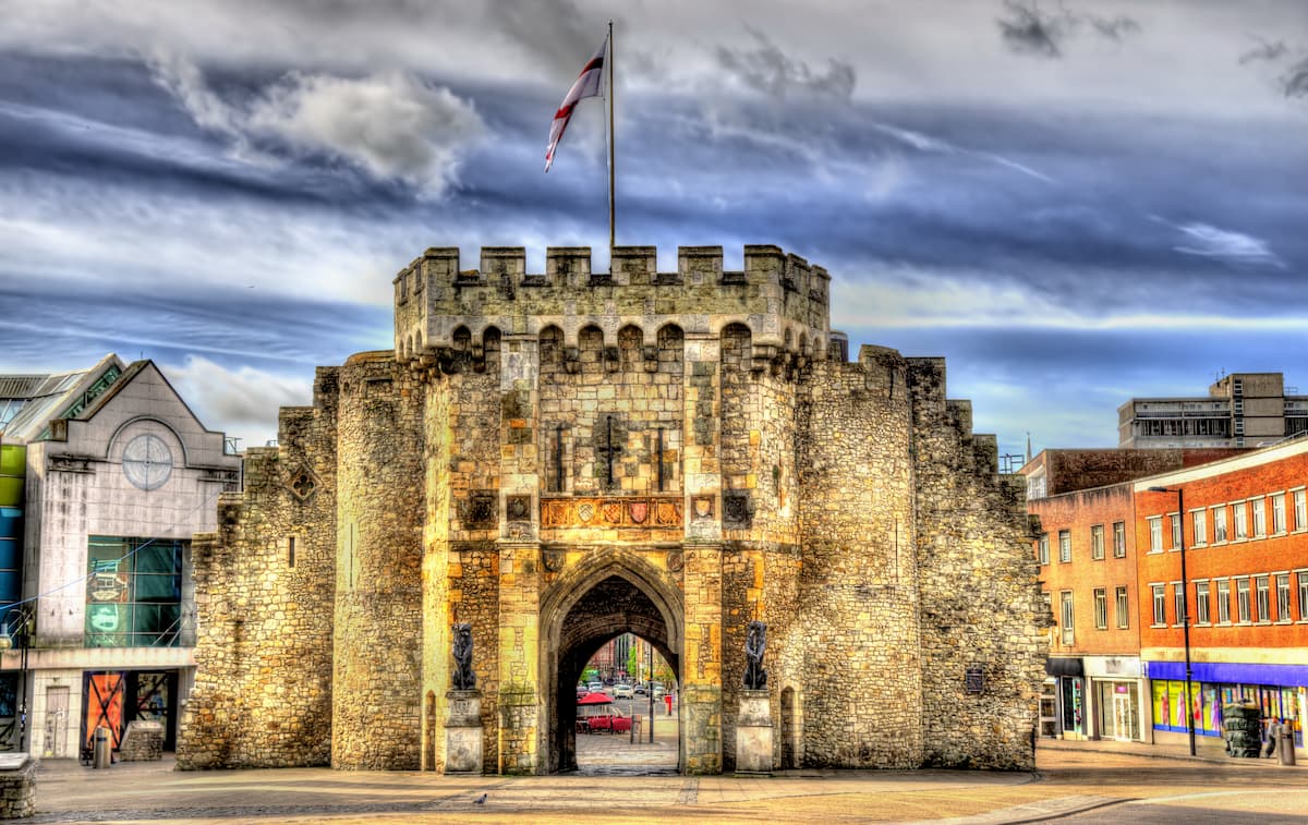
Southampton is one of the largest cities on the south coast of England and makes for a great from which to explore the New Forest National Park. Despite having a population of over 250,000, Southampton is just 7 miles from the edge of the park. You can easily reach the New Forest by car or train, with multiple services stopping in Brockenhurst and Lymington. Southampton offers some superb attractions, like the Southampton City Art Gallery and the SeaCity Museum. You'll also find loads of high-quality hotels in Southampton, including the Leonardo Royal, the White Star Tavern, and the Argyle Lodge.
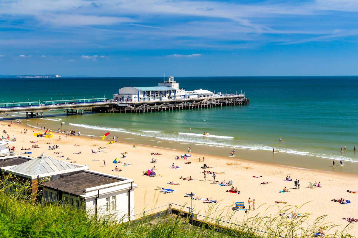
Bournemouth is a popular holiday destination, with tourists flocking from across the country to take advantage of the town's white sandy beaches. Like Southampton, Bournemouth is also a large metropolitan area, but is still only 11 miles from the park, with direct access via car or train. Bournemouth is an excellent vacation destination for families, with excursions including the Bournemouth Oceanarium and Brownsea Island. Some of the best accommodation options in Bournemouth include the Hotel Miramar, the Cumberland Hotel, and the Hilton Bournemouth.
Hikers looking to stay at the heart of the New Forest will want to book a room in Lyndhurst. Despite having a population of only 3,000, Lyndhurst is one of the largest settlements in the New Forest National Park and also serves as its administrative center. Despite its size, Lyndhurst does offer some fun excursions for families, including Paulton's Park and the New Forest Reptile Centre. Lyndhurst is very popular with tourists, and there are several hotels in the village, like the Crown Manor House and the Forest Lodge Hotel.
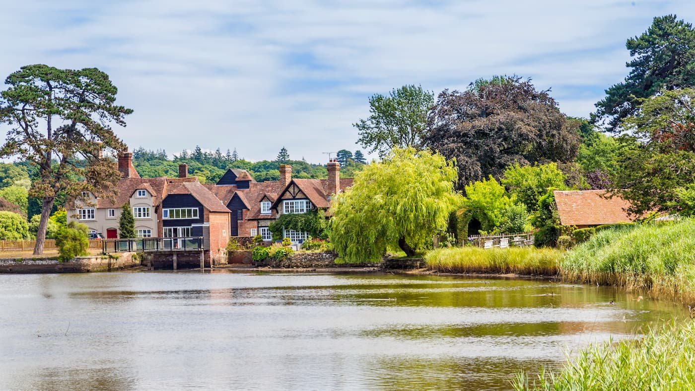
Brockenhurst is the largest village by population in the New Forest National Park. It's located towards the southeastern edge of the park and affords easy access to the coast and many of the best hiking areas. While Brockenhurst doesn't offer many attractions, it's considered one of the most charming villages in Britain. Brockenhurst also boasts some of the finest hotels in the New Forest, like Careys Manor Hotel and The Pig.
Beaulieu is perhaps the best-known village in the New Forest due to its nearby attractions and long history. It's also one of the most scenic settlements in the New Forest, with the name Beaulieu literally meaning "beautiful place" in French. While staying in Beaulieu, be sure to tour the 13th century Palace House, or peruse the car collection at the National Motor Museum. Beaulieu is a tiny sleepy village, but still has a couple of classy hotels, like the Montagu Arms Hotel and the Beaulieu Hotel.