
Scan the QR code and open PeakVisor on your phone
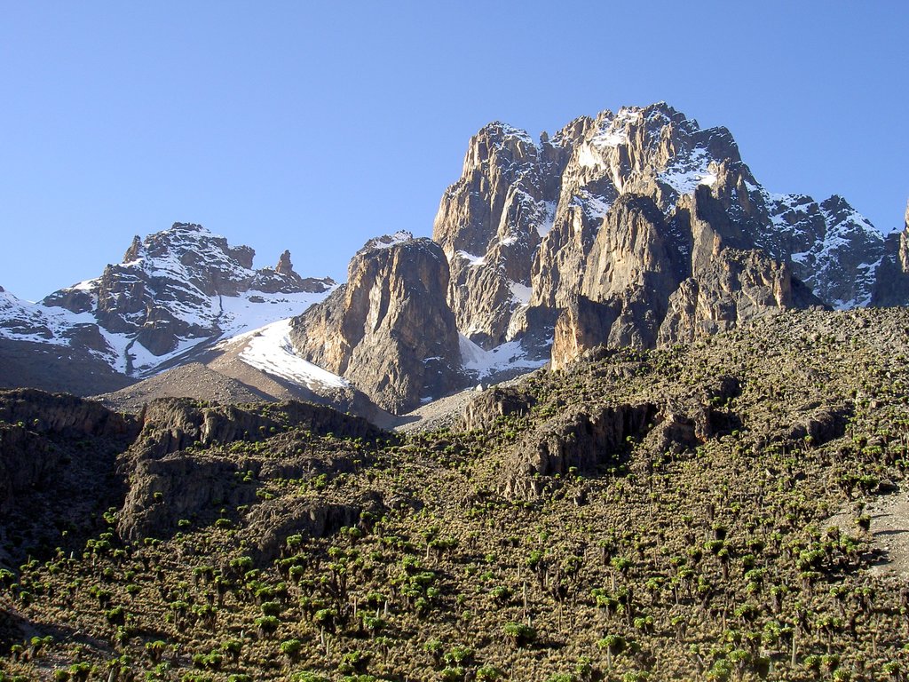
Mount Kenya National Park has 44 named peaks. The highest is Mount Kenya - Batian at 5,199 m. Other notable peaks include Mount Kenya - Nelion, Mount Kenya - Point Lenana and Mount Kenya - Point Thomson.
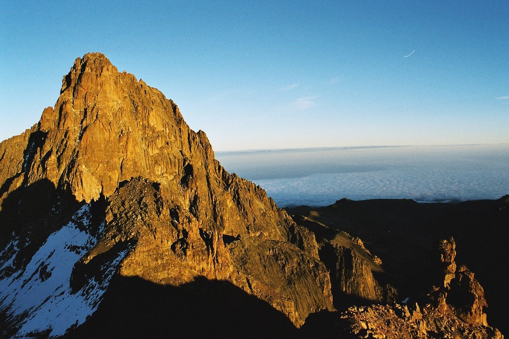
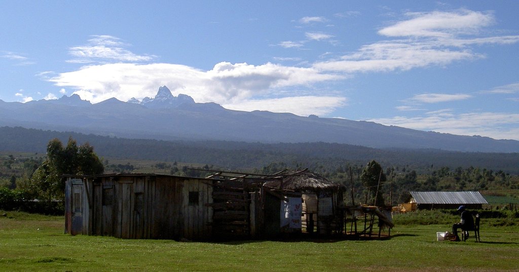
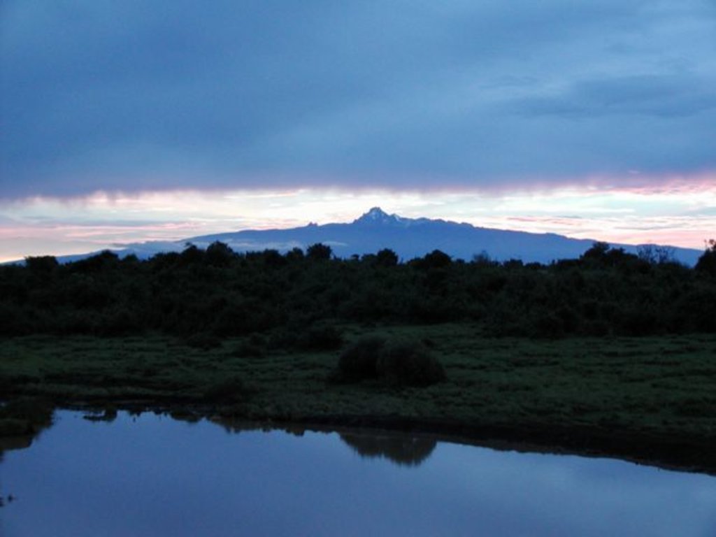
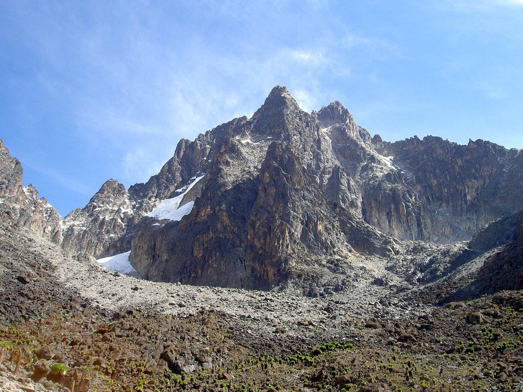
Mount Kenya National Park is the main one of the 23 national parks of Kenya, a country in East Africa. The main feature of the park is the mountain of the same name, which is the highest in the country and the second highest in the whole of Africa, after Kilimanjaro (5,895 m / 19,341 ft). Mount Kenya, as part of Udzungwa Mountains, is surrounded by a protected forest with many species of local flora and fauna. The mountain, as an important source of watershed, also supplies the country with water. There are 44 named mountains in Mount Kenya National Park. The highest and the most prominent peak is Mount Kenya — Batian (5,199 m / 17,057 ft). Interestingly, the list of the 10 highest peaks of the park and the entire country includes nine more Mount Kenya peaks.


ultra
volcano
africa-4000ers
kenya-ultras
ultra
volcano
africa-4000ers
kenya-ultras
The highest peak in Mount Kenya National Park is Mount Kenya - Batian, at 5,199 m.
Notable peaks in Mount Kenya National Park include Mount Kenya - Batian, Mount Kenya - Nelion, Mount Kenya - Point Lenana, Mount Kenya - Point Thomson and Mount Kenya - Point Melhuish.


