
Scan the QR code and open PeakVisor on your phone
Kakadu National Park has 38 named peaks. The highest is Table Top at 466 m. Other notable peaks include Mount Evelyn, Ngartluk and Big Sunday.
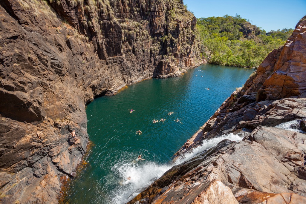
Kakadu National Park is one of Australia's more than 600 national parks, which is located at the northernmost tip of the continent. Three main features of the park are its landscape with many mountains and a huge plateaus in Kakadu Escarpment, from which the mighty Jim Jim Falls of 200 m (656 ft) tall flow down; diverse flora and fauna with dozens of unique species; and the local tribe of aborigines Gaagudju, which gave the park its name (and the parrot species, сockatoos), whose past presence is evident in the rock paintings. There are 38 named mountains in Kakadu National Park. Table Top (466 m / 1,529 ft) is the highest point. The most prominent mountain is Magela (301 m / 988 ft).

The highest peak in Kakadu National Park is Table Top, at 466 m.
Notable peaks in Kakadu National Park include Table Top, Mount Evelyn, Ngartluk, Big Sunday and Mount Callanan.


