Get PeakVisor App
Sign In
Search by GPS coordinates
- Latitude
- ° ' ''
- Longitude
- ° ' ''
- Units of Length

Yes
Cancel
❤ Wishlist ×
Choose
Delete
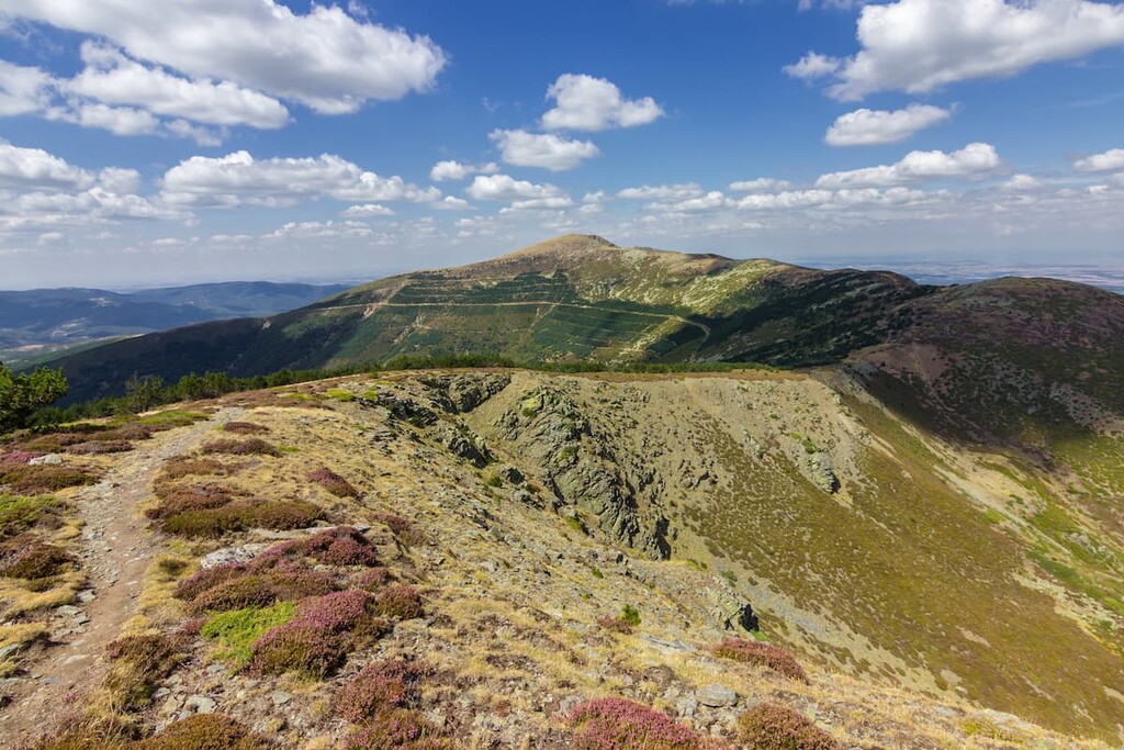
Located in northern central Spain, lies Espacio Natural de la Sierra de la Demanda (Sierra de la Demanda Natural Area); a stunning outdoor recreation destination known for its mountainous landscape. The park contains 125 named mountains. The tallest peak in the park is San Millán at 2,130 m (6,988 ft) and the most prominent peak is Campina with 644 m (2,113 ft) of prominence.
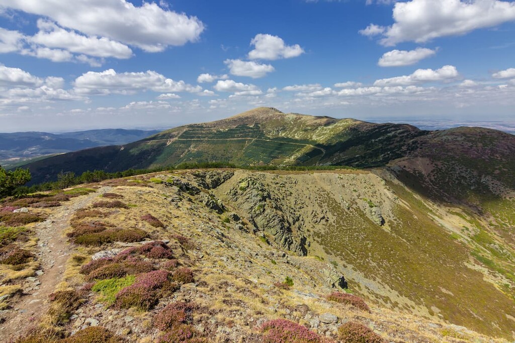
Espacio Natural de la Sierra de la Demanda is situated in the northern region of Spain. The park encompasses the Sierra de la Demanda sub-range which is part of the greater Sistema Ibérico. The park spans 89,270 ha (220,591 acres) across northern Spain.
Espacio Natural de la Sierra de la Demanda is also broken down into three more subranges; San Millán, Mencilla, and Neila. The park is situated on the southeastern edge of the province of Burgos. The upper valley of the Arlanzon river separates the two main massifs that lie within the park boundaries.
The peaks in the park are often covered in snow while lower elevations are covered in lush forests. Intermixed throughout the forest lie the vast pastures of Monterrubio de la Demanda, Huerta de Arriba, and Tolbaños de Abajo. Within the valley of the Frio river lies a network of various lagoons, many left behind by once present glaciers.
Additionally, Espacio Natural de la Sierra de la Demanda is surrounded by other popular outdoor recreation areas. The Parque natural de la Sierra Cebollera lies to the east, with the Parque Natural Montes Obarenes-San Zadornil and Parque Natural Hoces del Alto Ebro y Rudron lie to the north. Northwest of the park lies numerous protected areas throughout the Cantabrian Mountains.
Similar to much of the mountains in Spain, the Sierra de la Demanda consist of limestone and siliceous dating back to the Carboniferous time period. The peaks were formed around 350 million years ago compared to the Alps that were formed 770 million years ago.
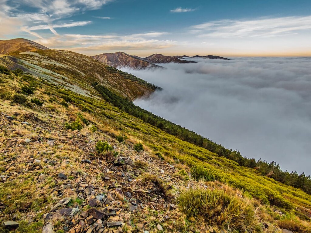
The peaks throughout the park were formed by the eroding glaciers that once covered the entire region during the Quaternary period. Today the lagoons in the park mark the final remnants of the once mighty sheets of ice.
The Sierra de la Demanda are marked by their abrupt reliefs, similar to other parks of the Iberian System. The craggy rock formations are found along the ridgeline, while the foothills showcase smooth and more gentle slopes.
Major peaks within the park include Peña Orniz, Cornón, Alto del Bigardón, Redondo, and Pico Turrunteira.
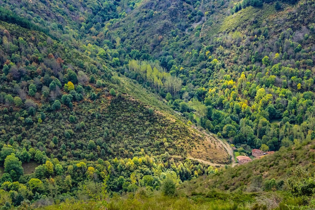
Much of the park’s landscape is covered in dense forests. Beech, oak, and rebello trees are interspersed with patches of Scots pine. Large patches of holly are also found throughout the park along with some yew trees.
The Espacio Natural de la Sierra de la Demanda is known for its animal biodiversity. The region is home to a recovering population of wolves, along with roe deer, deer, wildcat, badger, otter, and desman.
Birds of prey are quite common in the park with the most populous species being golden eagles, goshawk, honey buzzard, and short-toed eagle. Smaller bird populations pass through the park throughout their migratory patterns.
It is estimated that humans have inhabited the region surrounding the park for hundreds of thousands of years. The city of nearby Burgos was founded in 884 CE. In the foothills of the mountains are remnants of necropolis showcasing the extensive history of the land.
Prior to the 5th century the park, and much of the surrounding region belonged to the Hispania Citerior. During the 1500’s the population of Burgos, in the foothills of the park, began to thrive as both a farming and trading hub for the local communities.
Somiedo is just one of many Biosphere Reserves within the region. Though they are all managed separately, discussion has been made about combining all of them into one “super reserve”.
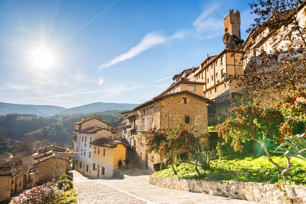
Espacio Natural de la Sierra de la Demanda is home to numerous trails. Here are some of the top hiking areas to visit in the park:
This 35.4 km (22 miles) out and back hike has 1,963 m (6,440 ft) elevation gain. The up and down trail starts on the western edge in the northern region of the park and travels eastward. This multi-day trek takes visitors along one of the main ridgelines in the park, allowing for panoramic views of the forests, rolling slopes, and lagoons.
The trail to the tallest peak in the park is 12.2 km (7.6 miles) roundtrip with 1,087 m (3,566 ft) elevation gain. The route winds through the forests at the lower elevations before steeply climbing up to the summit. This hike is best completed during the summer months to avoid too much snow coverage.

Starting at the north end of the park, in the city of Pradoluengo lies this loop trail. The route is 16.6 km (10.3 miles) with 837 m (2,746 ft) elevation gain. The first half of the trail winds through the lower elevation forest following along the Arroyo de Pradoluengo, before climbing up to a ridgeline.
Looking for a place to stay near Espacio Natural de la Sierra de la Demanda? Here are some of the best cities and villages to check out in the region:
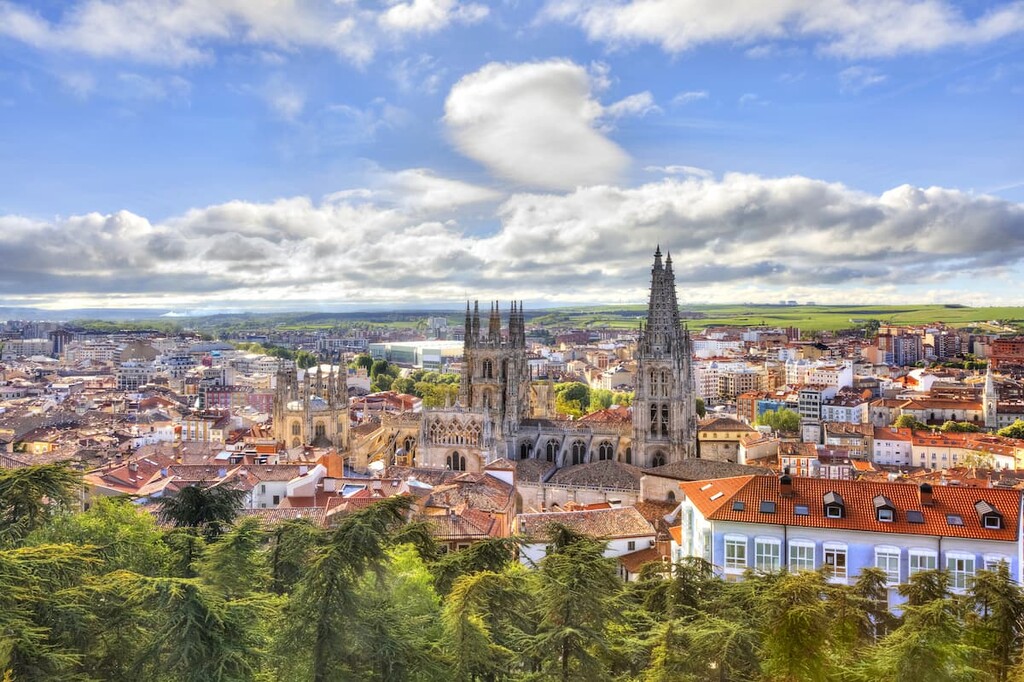
Located less than an hour, northwest of the park, lies the city of Burgos, capital of the province of Burgos. The city is situated overlooking the Arlanzon River and has a population of over 175,000.
Burgos acts as a trade and tourist center for the regino, full of a rich history and culture. Well-known foods of the city include the queso de Burgos and the morcilla de Burgos, both popular in local cafes. The main route of the Camino de Santiago passes through the city making it a popular stop for those on the long journey.
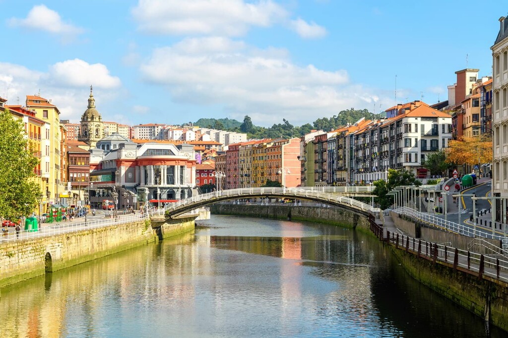
Northeast of the park lies the city of Bilbao. With a metro population of over 1 million, the city is the largest in all of the Basque Country and northern Spain. Though the city is outside of the park, it is also home to two small mountain ranges that help give Bilbao its moderate climate.
Because Bilbao is the largest city in the region it acts as a cultural hub. Basque is spoken throughout the city and surrounding region and is home to its unique style of cuisine. The city also has over a dozen museums, many dedicated to Basque cultural and heritage.
Explore Espacio Natural de la Sierra de la Demanda with the PeakVisor 3D Map and identify its summits.


