Scan the QR code and open PeakVisor on your phone
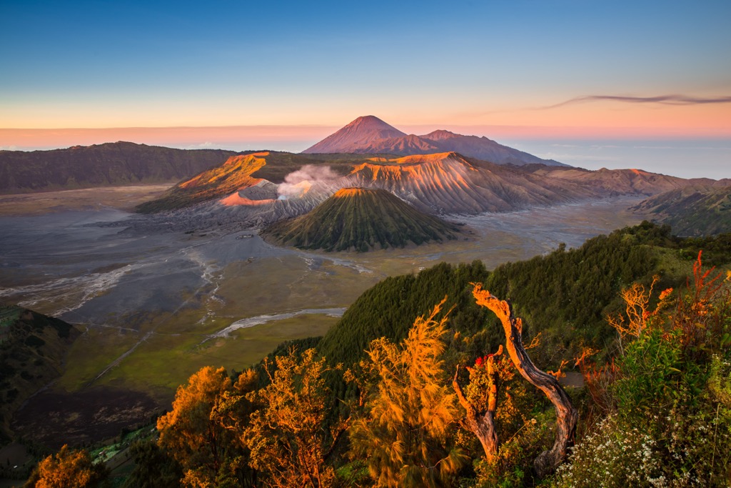
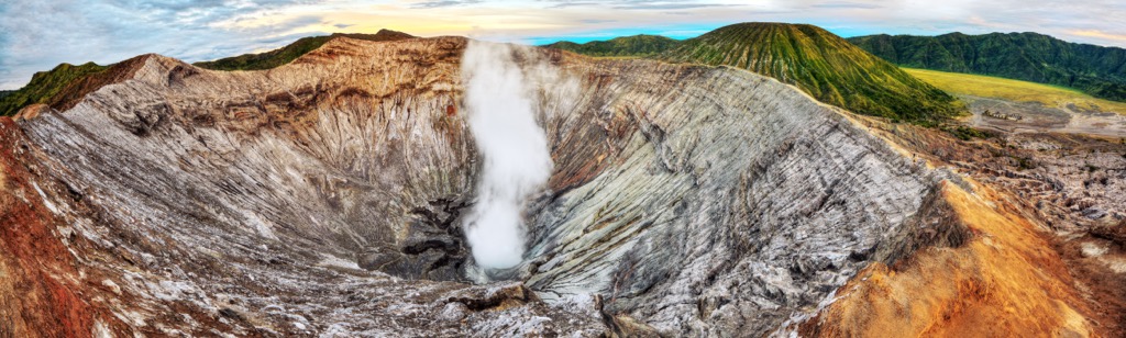
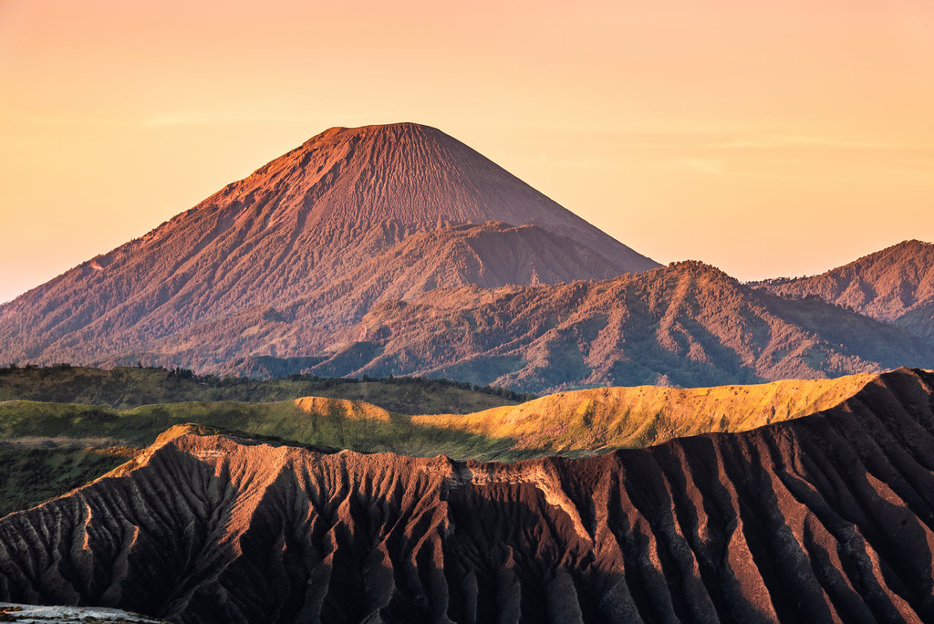
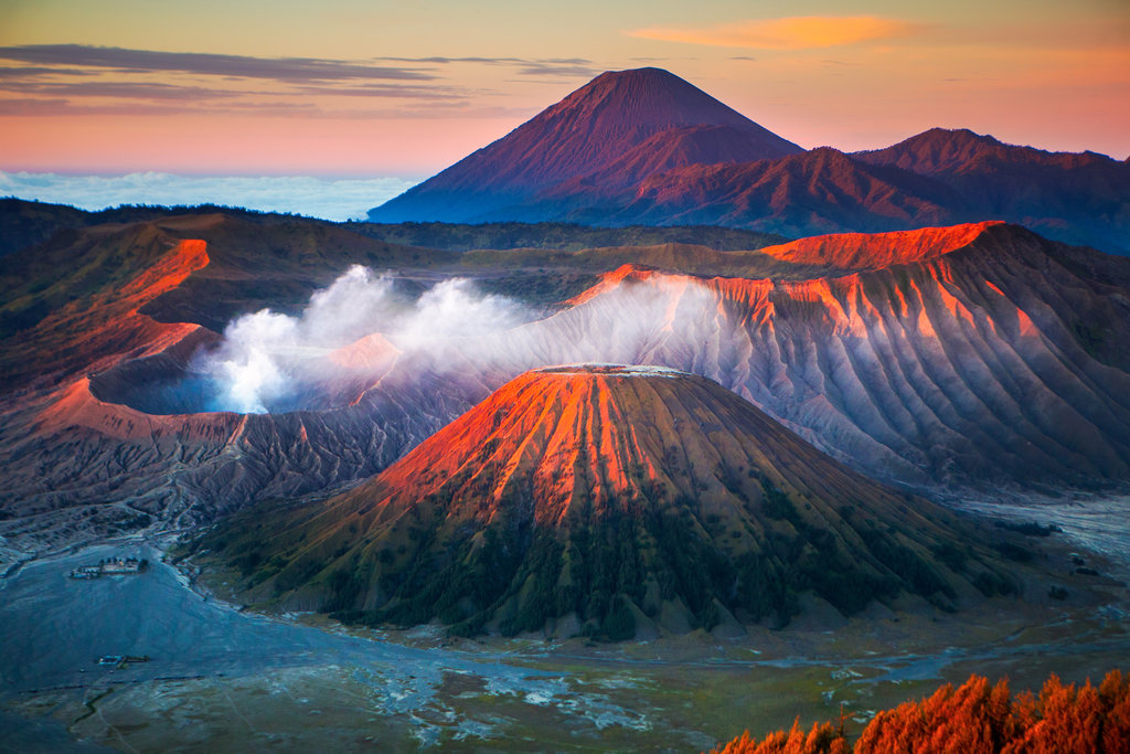
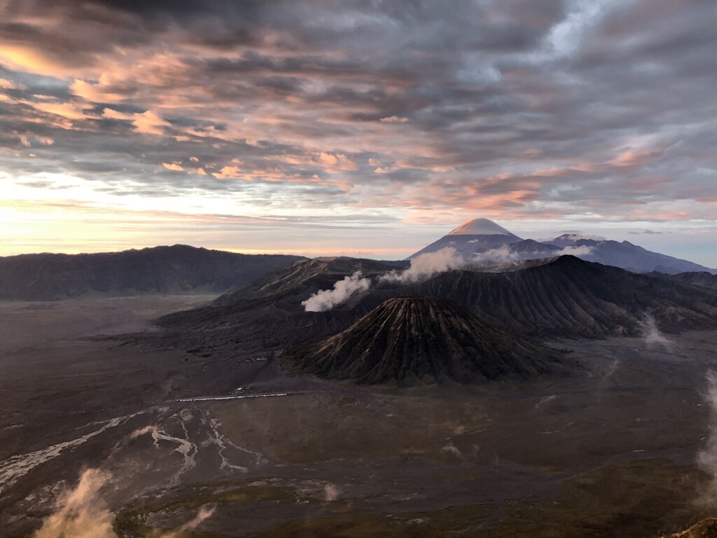
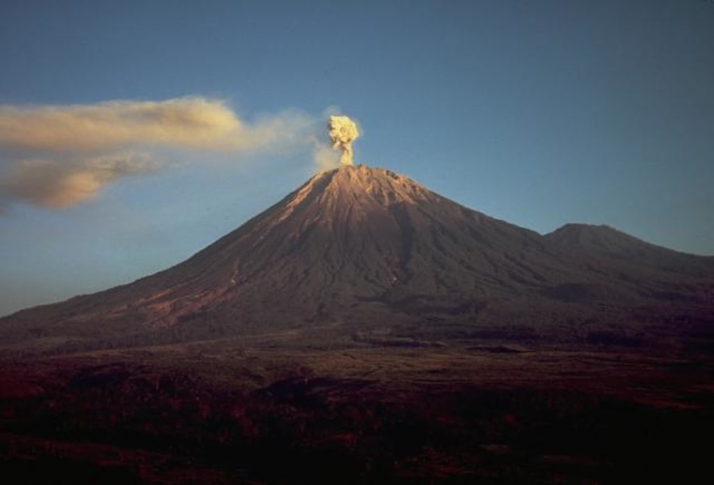
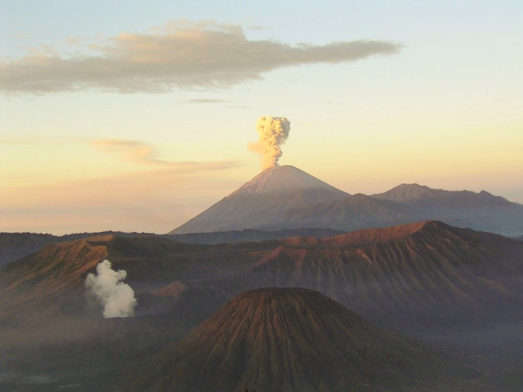
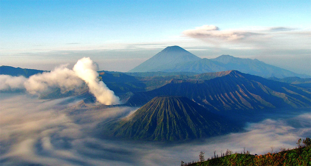
Bromo Tengger Semeru National Park is one of the top of 54 national parks in Indonesia, an island nation in Southeast Asia and Oceania, north of Australia, located on the Java Island. The main feature of the park is the Tengger Volcanic Massif consisting of a series of active volcanoes, including Gunung Bromo (2,347 m / 7,700 ft)—the most accessible to tourists and therefore the first in the name of the park, Gunung Batok (2,470 m / 8,103 ft), Gurung Widodaren (2,650 m / 8,694 ft) and others. The highest and the most prominent mountain in the park and the whole of Java, Gunung Semeru (3,676 m / 12,060 ft), is a separate volcano in the complex of the same name, standing slightly apart, but no less important and famous. In total there are 62 named mountains in Bromo Tengger Semeru National Park.