Scan the QR code and open PeakVisor on your phone
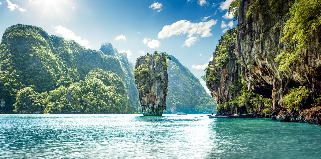
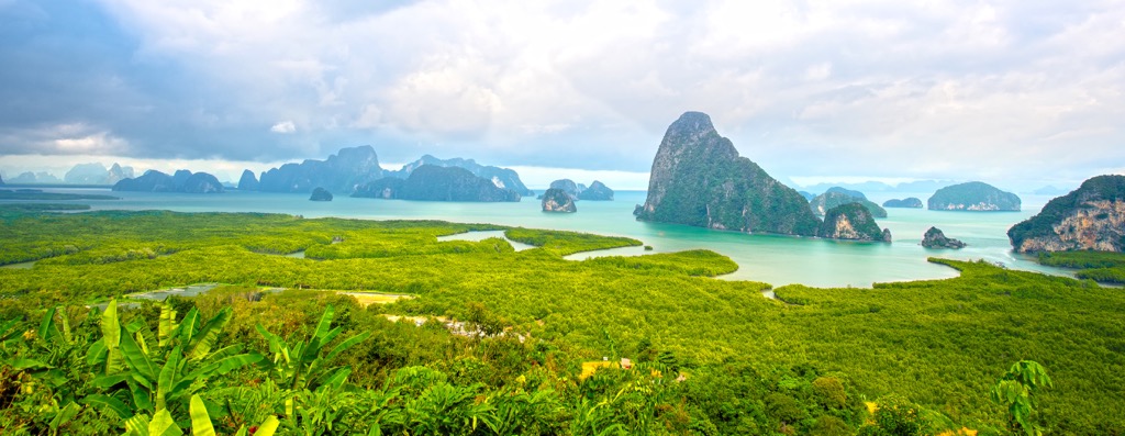
Ao Phang-nga National Park (อุทยานแห่งชาติอ่าวพังงา) is one of the main of 156 national parks in Thailand, a country in Southeast Asia, located in the south of its territory. The main feature of the park is the incredibly beautiful postcard-like tropical landscape of Phang-nga Bay of the Andaman Sea of the Indian Ocean with numerous limestone tower karst forested islands. First and foremost is Khao Phing Kan, standing freely in the water near the coast. The park also contains one of the largest and best-preserved mangrove forests in all Thailand. There are 5 named mountains in Ao Phang-nga National Park. The highest and most prominent mountain is Khao Phang (381 m / 1,250 ft).