Scan the QR code and open PeakVisor on your phone
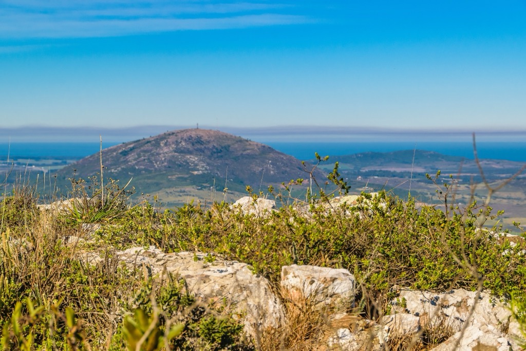
Uruguay is nestled in southeastern South America and shares a border with Brazil and Argentina. Diverse geography offers visitors a unique blend of natural beauty. While it may not have towering mountain ranges like its neighbors, Uruguay showcases stunning landscapes, from rolling hills to serene coastal plains. There are over 836 named peaks among Uruguay’s two major mountain ranges. In the country’s southeast, Cerro Catedral stands 513 m (1683 ft) above sea level and is Uruguay's tallest and most prominent peak.
Uruguay is a country along the Atlantic coast of South America and shares borders with Brazil to the north and Argentina to the south. The Rio de la Plata forms the southern coast of Uruguay, where the capital city of Montevideo is a major port.
Uruguay, the smallest Spanish-speaking nation in South America, is the world’s only sovereign nation that does not extend north of the 30-degree south latitude. Furthermore, the capital city of Montevideo is the southernmost capital in South America and the third most southern capital in the world, after Canberra and Wellington.
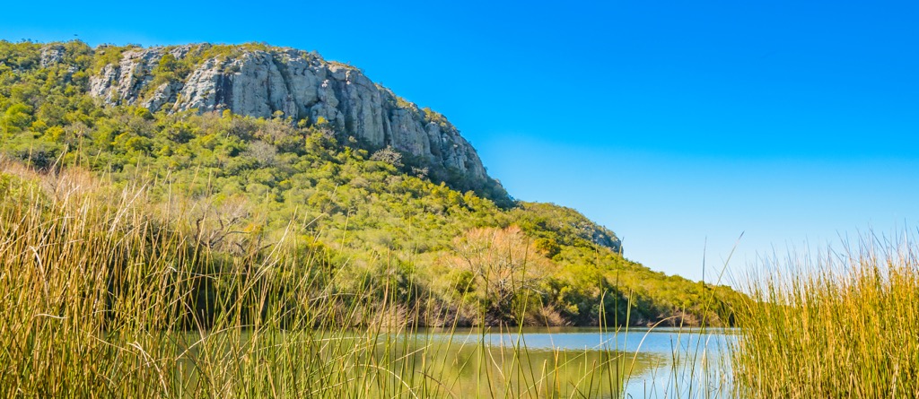
There are notable mountain ranges in Uruguay. Known as Cuchilla Grande and Cuchilla de Haedo, these low, hilly ranges are a transition between the flat Pampas of Argentina to the south and the uplands of Brazil to the north.
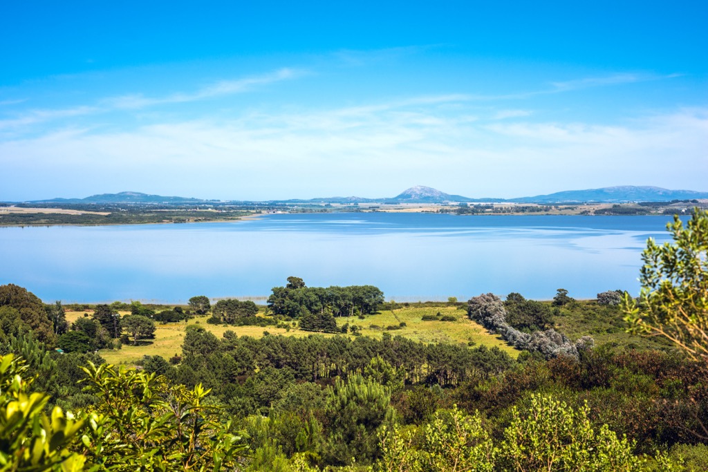
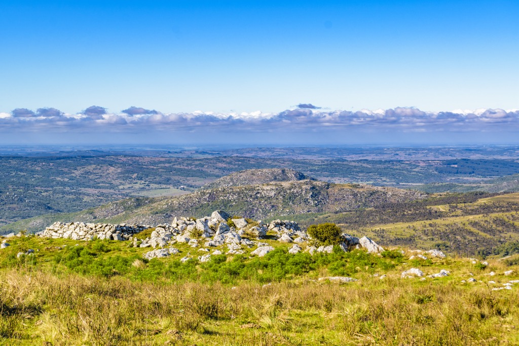
The most impressive range is the Cuchilla Grande which reaches from the north to the south of Uruguay. Cerro Catedral is the tallest and most prominent peak, with a modest elevation of 513 meters (1,684 ft) and a prominence of 381 m (1,250 ft). Rolling hills characterize the range; however, despite the low altitude, the Cuchilla Grande provides picturesque views and is a popular destination for hiking.
West of the Cuchilla Grande is the Cuchilla de Haedo mountain range which runs parallel to the Cuchilla Grande. It’s smaller in scale but similar to the Cuchilla Grande. The Cuchilla de Haedo separates the interior of Uruguay from the western border with Argentina, providing a natural boundary between the two countries.
Uruguay is generally progressive, ranked high for democracy, peace, low perception of corruption, economic freedom, income equality, and per-capita income. Uruguay, one of Latin America's most socially progressive countries, has also made strides to protect and conserve wilderness areas.
The national parks of Uruguay help preserve the wilderness and culture of the country. The following are the major national parks in Uruguay which serve as havens for diverse ecosystems, supporting a wide variety of flora and fauna, and providing opportunities for wilderness recreation to locals and tourists.
The core of Uruguay's geology is the Rio de la Plata Craton, a stable geological region that dates back over a billion years. The craton is an extensive area of crystalline basement rock which underlies Uruguay, southern Brazil, and eastern Argentina.
Cratons, such as the Rio de la Plata Craton, were among the first landmasses to form and remain solid as the earth was cooling during the Precambrian. They now form the basis of the continents. In South America, the Rio de la Plata Craton is the foundation upon which subsequent geological events have transpired, giving us the country we see today.
Cratons are old; the western part of the craton, including the Cuchilla de Haedo, formed about 2 billion years ago. Between 700 and 500 million years ago, during the breakup of the supercontinent of Rodinia, two major terranes accreted to the craton; the Nico Perez Terrane to the east coast, followed by the Cuchilla Dionisio Terrane. The accretion of the Cuchilla Dionisio likely caused the uplift of the Cuchilla Grande Mountain Range.
Many unique geological formations exist across Uruguay, reflecting the country's creation and history. The Tacuarembó and Santa Lucia formations are sedimentary rock units that contain fossils from millions of years ago.
In northwestern Uruguay, the basaltic lavas of the Paraná Basin date back around 130 million years. Known as the Serra Geral Formation, these lavas erupted during the breakup of the supercontinent Gondwana. Today, the lavas form the distinctive basalt plateaus known as cuchillas.
Furthermore, Uruguay is the location of several major geological shear zones intruded by dyke swarms. While similar to igneous rocks that formed near subduction zones, the Uruguayan dyke swarms originated when lava intruded between the layers of sheared rock, creating wall-like structures which are generally more resistant than the surrounding rock.
While the Rio de la Plata Craton extends underneath all of Uruguay, it is typically only visible in the southern part of the country. Layers of sedimentary rock, ranging from Devonian-aged sandstone to Quaternary-aged loess, cover the rest of the landscape.
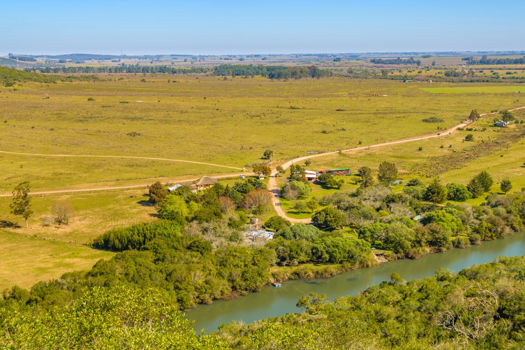
Uruguay’s relatively mild and fairly uniform nationwide climate is classified as humid subtropical. While four pronounced seasons exist, there are rarely extremes in temperature, leading to the country's savanna-like ecology. Formerly, Uruguay was covered in grasslands, palm savannas, and gallery forests along the Uruguay, Negro, Yaguarí, Queguay, and Tacuarembó rivers. However, much of the landscape now supports agriculture.
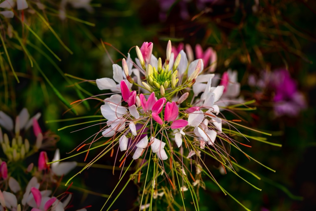
Around 2,500 plant species inhabit Uruguay, mainly in the grasslands covering 75% of the country. Native forests and Palmares cover about 4% of the country, while the remaining ecosystems are in ravines, mountains, and riverbanks.
Some notable features of Uruguay’s ecology are the world's largest group of ombú trees in the Laguna de Castillos. Additionally, consisting of hundreds of thousands of trees, the enormous grove of jelly palms in the department of Rocha is the world's southernmost group of palm trees.
However, cattle ranching, one of the pillars of the national economy, has severely altered the country’s ecosystems. Sheep and cattle ranches occupy nearly 60% of Uruguay’s land, increasing to over 80% when you include activities such as cattle breeding, dairy, and forage crops for feed.
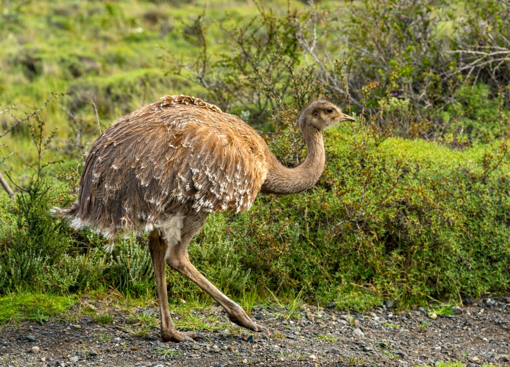
Many animals naturally inhabit Uruguay, including mammals, reptiles, birds, and fish. The Pampas support diverse wildlife, including capybaras and predators such as pumas and foxes. This ecosystem is also a haven for birdlife, with over 400 bird species recorded, including the iconic greater Rhea.
Due to the destruction of their natural habitat and poaching, several species have been extirpated from their range in Uruguay. These include the great anteater, jaguar, collared peccary, and swamp deer. The expansion of the cattle industry has been a significant part of habitat destruction.
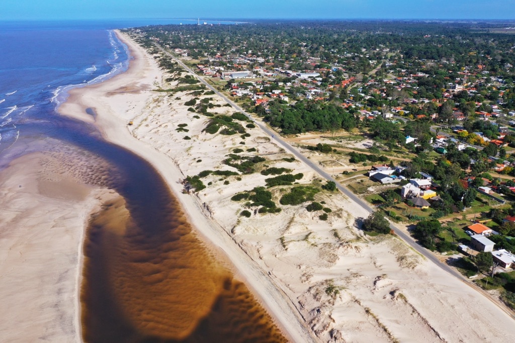
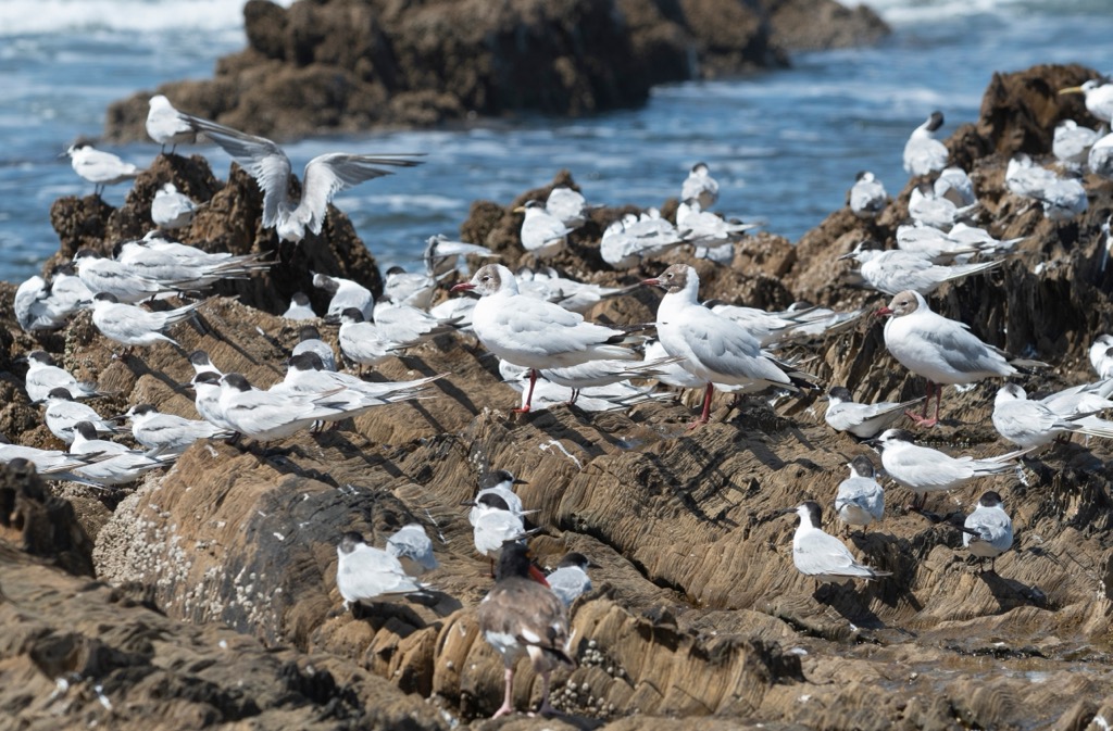
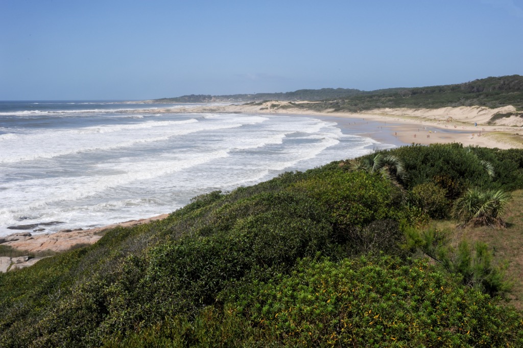
However, many wonderful and wild places in Uruguay still maintain a range of habitats and ecosystems, such as coastal plains, wetlands, grasslands, forests, and rivers. The Atlantic coastal zone stretches along its eastern border and is one of Uruguay’s most iconic regions. Sandy beaches, shifting dunes, and coastal lagoons characterize this region, and it is home to critical nesting grounds for various seabird species, such as terns, gulls, and penguins.
The country also has several critical wetland areas, such as those at Esteros del Ibera and Bañados del Este. The wetlands are productive ecosystems, teeming with life and providing habitat for many aquatic plants, fish, amphibians, and waterbirds.
Finally, while Uruguay's forests are not extensive, they are essential in balancing the region’s ecology. The native forests consist of Uruguayan pine, Ombú, and various hardwood trees. Toucans, woodpeckers, and parakeets flit among the trees, while tapirs and howler monkeys inhabit the forests.
Archaeological discoveries in the Department of Artigas suggest that the first humans arrived in Uruguayan territory as far back as 14,000 years ago. Around 5,000 years ago, the indigenous of Uruguay created what are now thousands of mounds that give archeologists insight into the practices of the time, which included having companion dogs and agricultural production of corn, beans, and squash.
Before Europeans even arrived en masse in Uruguay, the Treaty of Tordesillas in 1494 divided South America between the Spanish and Portuguese. As a result of the treaty, the Portuguese established settlements in present-day Brazil, just across the border from Uruguay.
At the time of the Spanish conquest, the most numerous indigenous groups in Uruguay were the Charrúa, Guaraní, Minuán, and Chaná peoples. With distinct languages, customs, and social structures, these people had a deep connection to their inhabited lands. At the time of the Spanish arrival, most of the indigenous relied on hunting, fishing, and gathering for sustenance and crafted intricate tools, weapons, and pottery.
The Charrúa and Minuán inhabited the hills and plateaus of the Cuchilla Grande. The mountains provided a natural defense against threats, fostering a sense of security for the indigenous communities. During colonization, the mountains swelled with retreats and strongholds for the indigenous resistance fighters.
The Charrúa people were known as a fierce warrior culture and fiercely resisted European colonization. Between the end of the seventeenth century and the beginning of the eighteenth century, the Charrúa became a major indigenous group in Uruguay, as they were displaced from their territory in modern Argentina.
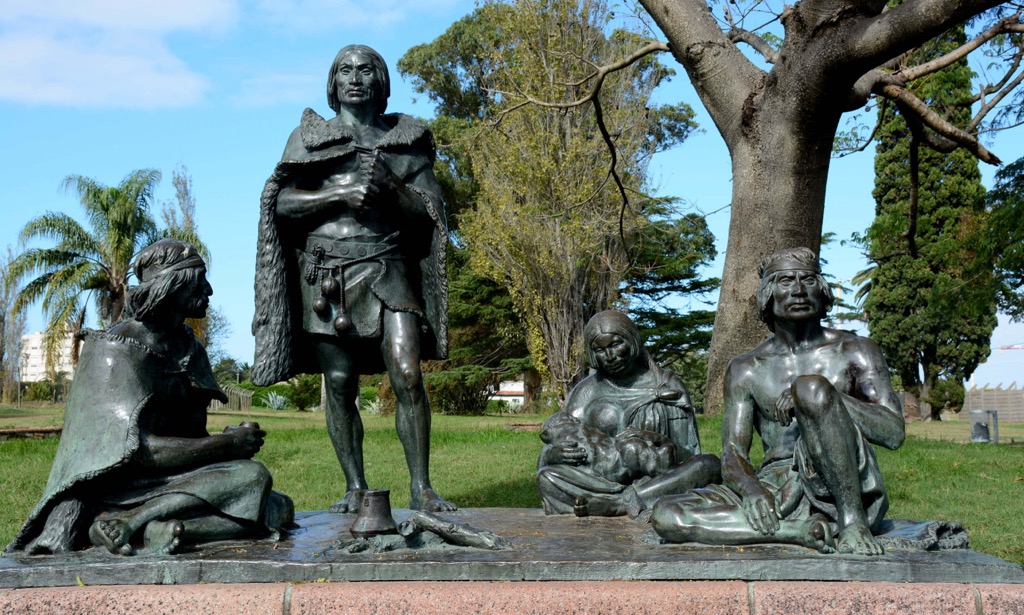
However, the Minuanes ethnic group was Uruguay's most populous and widespread indigenous group, even after the Charrúas’ displacement. Furthermore, around the same time the Charrúas were being displaced, the Guarani fled from their territories where Jesuit missions were expanding and came to inhabit parts of Uruguay.
From their contact with the Jesuits, the Guarani brought new technology and knowledge to the indigenous cultures, giving rise to the central Amerindian cultural heritage in the interior of Uruguay. The most influential cultural practices transmitted through the Guarani were the breeding of animals, gastronomy, and other agricultural customs.
While it was in the late fifteenth century when European explorers arrived in the region, Uruguay was colonized relatively late compared to the surrounding territories and countries. The first known Spanish explorers in Uruguay were Juan Díaz de Solís and Sebastian Cabot, who ventured along the Uruguayan coast. Their encounters with indigenous peoples marked the beginning of European influence in the area and the imminent tensions between the cultures.
The complex relations between the Europeans and the indigenous groups of Uruguay continued for decades. It wasn’t until 1726 that Spanish explorers established significant settlements, such as Montevideo, along the Uruguayan coast, ultimately extending Spanish control into the region as it became part of the Spanish Viceroyalty of the Río de la Plata.
As European settlers arrived in the seventeenth century, the Cuchilla Grande became a frontier area. Pioneers and homesteaders settled in the region, establishing ranches across the savannah. The region soon became known for its gauchos, rugged and skilled horse riders who herded cattle across the vast landscape.
The gauchos became an iconic symbol of Uruguayan culture, representing the spirit of independence, resilience, and rural life. Gauchos are also integral to Uruguay's national identity, as their traditions, customs, and attire are intertwined with the country's folklore and popular culture.
Ten national-level parks in Uruguay preserve unique ecosystems, wilderness areas, and culturally significant areas. The following are some popular parks to visit for hiking and wilderness recreation.
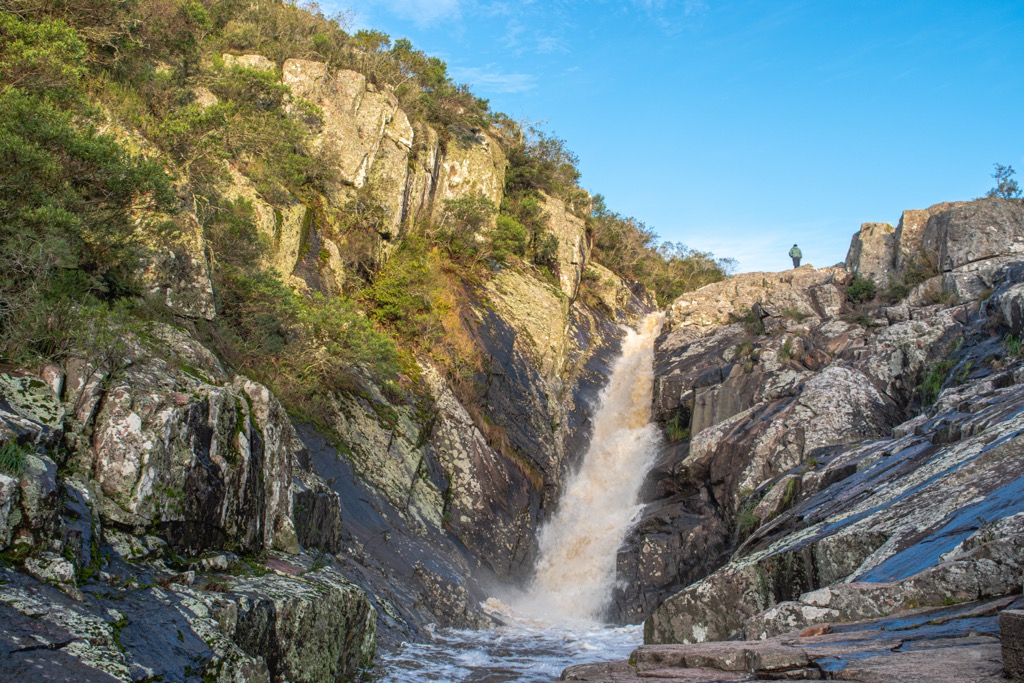
Quebrada de los Cuervos is in the eastern interior of Uruguay and is a hidden gem for outdoor enthusiasts seeking solitude and natural wonders. Deep gorges, cascading waterfalls, and lush vegetation make this an incredible place to visit and explore.
Quebrada de los Cuervos trail is a popular trail in the park. It is a moderate-level hike that meanders through the park's dramatic landscape taking hikers from viewpoint to viewpoint where you can observe the waterfalls and other natural features. The park is also home to many bird species; the trail offers hikers excellent opportunities for birdwatching. Rock climbing and rappelling are also popular activities in Quebrada de los Cuervos.
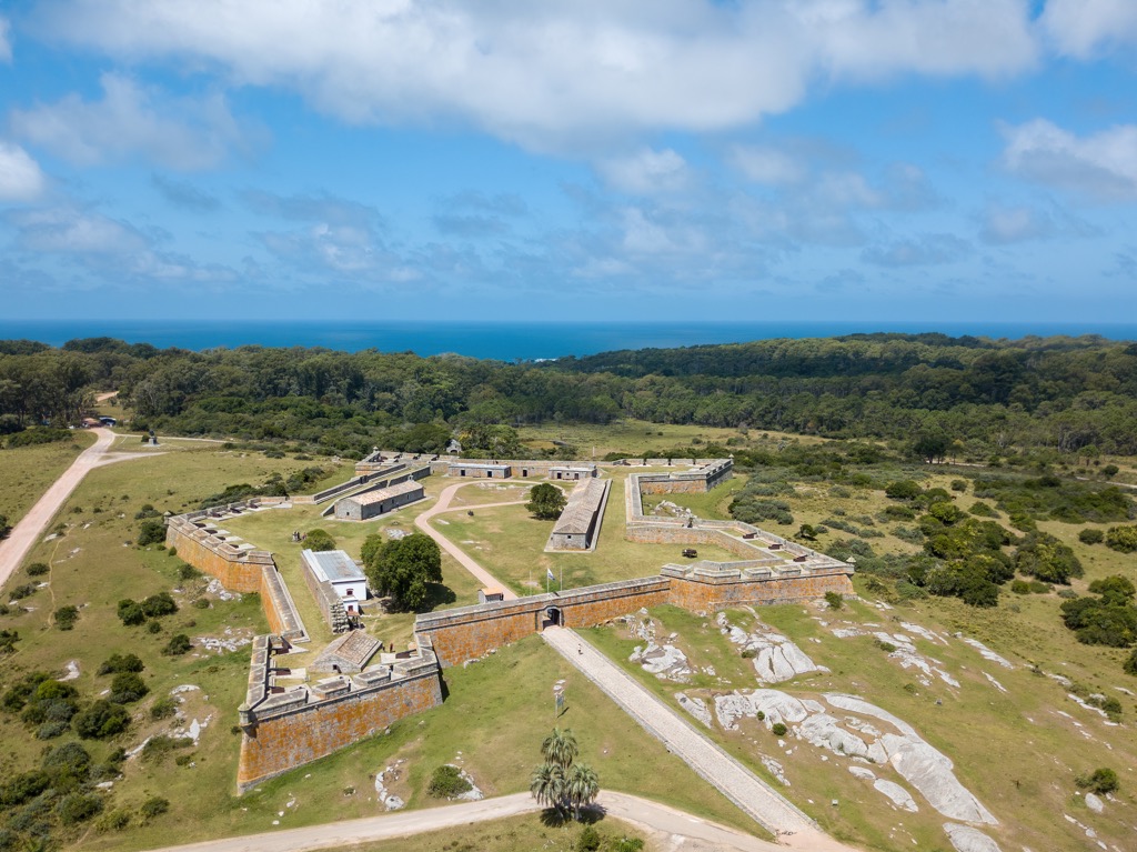
Nestled along the Atlantic coast, Santa Teresa National Park is a spectacular natural haven for outdoor enthusiasts. There is a range of hiking trails and outdoor activities to immerse yourself in the beauty of Uruguay’s coast.
Among the park’s trails, the Laguna Negra trail is an excellent way to explore the park as the route takes hikers on a scenic journey around a picturesque lagoon. The Cerro del Toro trail takes hikers to scenic viewpoints amongst the park's rolling hills, with panoramic vistas of the Atlantic.
Santa Teresa provides designated camping areas where you can pitch a tent under the starlit sky and immerse yourself in nature. While camping, visitors awake to abundant birdsong and the rustling of leaves.
Furthermore, while there are lovely hiking trails, the park’s proximity to the coast also allows visitors to enjoy time on the water. Swimming, kayaking, and windsurfing are great ways to beat the heat and enjoy time outdoors.
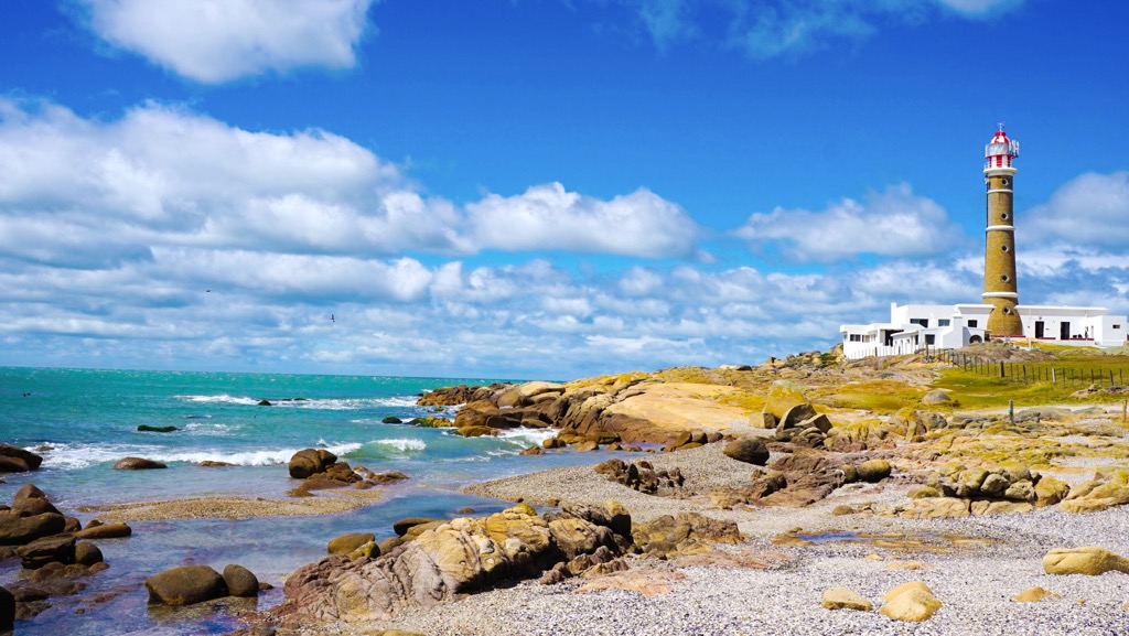
Known for its untouched beaches, shifting dunes, and diverse wildlife, Cabo Polonio National Park is a paradise for nature lovers and adventure seekers. The park is on Uruguay's eastern coast, and visitors can enjoy cool breezes and warm sun while exploring the park’s wilderness. It’s an easy hike to the historic lighthouse, one of the park's highlights.
Visitors will notice the tranquility of Cabo Polonio's surroundings as you hike along its coastal trails. The trail explores the dunes and offers ocean views. Keep an eye out for the park's resident sea lions, who bask on the rocks or playfully swim in the ocean.
Located in northeastern Uruguay, San Miguel National Park is an inviting place for nature enthusiasts. Uruguay’s stunning landscapes and natural beauty are on full display, and the park offers a range of outdoor activities for visitors to enjoy.
The El Palmar trail leads hikers through the park's palm groves and is a popular hike. The trail follows along the banks of the San Miguel River, where hikers can look out for the colorful birds that inhabit the park. Venturing deeper into the park will take visitors to serene lagoons and lush vegetation.
Boat tours along the San Miguel River drift along the gentle currents and offer the opportunity to admire the park's elusive wildlife along the riverbanks. Caimans, capybaras, and various bird species are the main species to search for.
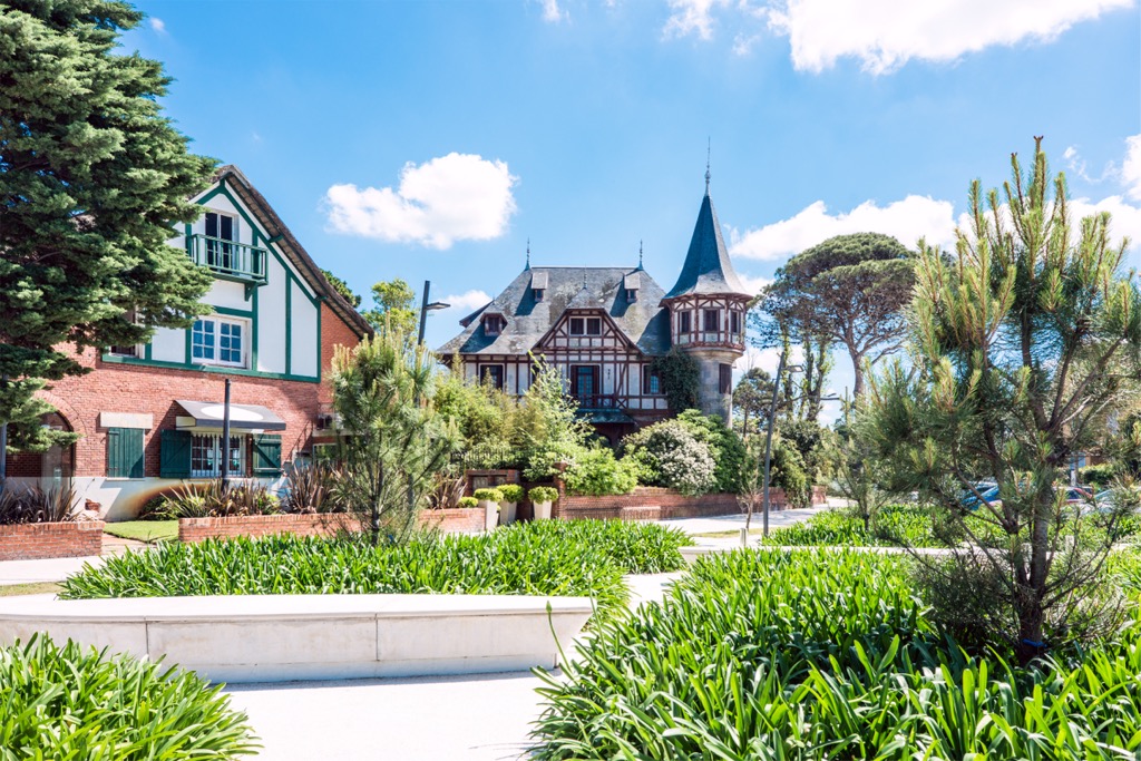
Uruguay is a country with a rich culture and immense natural beauty; the cities are where urban sophistication merges with natural beauty. As you visit Uruguay’s cities, you'll discover a juxtaposition of vibrant cultural activities and the serenity of the nearby wilderness areas.
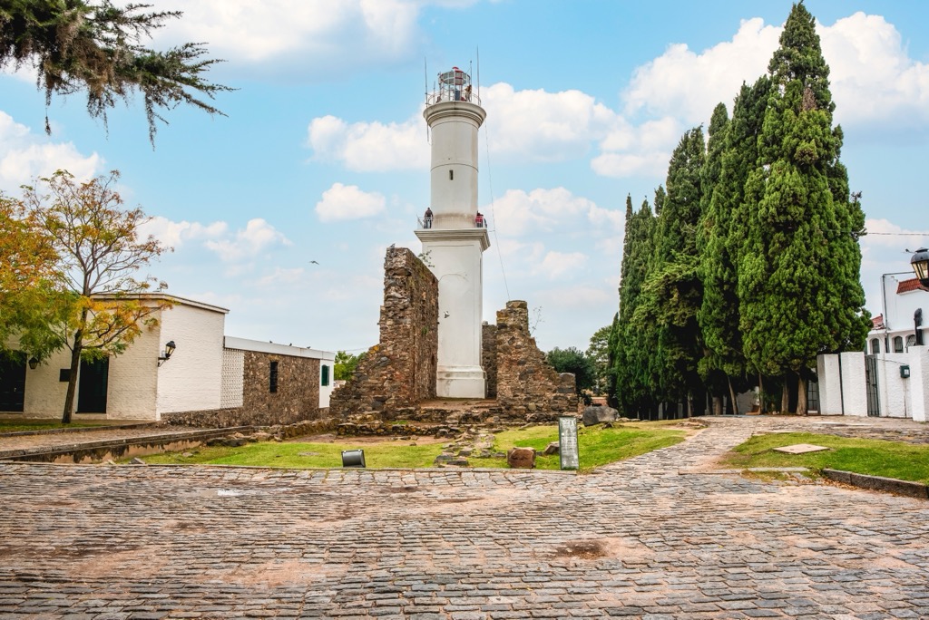
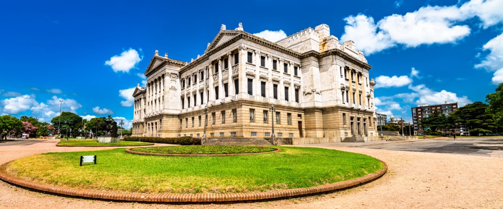
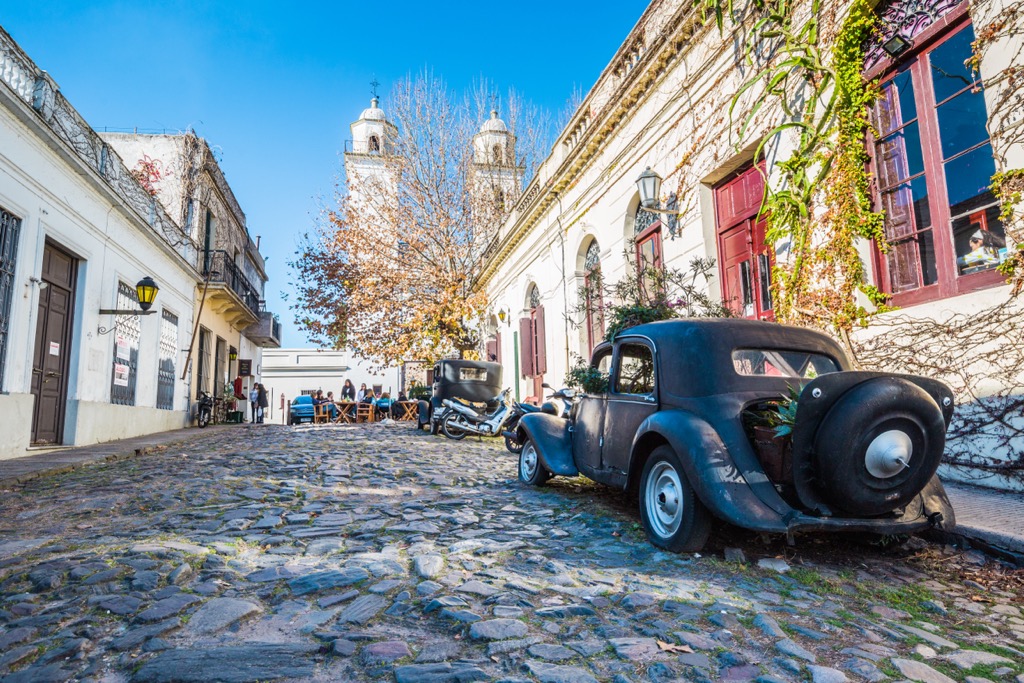
Montevideo, the capital and largest city of Uruguay, is a vibrant metropolis with culture and coastal charm. Established as a Spanish settlement in the early eighteenth century, Montevideo has a rich history and nearby natural beauty.
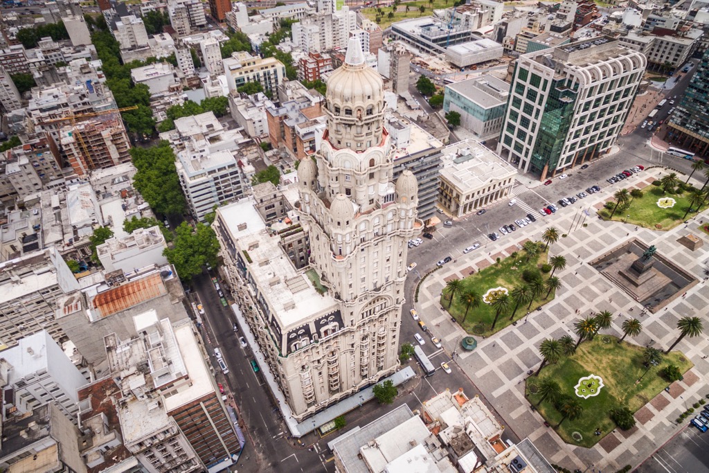
The historic Ciudad Vieja (Old Town), with its charming colonial architecture, museums, and art galleries, allows visitors to immerse themselves in the culture of Uruguay. In Montevideo, visitors can discover the works of renowned Uruguayan artists at the National Museum of Visual Arts or catch a live performance at the iconic Solís Theatre.
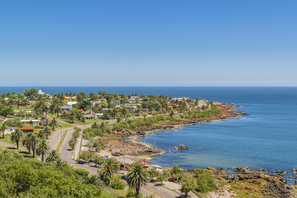
The city's proximity to the coast offers fantastic opportunities for outdoor enthusiasts and is part of the city's allure. Montevideo's beaches, such as Pocitos or Ramírez, invite visitors to explore the picturesque shorelines, bask in the sun, or swim in the southern Atlantic.
Surfing and kayaking are popular activities, and for a unique adventure, visitors can take a ferry to the nearby Isla de Lobos, home to the largest colony of sea lions in the Western Hemisphere. It’s an unforgettable experience witnessing such numbers of sea lions in their natural habitat.
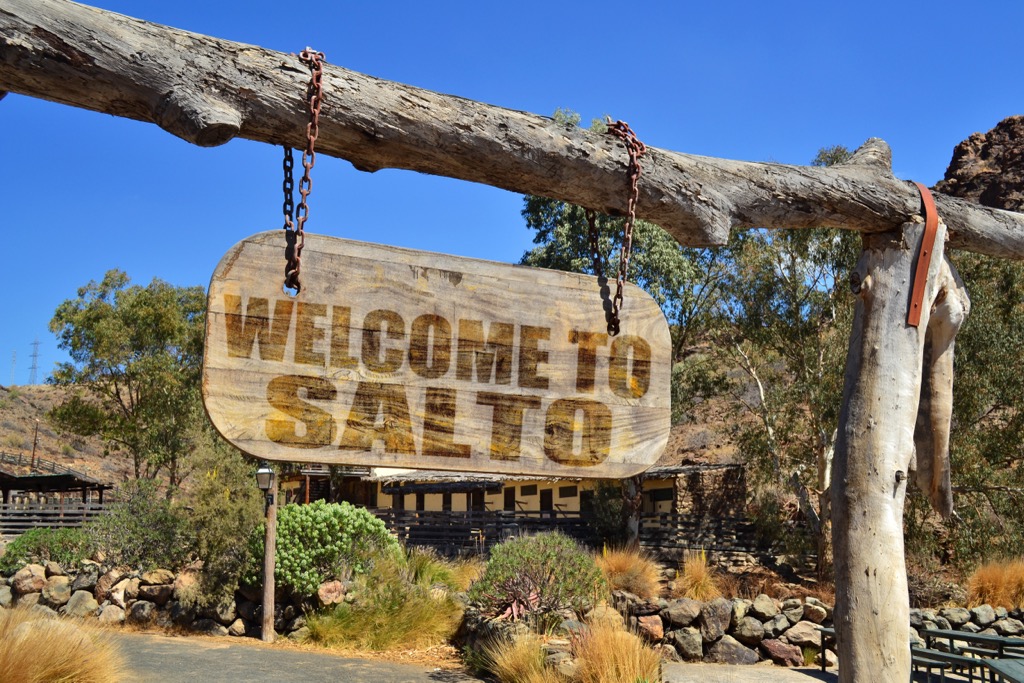
Salto, the country's second-largest city, is in Uruguay’s northwest region. Known for its thermal springs, Salto is a haven for relaxation and natural beauty. Visitors seeking rejuvenation and tranquility can spend a day indulging in the healing waters of the thermal resorts or unwind at one of the wellness spas.
Furthermore, the city offers many cultural activities. The Salto Art Museum, housed in a beautiful historic building, showcases Uruguayan culture. Visitors can also explore landmarks such as the impressive Salto Cathedral or delve into the past at the General Artigas Museum.
Outside Salto, the Uruguayan wilderness in Quebrada de los Cuervos offers opportunities to hike or cycle through lush landscapes and diverse ecosystems. The park features cascading waterfalls, serene forests, and breathtaking viewpoints.
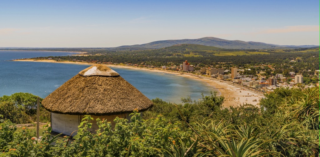
Situated along the Rio de la Plata coast, Ciudad de la Costa is the third-largest city in Uruguay. A haven for beach lovers, the city features idyllic waterfront promenades and sandy shores; the picturesque beaches of Shangrila or Solymar are popular destinations.
In addition to the beaches, visitors can visit the city’s museums, such as the Museum of the Sea. Visitors can learn about Uruguay's seafaring traditions and explore exhibits showcasing marine life, historical artifacts, and ship models.
Surrounding the city are serene landscapes, such as the Santa Lucía River, where you can go kayaking, fish, or enjoy a peaceful picnic by the water. The tranquil atmosphere and lush vegetation create an ideal outdoor setting.
Furthermore, the nearby Laguna del Sauce is a nature reserve encompassing a vast coastal lagoon. Hiking trails wind through wetlands and forests, providing opportunities to spot various birds and other wildlife. Some bird species to look for in the reserve are herons and flamingos, as well as the many colorful migratory birds enjoying the tranquility of the lagoon.