
Scan the QR code and open PeakVisor on your phone
Meru is home to 152 named mountains. The highest is Mount Kenya - Batian at 5,199 m.
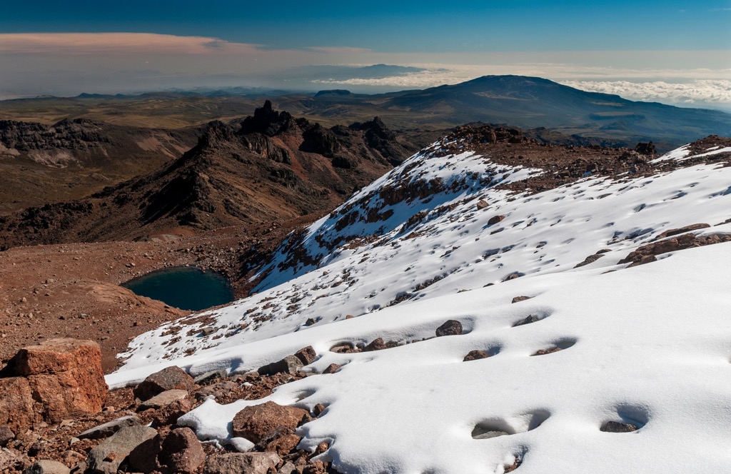
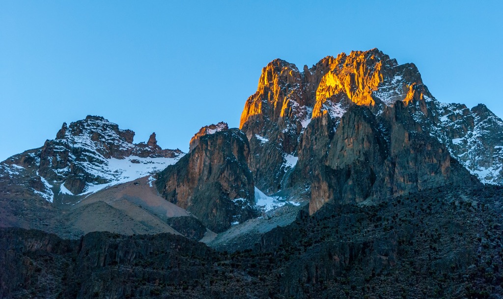
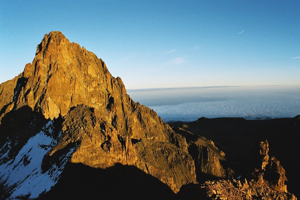
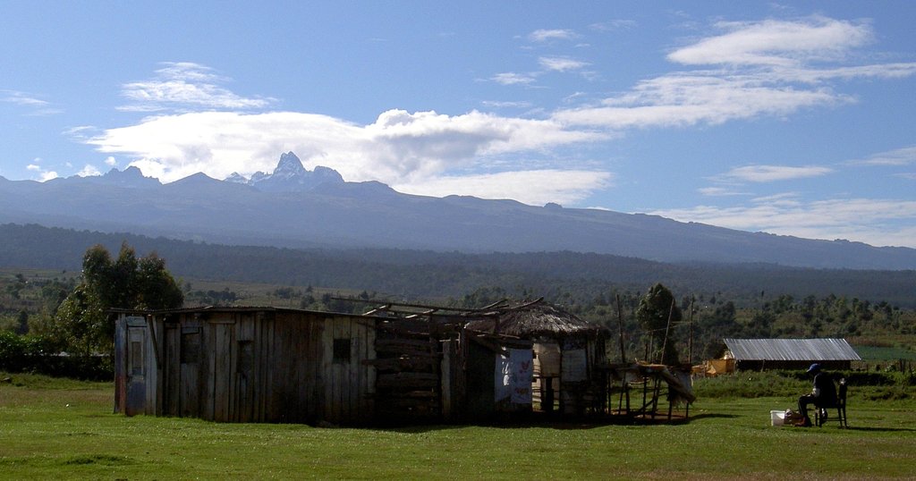
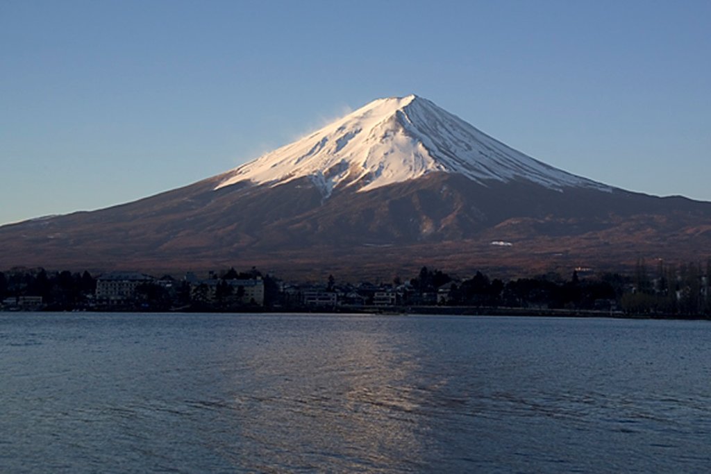
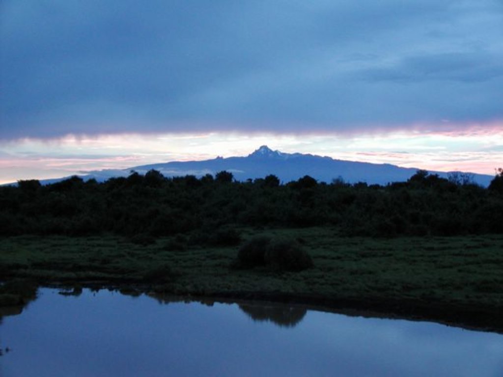
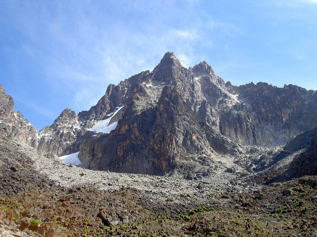
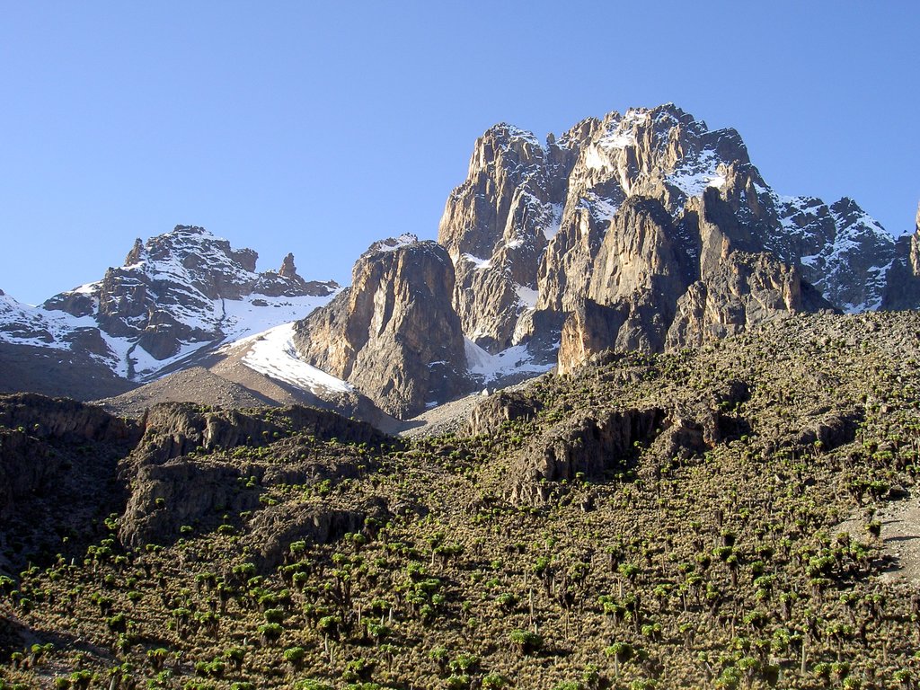
Meru is one of the 47 counties of Kenya, which are the country's largest regions, in Eastern Africa. The name of a county shouldn't be confused with Mount Meru in neighboring Tanzania, one of the most famous in Africa. In fact, Meru or Amîîrú is the name of the local indigenous population, who still inhabit the region today. The main feature of the county is another famous African mountain, Kenya—Batian (5,199 m / 17,057 ft)—the highest and the most prominent point of the Kenya volcano, which is the second-highest mountain in Africa after Kilimanjaro. The mountain is also a national park of the same name and a UNESCO World Heritage Site. In total there are 152 named mountains in Meru.

ultra
volcano
africa-4000ers
kenya-ultras
ultra
volcano
africa-4000ers
kenya-ultras
Yes. Meru has 152 named mountains. The highest is Mount Kenya - Batian at 5,199 m.
The highest mountain in Meru is Mount Kenya - Batian, at 5,199 m.
Meru has 152 named mountains.


