Scan the QR code and open PeakVisor on your phone
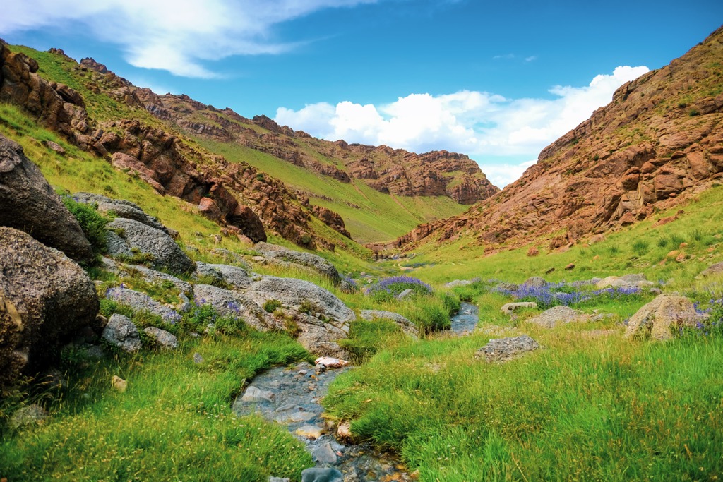
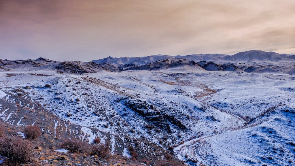
Govi-Altai is one of the 21 regions of Mongolia, called "aimags" in the country itself, which is located in East Asia on the border with China. The main natural features of the region are in its name—the Govi (the Gobi in English) Desert, the world's fifth largest by size, which occupies a significant part of the region and the country as a whole, and the Altai Mountains, one of the main ranges of Siberia, which stretching northeast into Russia and Kazakhstan. In total, there are 382 named mountains in Govi-Altai. Sutai Mountain (4,090 m / 13,418 ft) is the highest point. The most prominent mountain is Aj Bogd (3,802 m / ft), one of the three ultra-peaks in the region with a prominence of more than 1,500 m (4,921 ft).