Scan the QR code and open PeakVisor on your phone
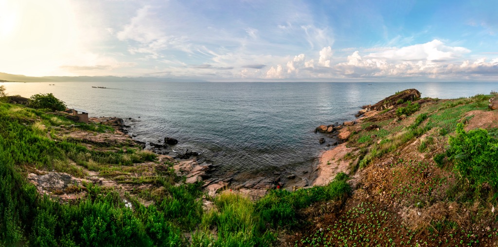
Burundi is a small country in Central Africa, surrounded by larger and more famous neighbors: Tanzania, the Democratic Republic of Congo, and others. The main feature of Burundi mountains is its highest and the most prominent peak, umusozi Heha (2,670 m / 8,759 ft), belonging to the Burundi Highlands mountain range, the main one in the country. But Burundi is best known for its lowest point, which is 772 m (2,533 ft) at the level of Lake Tanganyika, one of Africa's Great Lakes on par with Victoria and Lake Malawi. In total there are 521 named mountains in Burundi.