Scan the QR code and open PeakVisor on your phone
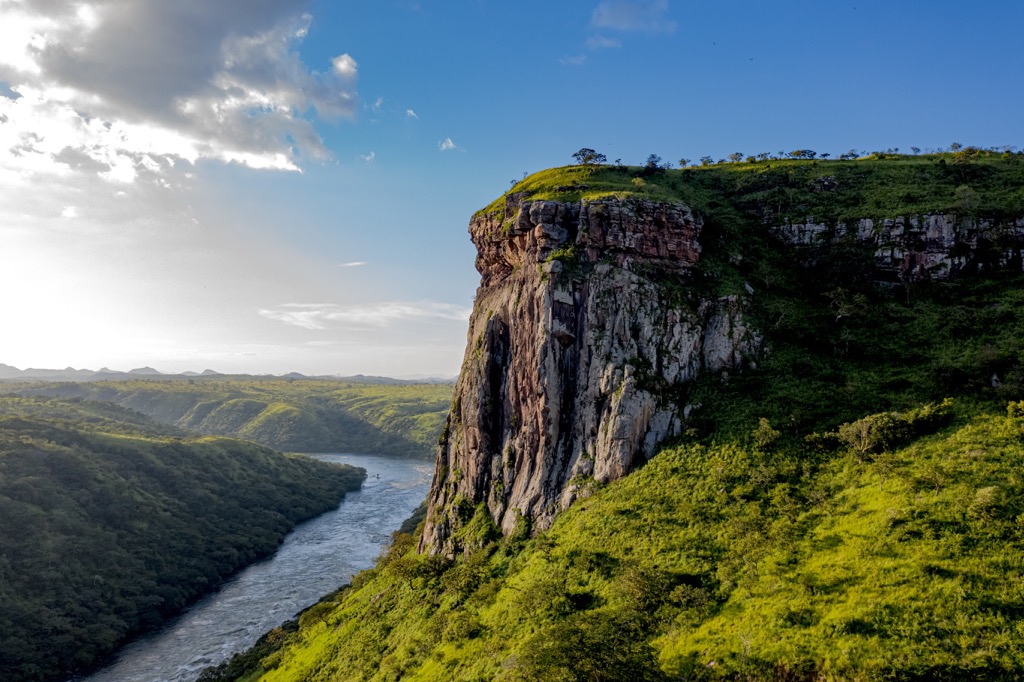
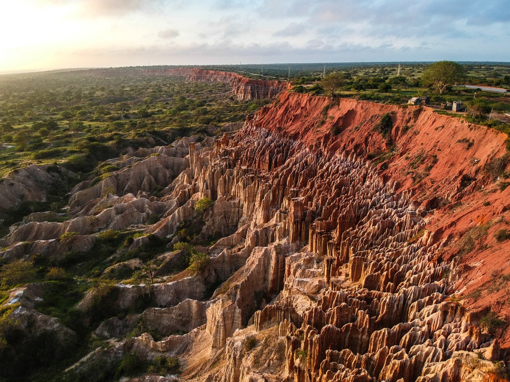
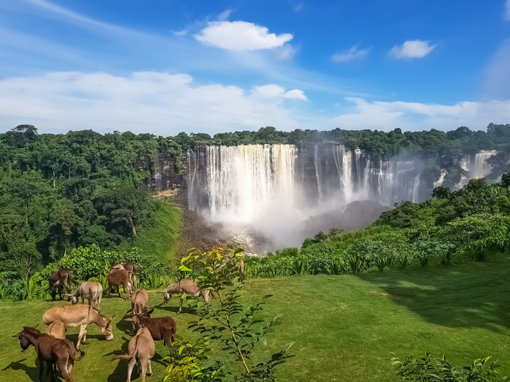
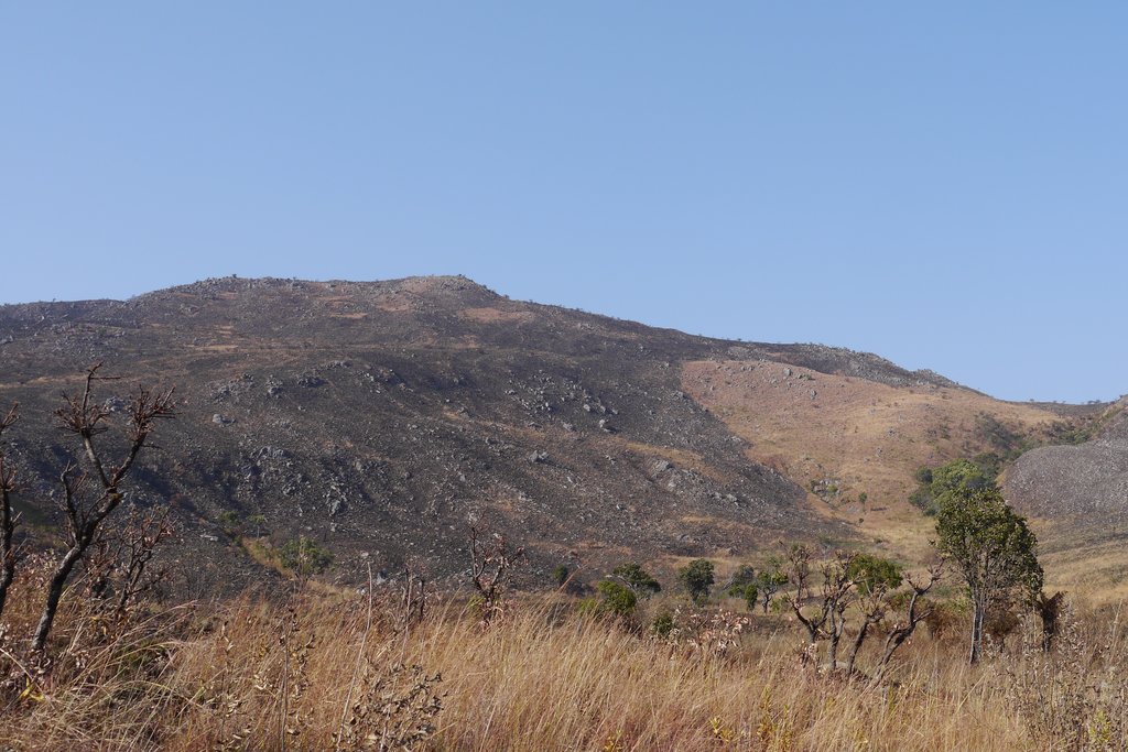
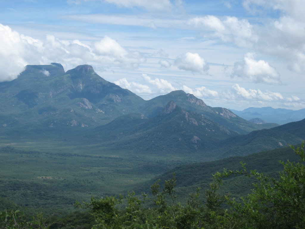
Angola is a large country on the west coast of Africa between the central and southern parts of the continent. The main feature of Angola mountains, which more or less stretch as one big and long range along its coast, is its highest and the most prominent ultra-peak, Morro de Môco (2,620 m / 8,595 ft). It is one of the country's main natural attractions along with Tundavala Slit, Maiombe Forest, Caves of Nzenzo, Kalandula and Chiumbe River falls. In total there are 3772 named mountains in Angola.