
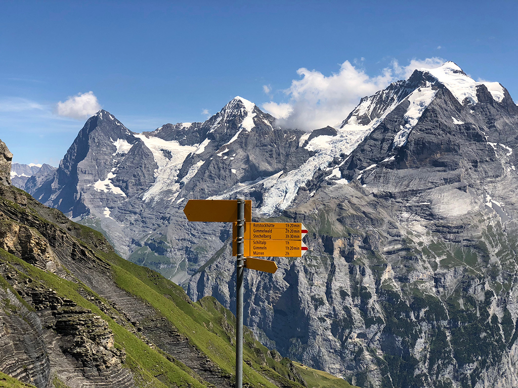
If the most popular question in the mountains is “What’s the name of that peak?” then the second most popular question is “How to get there and how long is it to the final destination?”. Here at PeakVisor we carefully listen to all the questions outdoor enthusiasts ask in the mountains in search for the inspiration.
These navigation and hiking route planning questions have kept us very busy in the labs. But today we are proud to present new hiking route planning feature in PeakVisor 3D maps!
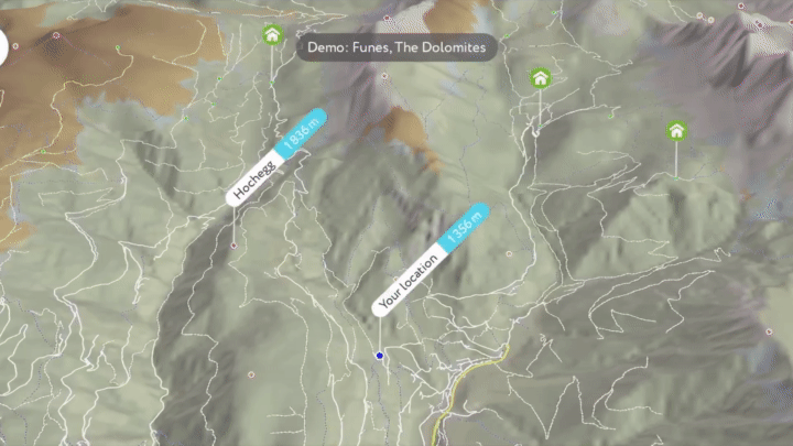
Whenever you happen to be in a new place surrounded by gorgeous mountains it is interesting to know what mountains are around you and what the most spectacular hikes are. PeakVisor 3D map comes especially handy in this case. You can hover above the area and see all the hiking trails and walking pathways.
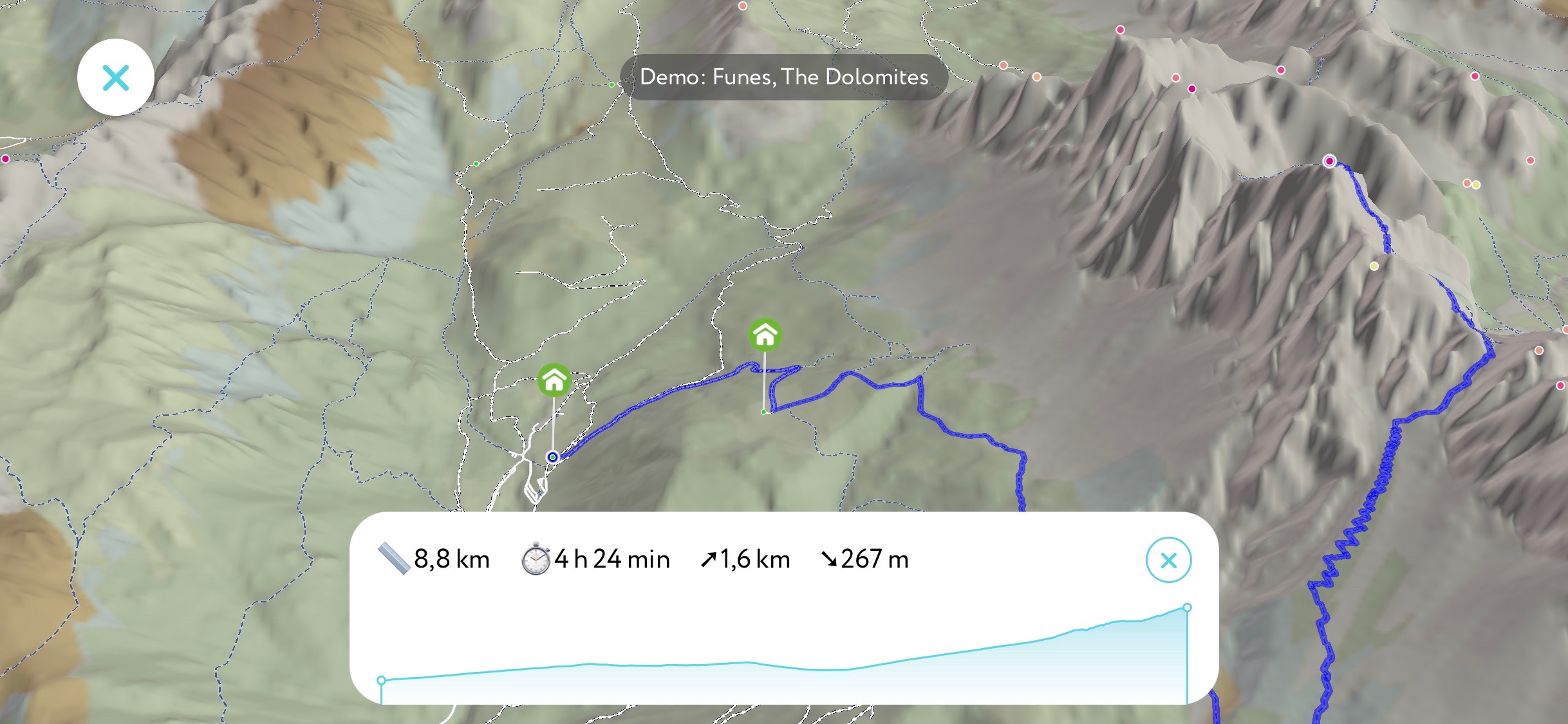
Now, with the latest update, you could plan routes between locations. By default, the app calculates a trail from your current location, so you just need to choose the place where you want to go. Tap on any peak, mountain hut, viewpoint, and choose the “Route to” option. You can also route to a totally random location, just long tap on any place in the 3D map and it will put a marker there!
Here is a hiking zig zag trail to the summit of Sass Rigais in the Dolomites. The trail is less than a mile of elevation gain in 4 hours and a half in duration. It should be spectacular!
One more thing, you can plan your hike anywhere in the world because you can teleport there with the PeakVisor teleport feature. It brings you to any mountain summit, viewpoint, mountain hut, or just totally custom location, even high above the ground! Learn more about the newest PeakVisor Teleport feature from a dedicated article.
Please, try all these new features and let us know what you think! Say “Hi” at peakvisor@routes.tips!