We use necessary cookies to make the website work, also they are used to understand site usage and make improvements.
Accept
Reject
PeakVisor
Explorer
Explorer
Ski Map
Hike Map
3D Map
Get PeakVisor App
Sign In
Search by GPS coordinates
Teleport
Latitude
N
S
°
'
''
Longitude
E
W
°
'
''
Units of Length
m/km
ft/mi
Explorer
Ski Map
Hike Map
3D Map
Search by GPS coordinates
Settings
Sign In
Contact us
GPS coordinates
Settings
Share
×
Copy Link
Copy Coordinates
Facebook
Twitter
Email
Scan the QR code and open PeakVisor on your phone
❤ Wishlist
×
Choose
Delete
Valerie Pryor
Mountain
13
Mountain Hut
0
Mountain pass
0
Lake
0
Ultra
0
Highest check-in
Peak:
Garnet Peak
Elevation:
1 798 m
Most prominent check-in
Peak:
Cowles Mountain
Prominence:
306 m
13 check-ins
By Date
By Date
By Elevation
By Prominence
Vail Peak
1650837122
545 m
(prom:
45 m
)
Las Trampas Peak
1650835717
557 m
(prom:
141 m
)
Mount Tamalpais East Peak
1645814841
784 m
(prom:
104 m
)
Black Mountain
1643404774
475 m
(prom:
279 m
)
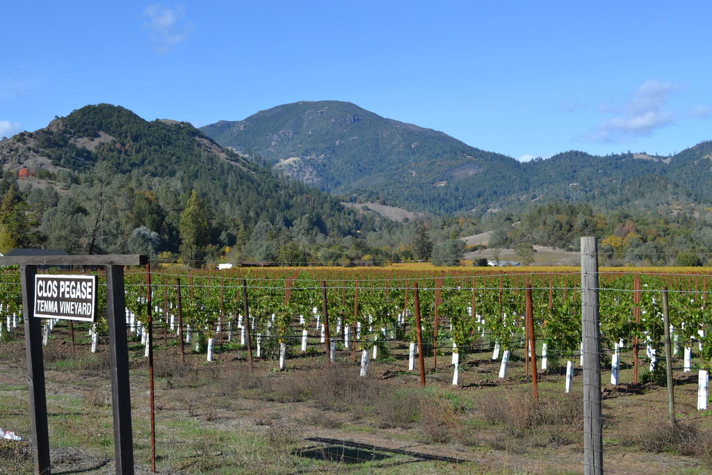
Garnet Peak
1633380070
1 798 m
(prom:
142 m
)
Redwood Peak
1618183913
493 m
(prom:
118 m
)
Pyles Peak
1615064971
420 m
(prom:
60 m
)
Cowles Mountain
1615062803
485 m
(prom:
306 m
)
Monument Peak
1614544013
790 m
(prom:
81 m
)
Kwaay Paay Peak
1613342930
364 m
(prom:
156 m
)
North Fortuna Mountain
1613337474
393 m
(prom:
143 m
)
Donlan Point
1612734926
345 m
(prom:
29 m
)
South Fortuna
1610829136
333 m
(prom:
61 m
)
San Francisco Bay Area Nifty Ninety
All summits:
6 out of 83
California Coastal Peak List
All summits:
3 out of 276
Sierra Club Hundred Peaks Section
All summits:
1 out of 246
Everest by the Bay San Francisco Area Peaks
All summits:
1 out of 9
USA
Independent peaks:
1 out of 7529
California
Independent peaks:
1 out of 838
Northwest U.S. Coast Ranges
Mission Trails Regional Park
All summits:
5 out of 5
Las Trampas Regional Wilderness
All summits:
2 out of 5
Cleveland National Forest
Mount Tamalpais Watershed
All summits:
1 out of 21
PeakVisor for iOS and Android
Be a superhero of outdoor navigation with state-of-the-art 3D maps and mountain identification in the palm of your hand!
Scan the QR code to download PeakVisor mobile app