We use necessary cookies to make the website work, also they are used to understand site usage and make improvements.
Accept
Reject
PeakVisor
Explorer
Explorer
Ski Map
Hike Map
3D Map
Get PeakVisor App
Sign In
Search by GPS coordinates
Teleport
Latitude
N
S
°
'
''
Longitude
E
W
°
'
''
Units of Length
m/km
ft/mi
Explorer
Ski Map
Hike Map
3D Map
Search by GPS coordinates
Settings
Sign In
Contact us
GPS coordinates
Settings
Share
×
Copy Link
Copy Coordinates
Facebook
Twitter
Email
Scan the QR code and open PeakVisor on your phone
❤ Wishlist
×
Choose
Delete
susan wray
Mountain
3
Mountain Hut
0
Mountain pass
2
Lake
0
Ultra
0
Highest check-in
Peak:
The Crags
Elevation:
3 285 m
Most prominent check-in
Peak:
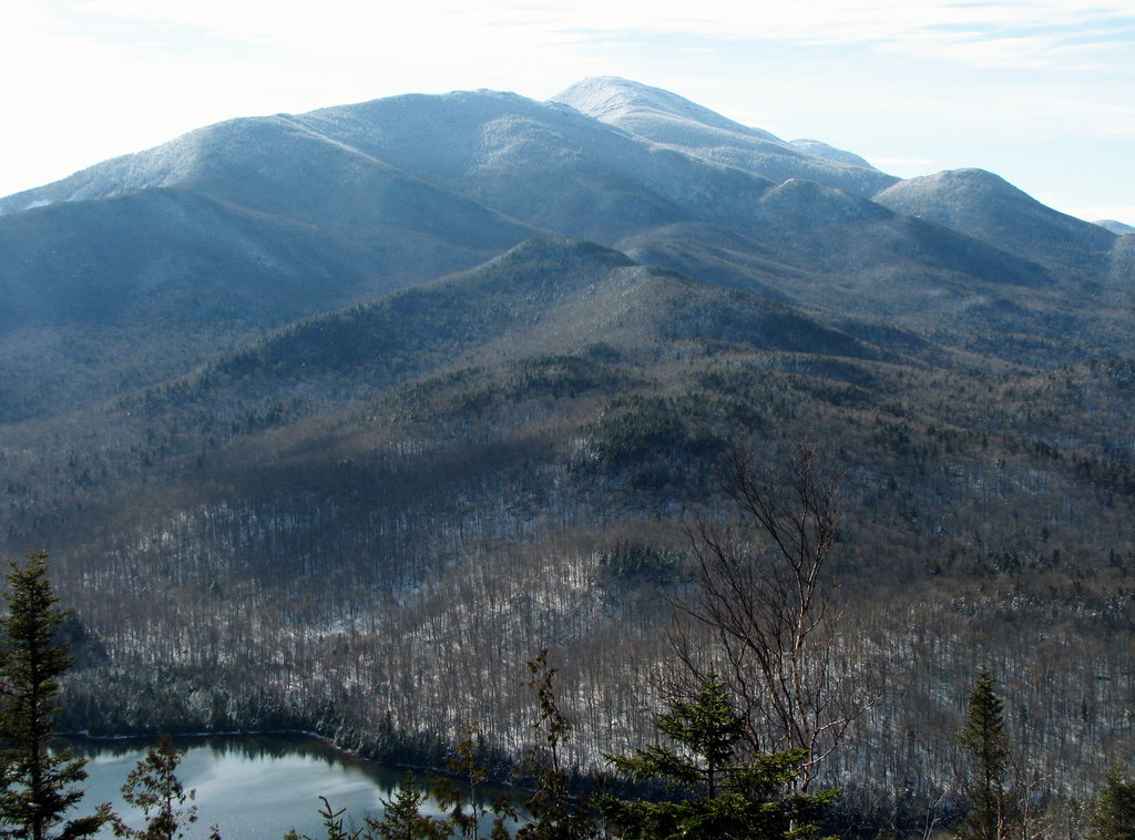
Ampersand Mountain
Prominence:
419 m
5 check-ins
By Date
By Date
By Elevation
By Prominence
Ampersand Mountain
1628696013
1 022 m
(prom:
419 m
)
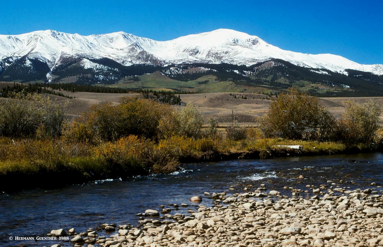
Guanella Pass
1626631676
3 557 m
Cottonwood Pass
1626558217
3 696 m
Raspberry Mountain
1625075078
3 232 m
(prom:
159 m
)
The Crags
1625005050
3 285 m
(prom:
51 m
)
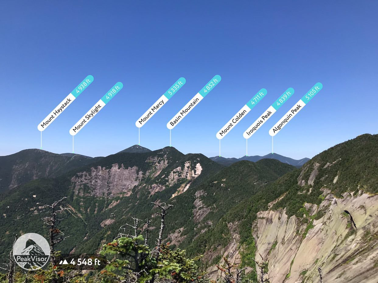
Adirondack 29er Challenge
All summits:
1 out of 38
Saranac Lake 6
All summits:
1 out of 6
USA
Independent peaks:
1 out of 7529
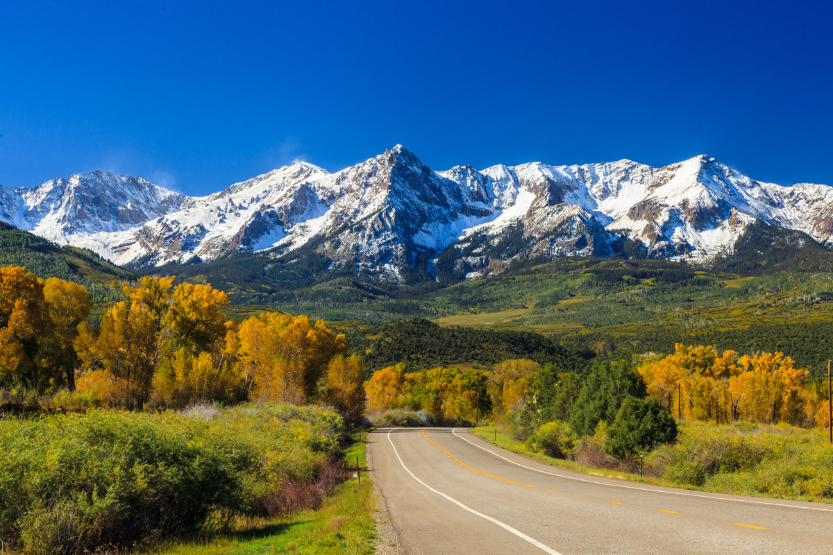
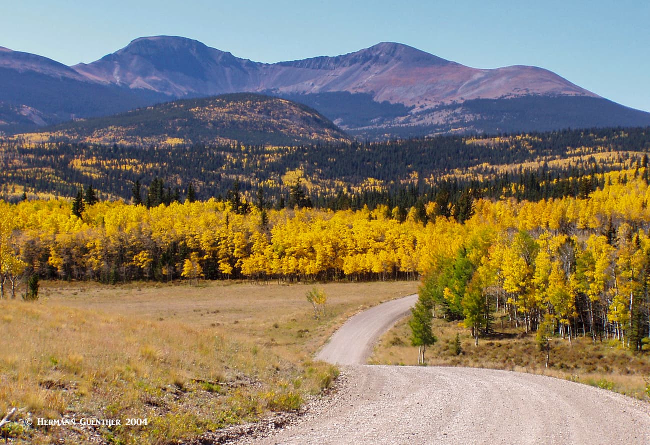
Colorado
New York
Independent peaks:
1 out of 119
Southern Rocky Mountains
Adirondack Mountains
Independent peaks:
1 out of 91
Pike National Forest
San Isabel National Forest
Adirondack Park
Independent peaks:
1 out of 91
High Peaks Wilderness
Independent peaks:
1 out of 18
PeakVisor for iOS and Android
Be a superhero of outdoor navigation with state-of-the-art 3D maps and mountain identification in the palm of your hand!
Scan the QR code to download PeakVisor mobile app