We use necessary cookies to make the website work, also they are used to understand site usage and make improvements.
Accept
Reject
PeakVisor
Explorer
Explorer
Ski Map
Hike Map
3D Map
Get PeakVisor App
Sign In
Search by GPS coordinates
Teleport
Latitude
N
S
°
'
''
Longitude
E
W
°
'
''
Units of Length
m/km
ft/mi
Explorer
Ski Map
Hike Map
3D Map
Search by GPS coordinates
Settings
Sign In
Contact us
GPS coordinates
Settings
Share
×
Copy Link
Copy Coordinates
Facebook
Twitter
Email
Scan the QR code and open PeakVisor on your phone
❤ Wishlist
×
Choose
Delete
Olivier Stankiewicz
Mountain
6
Mountain Hut
0
Mountain pass
0
Lake
0
Ultra
0
Highest check-in
Peak:
Stolembeerg
Elevation:
3 202 m
Most prominent check-in
Peak:
Mont Vial
Prominence:
671 m
6 check-ins
By Date
By Date
By Elevation
By Prominence
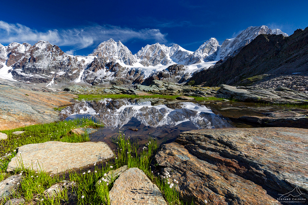
Fiescherhorli
1691583410
2 893 m
(prom:
53 m
)
Rochers de Naye
1689084751
2 045 m
(prom:
585 m
)
Stolembeerg
1659269908
3 202 m
(prom:
92 m
)
Croix de Provence
1625038754
946 m
(prom:
10 m
)
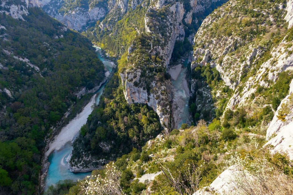
Le Brec d'Utelle
1614609525
1 604 m
(prom:
256 m
)
Mont Vial
1613565953
1 550 m
(prom:
671 m
)
France
Independent peaks:
1 out of 1016
Italy
Switzerland
Independent peaks:
1 out of 461
Provence-Alpes-Côte d'Azur
Independent peaks:
1 out of 255
Piedmont
Aosta Valley
Vaud
Independent peaks:
1 out of 23
Valais/Wallis
Alps
Independent peaks:
2 out of 2450
Parc naturel régional des Préalpes d'Azur
Independent peaks:
1 out of 12
Gruyère Pays-d'Enhaut Regional Nature Park
Independent peaks:
1 out of 14
PeakVisor for iOS and Android
Be a superhero of outdoor navigation with state-of-the-art 3D maps and mountain identification in the palm of your hand!
Scan the QR code to download PeakVisor mobile app