We use necessary cookies to make the website work, also they are used to understand site usage and make improvements.
Accept
Reject
PeakVisor
Explorer
Explorer
Ski Map
Hike Map
3D Map
Get PeakVisor App
Sign In
Search by GPS coordinates
Teleport
Latitude
N
S
°
'
''
Longitude
E
W
°
'
''
Units of Length
m/km
ft/mi
Explorer
Ski Map
Hike Map
3D Map
Search by GPS coordinates
Settings
Sign In
Contact us
GPS coordinates
Settings
Share
×
Copy Link
Copy Coordinates
Facebook
Twitter
Email
Scan the QR code and open PeakVisor on your phone
❤ Wishlist
×
Choose
Delete
Justin Swanson
Mountain
26
Mountain Hut
0
Mountain pass
2
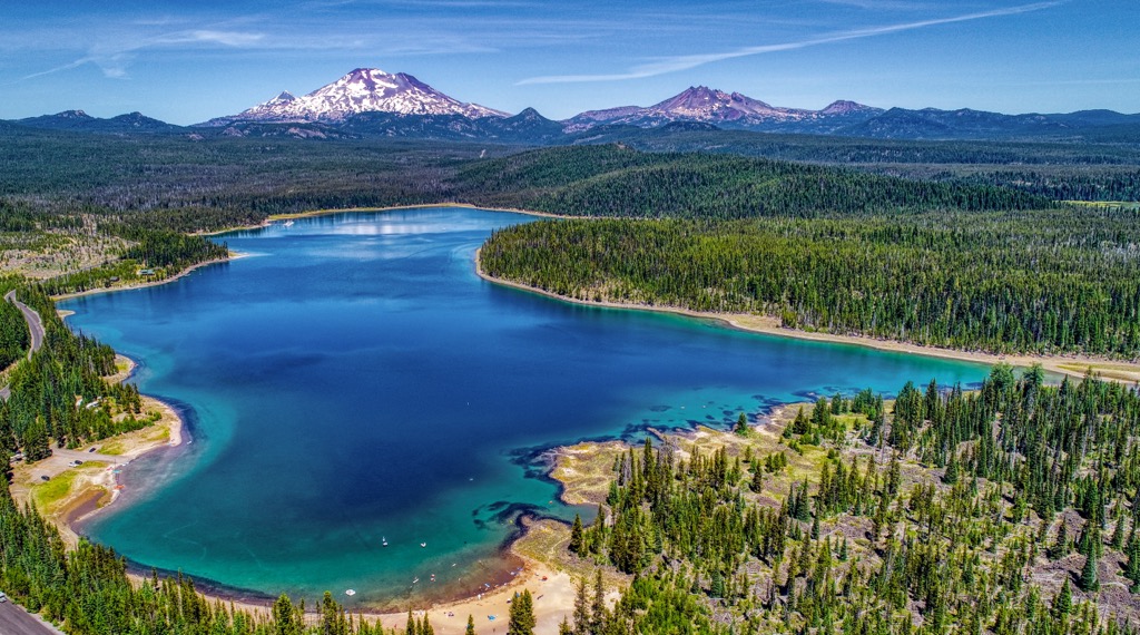
Lake
7
Ultra
0
Highest check-in
Peak:
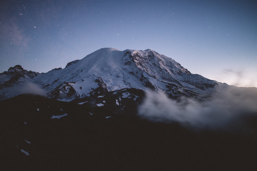
Monitor Ridge
Elevation:
2 527 m
Most prominent check-in
Peak:
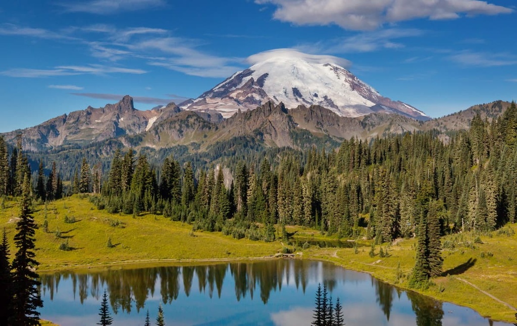
Augspurger Mountain
Prominence:
464 m
34 check-ins
By Date
By Date
By Elevation
By Prominence
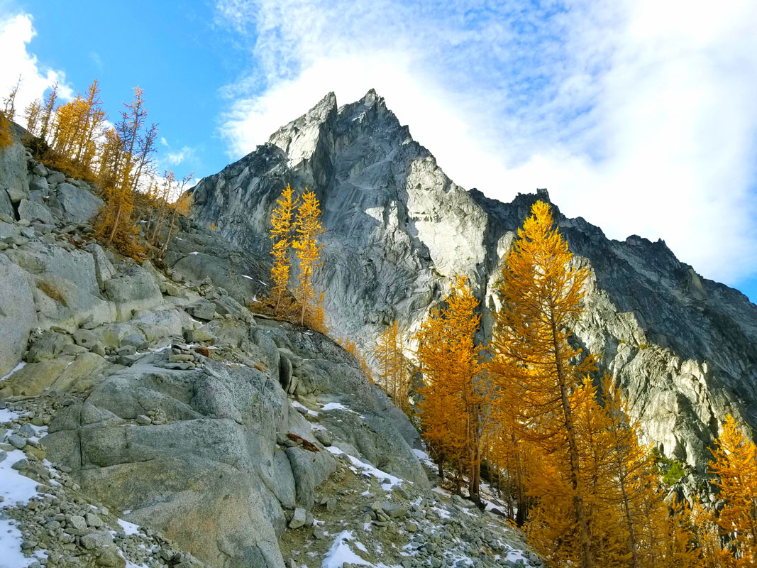
Monitor Ridge
1687542983
2 527 m
(prom:
16 m
)
Indian Point
1686503420
756 m
(prom:
9 m
)
Cook Hill
1684866604
919 m
(prom:
77 m
)
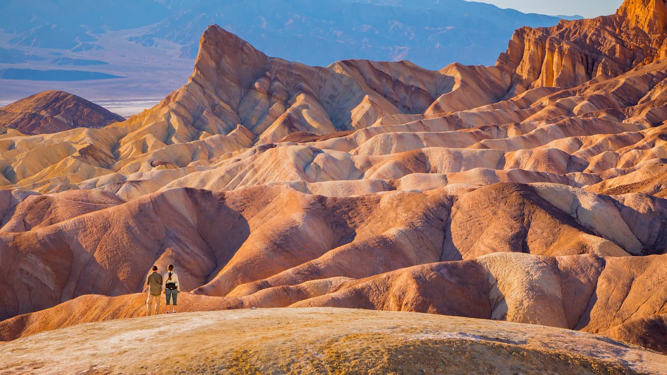
Badwater Basin
1667583393
-85 m
Phlox Point
1665939484
901 m
(prom:
78 m
)
Hamilton Saddle
1665334082
641 m
Hamilton Mountain
1665332610
743 m
(prom:
117 m
)
Independence Rock
1662847386
869 m
(prom:
16 m
)
Old Snowy Mountain
1662230324
2 410 m
(prom:
104 m
)
Missouri Ridge
1660166512
330 m
(prom:
31 m
)
Scouter Mountain
1660068497
286 m
(prom:
124 m
)
Dog Mountain
1659978305
899 m
(prom:
355 m
)
Crown Point
1659890392
228 m
(prom:
7 m
)
Sherrard Point
1659885834
1 236 m
(prom:
303 m
)
Larch Mountain
1659884879
1 210 m
(prom:
9 m
)
Mount Scott
1657317741
334 m
(prom:
228 m
)
Flag Mountain
1656701077
771 m
(prom:
89 m
)
Longs Pass
1656078336
1 891 m
Archer Mountain
1655572744
616 m
(prom:
93 m
)
Beacon Rock
1654353476
262 m
(prom:
186 m
)
City of Portland Reservoir Number 6
1653866217
89 m
City of Portland Reservoir Number 5
1653866022
124 m
City of Portland Reservoir Number 1
1653865778
124 m
Mount Tabor
1653865415
196 m
(prom:
120 m
)
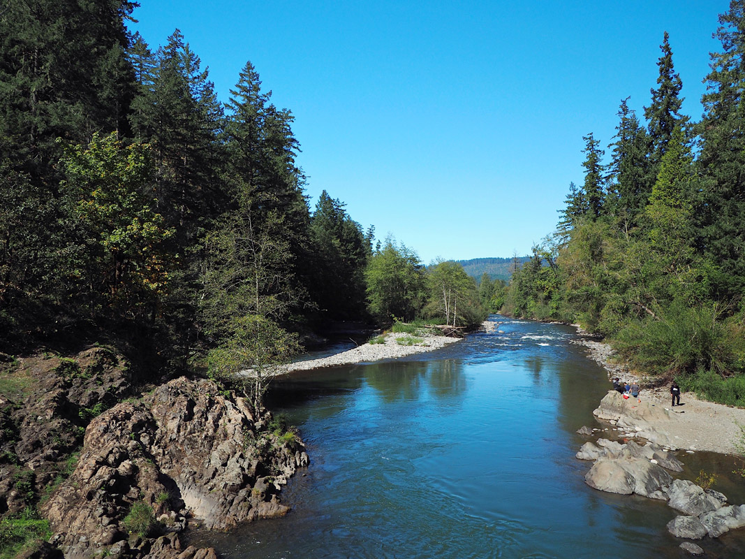
Gillette Lake
1653251144
88 m
Table Mountain
1653241347
1 042 m
(prom:
129 m
)
Devils Rest
1652632501
741 m
(prom:
70 m
)
Angel's Rest
1652624993
487 m
(prom:
10 m
)
Spangler Hill
1652302003
201 m
(prom:
13 m
)
Lake Leona
1652297058
33 m
Mount Talbert
1652216395
227 m
(prom:
126 m
)
Blue Lake
1652131672
5 m
Augspurger Mountain
1652033552
1 119 m
(prom:
464 m
)
Rocky Butte
1645659660
187 m
(prom:
119 m
)
Smoot's "Climbing Washington's Mountains" 100 Peaks
All summits:
1 out of 100
USA
Independent peaks:
2 out of 7529
Oregon
Washington
Independent peaks:
2 out of 703
California
Cascade Range
Independent peaks:
2 out of 787
Great Basin Ranges
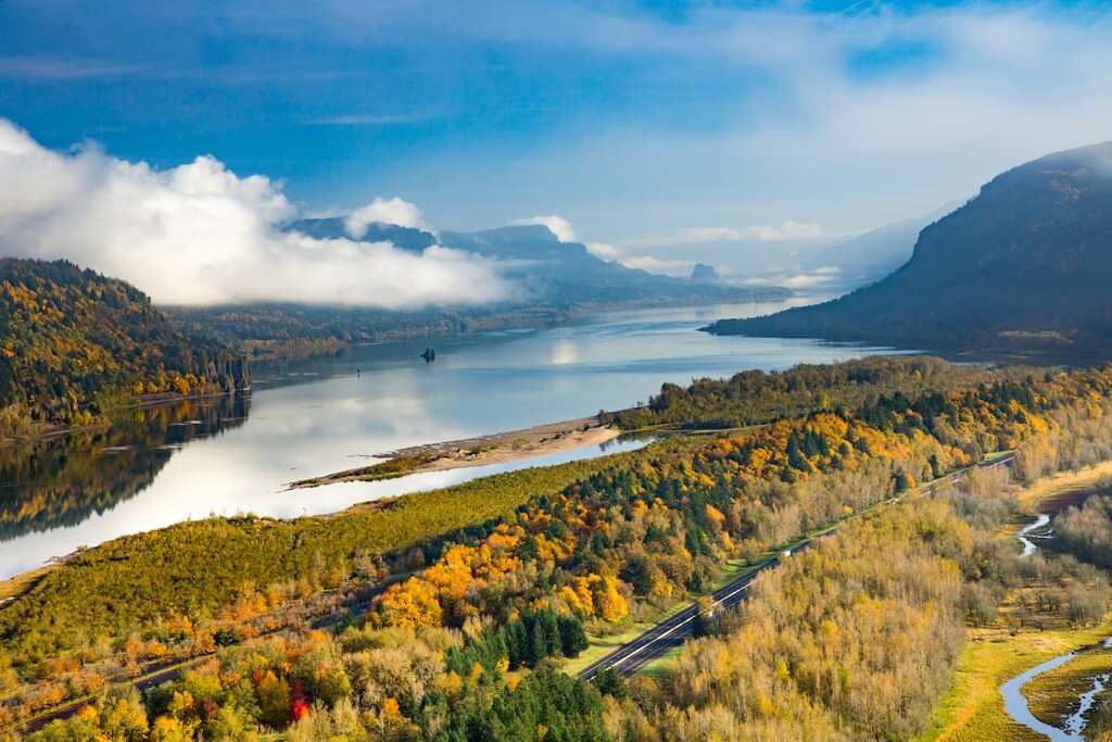
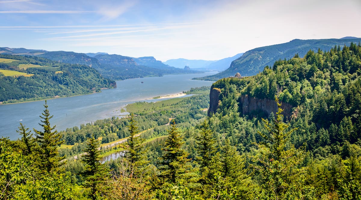
Columbia River Gorge National Scenic Area
All summits:
15 out of 66
Beacon Rock State Park
All summits:
3 out of 5
Gifford Pinchot National Forest
Independent peaks:
2 out of 48
Mount Hood National Forest
Okanogan-Wenatchee National Forest
Goat Rocks Wilderness
All summits:
1 out of 29
Willamette National Forest
Death Valley National Park
Mark O. Hatfield Wilderness
All summits:
1 out of 20
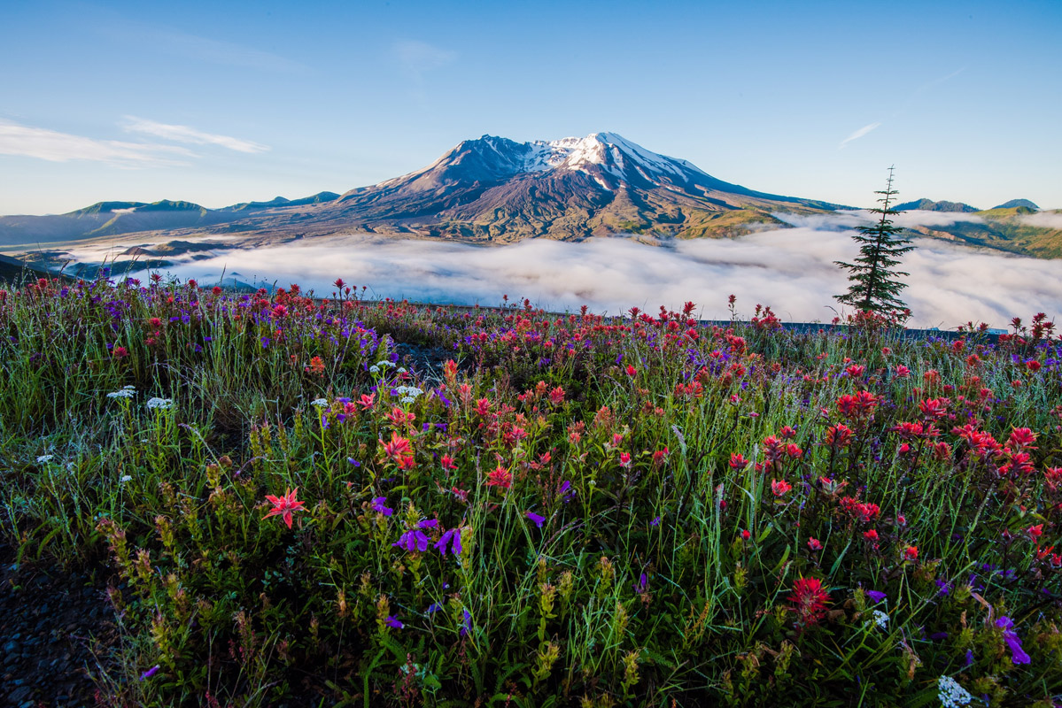
Mount Saint Helens National Volcanic Monument
PeakVisor for iOS and Android
Be a superhero of outdoor navigation with state-of-the-art 3D maps and mountain identification in the palm of your hand!
Scan the QR code to download PeakVisor mobile app