We use necessary cookies to make the website work, also they are used to understand site usage and make improvements.
Accept
Reject
PeakVisor
Explorer
Explorer
Ski Map
Hike Map
3D Map
Get PeakVisor App
Sign In
Search by GPS coordinates
Teleport
Latitude
N
S
°
'
''
Longitude
E
W
°
'
''
Units of Length
m/km
ft/mi
Explorer
Ski Map
Hike Map
3D Map
Search by GPS coordinates
Settings
Sign In
Contact us
GPS coordinates
Settings
Share
×
Copy Link
Copy Coordinates
Facebook
Twitter
Email
Scan the QR code and open PeakVisor on your phone
❤ Wishlist
×
Choose
Delete
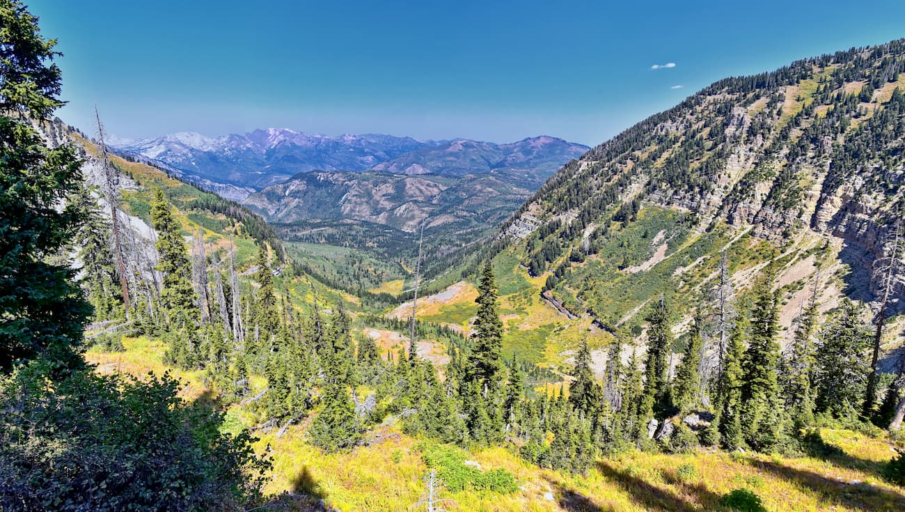
Grice Mulligan
Mountain
9
Mountain Hut
0
Mountain pass
0
Lake
0
Ultra
1
Highest check-in
Peak:
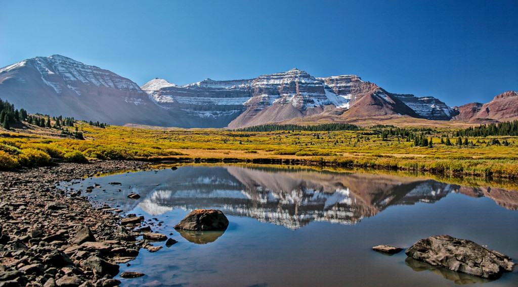
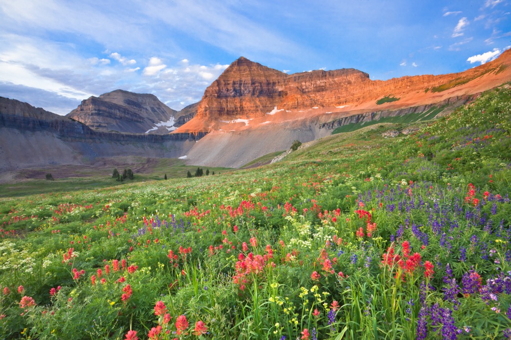
Mount Timpanogos
Elevation:
3 581 m
Most prominent check-in
Peak:
Mount Timpanogos
Prominence:
1 607 m
9 check-ins
By Date
By Date
By Elevation
By Prominence
The Dome
1665091599
2 013 m
(prom:
134 m
)
Adams Peak
1665085511
1 849 m
(prom:
71 m
)
The Pfeifferhorn
1663445039
3 453 m
(prom:
251 m
)
Big Mountain
1659913836
2 578 m
(prom:
99 m
)
Grandeur Peak
1652915571
2 530 m
(prom:
229 m
)
Mount Timpanogos
1633113231
3 581 m
(prom:
1 607 m
)
Hidden Peak
1632683427
3 348 m
(prom:
59 m
)
Twin Peaks (east)
1632680871
3 484 m
(prom:
42 m
)
Twin Peaks (west)
1632680093
3 502 m
(prom:
1 117 m
)
Ultra mountains of Utah
All summits:
1 out of 8
Fred Beckey's Great Peaks of the Continent
All summits:
1 out of 35
USA
Independent peaks:
2 out of 7529
Utah
Independent peaks:
2 out of 285
Highpoints:
1 out of 26
Western Rocky Mountains
Independent peaks:
2 out of 166
Great Basin Ranges
Uinta-Wasatch-Cache National Forest
Independent peaks:
2 out of 63
Mount Timpanogos Wilderness Area
All summits:
1 out of 10
Lone Peak Wilderness Area
All summits:
1 out of 17
PeakVisor for iOS and Android
Be a superhero of outdoor navigation with state-of-the-art 3D maps and mountain identification in the palm of your hand!
Scan the QR code to download PeakVisor mobile app