We use necessary cookies to make the website work, also they are used to understand site usage and make improvements.
Accept
Reject
PeakVisor
Explorer
Explorer
Ski Map
Hike Map
3D Map
Get PeakVisor App
Sign In
Search by GPS coordinates
Teleport
Latitude
N
S
°
'
''
Longitude
E
W
°
'
''
Units of Length
m/km
ft/mi
Explorer
Ski Map
Hike Map
3D Map
Search by GPS coordinates
Settings
Sign In
Contact us
GPS coordinates
Settings
Share
×
Copy Link
Copy Coordinates
Facebook
Twitter
Email
Scan the QR code and open PeakVisor on your phone
❤ Wishlist
×
Choose
Delete
Cheryl Anne Griffiths
Mountain
15
Mountain Hut
0
Mountain pass
0
Lake
0
Ultra
0
Highest check-in
Peak:
Schiehallion
Elevation:
1 083 m
Most prominent check-in
Peak:
Schiehallion
Prominence:
713 m
15 check-ins
By Date
By Date
By Elevation
By Prominence
Mount Keen
1693230113
939 m
(prom:
308 m
)
Meall Ghaordaidh
1687799068
1 040 m
(prom:
491 m
)
Beinn Chaluim
1687092606
1 025 m
(prom:
449 m
)
Stob Coire Raineach
1685450320
925 m
(prom:
179 m
)
Meikle Bin
1672670689
570 m
(prom:
232 m
)
The Cairnwell
1665930038
934 m
(prom:
127 m
)
Stuchd an Lochain
1661604219
960 m
(prom:
481 m
)
Beinn Tulaichean
1657455547
946 m
(prom:
119 m
)
Beinn Dorain
1652614340
1 076 m
(prom:
331 m
)
Ben Vrackie
1652017021
842 m
(prom:
405 m
)
Allermuir Hill
1634908440
493 m
(prom:
234 m
)
Arthur's Seat
1633873648
251 m
(prom:
170 m
)
Ben Chonzie
1629118563
932 m
(prom:
640 m
)
Beinn Narnain
1628604625
927 m
(prom:
290 m
)
Schiehallion
1627819243
1 083 m
(prom:
713 m
)
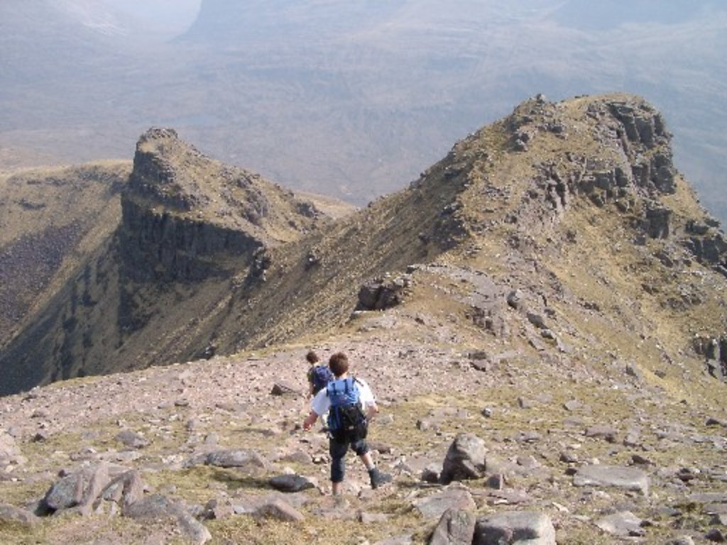
Munros
All summits:
11 out of 282
Britain's 40 Finest Mountains
All summits:
1 out of 40
Marilyns of Great Britain
All summits:
13 out of 1623
Corbetts
All summits:
1 out of 222
United Kingdom
Independent peaks:
8 out of 489
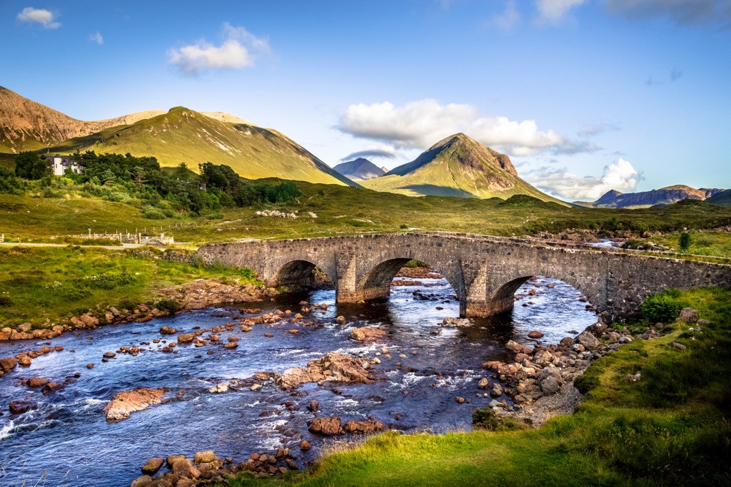
Scotland
Independent peaks:
8 out of 404
Grampian Mountains
Independent peaks:
8 out of 151
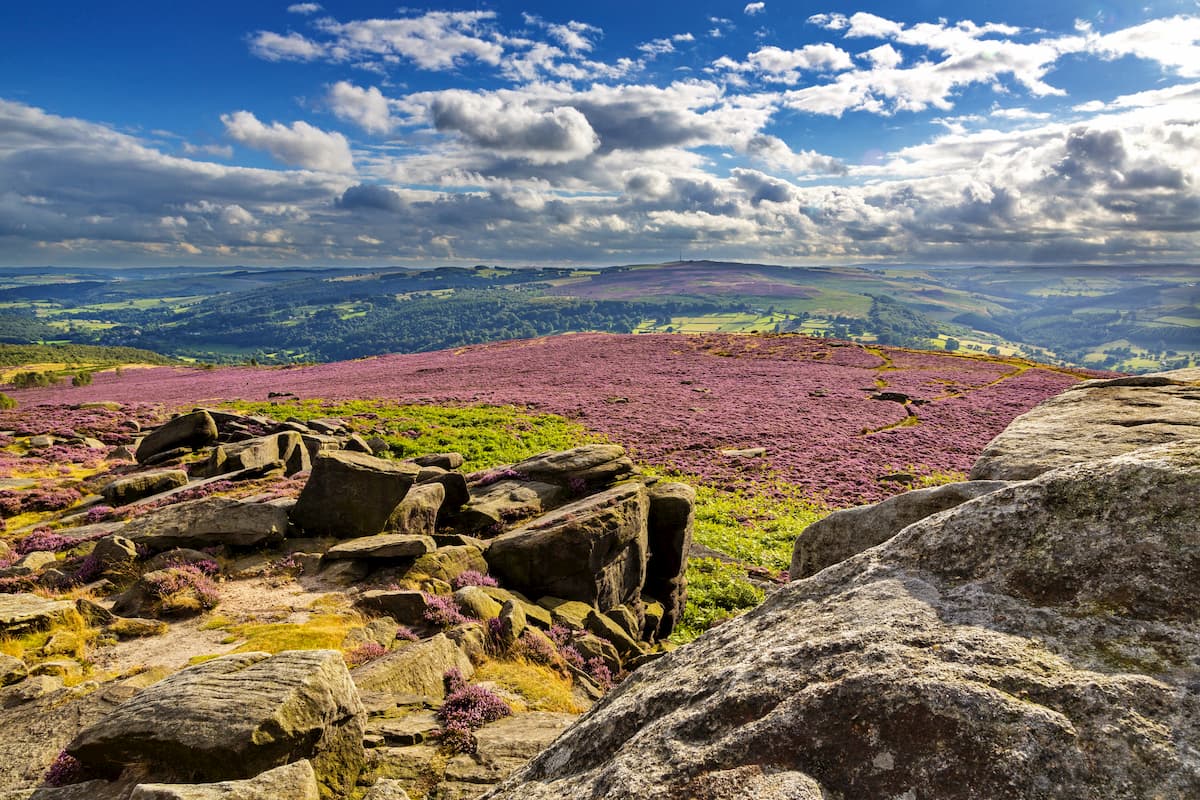
Loch Lomond and The Trossachs National Park
Pentland Hills Regional Park
All summits:
1 out of 44
Cairngorms National Park
Independent peaks:
1 out of 23
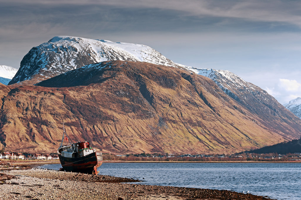
Glencoe National Nature Reserve
PeakVisor for iOS and Android
Be a superhero of outdoor navigation with state-of-the-art 3D maps and mountain identification in the palm of your hand!
Scan the QR code to download PeakVisor mobile app