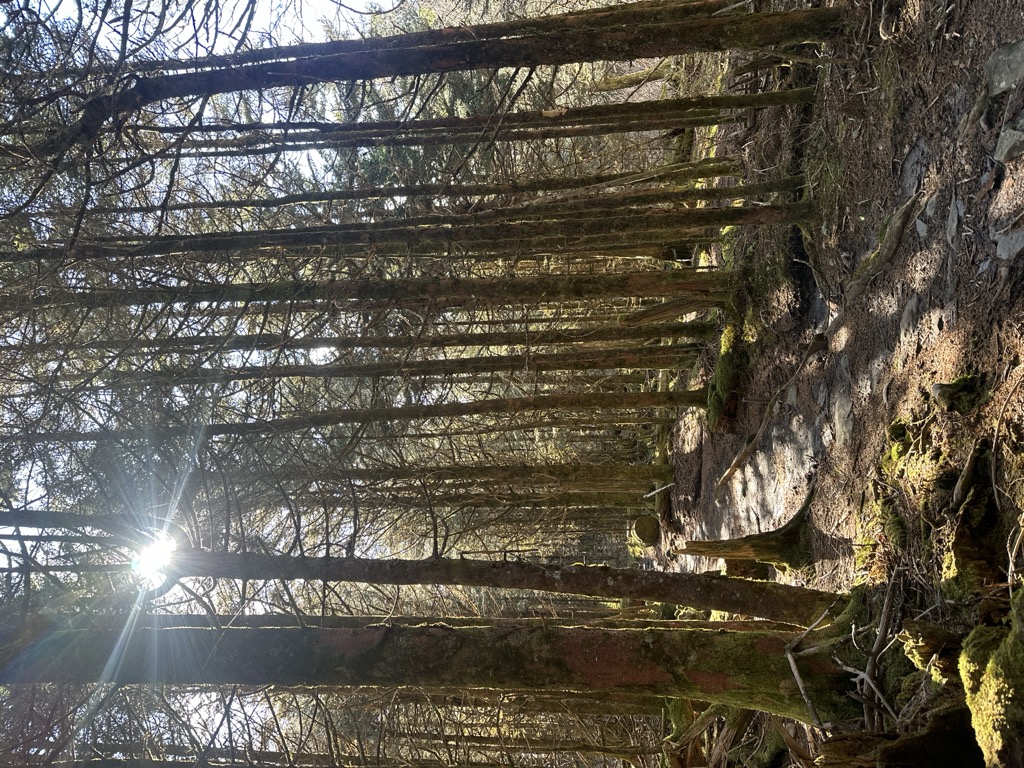
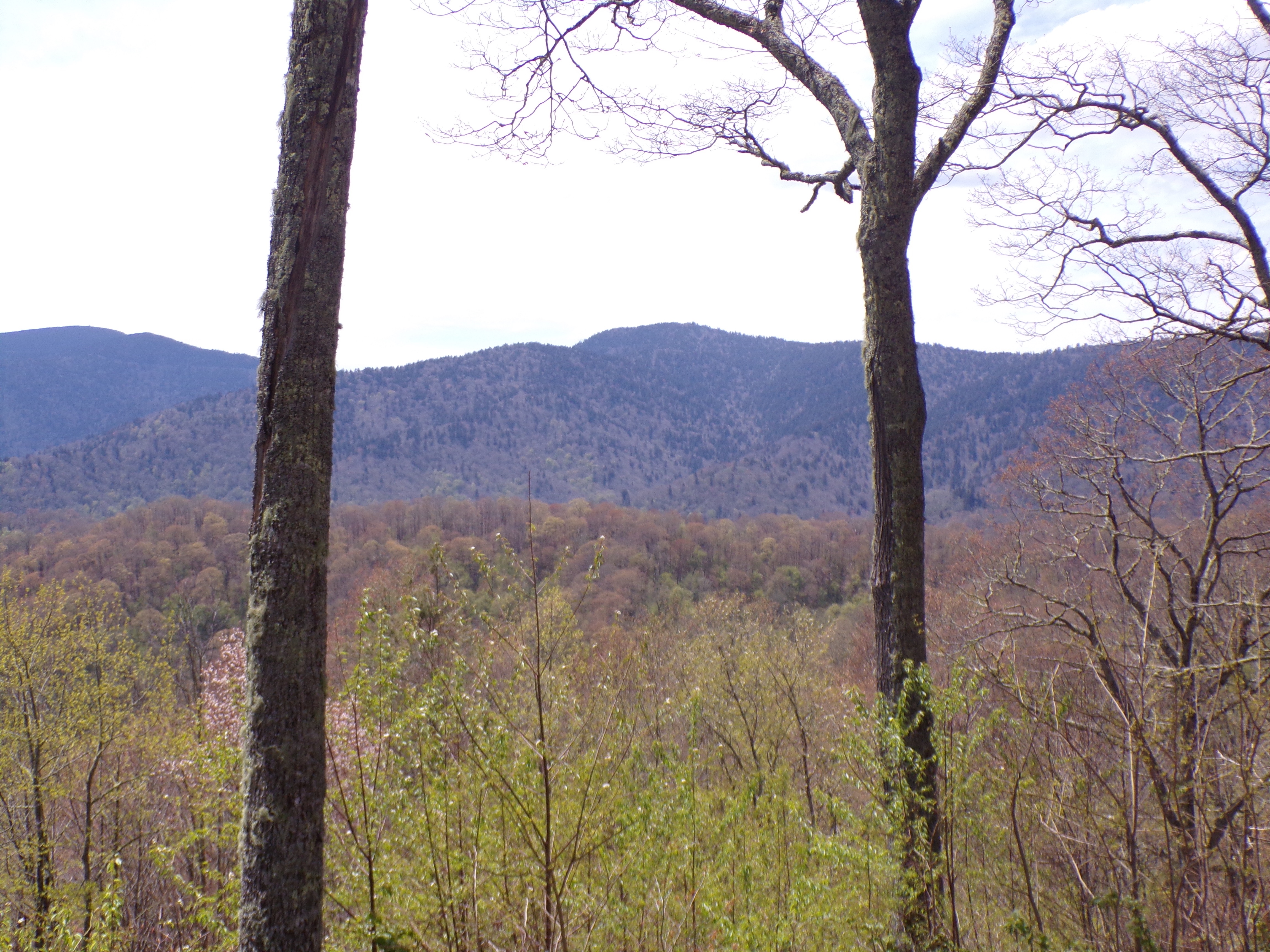
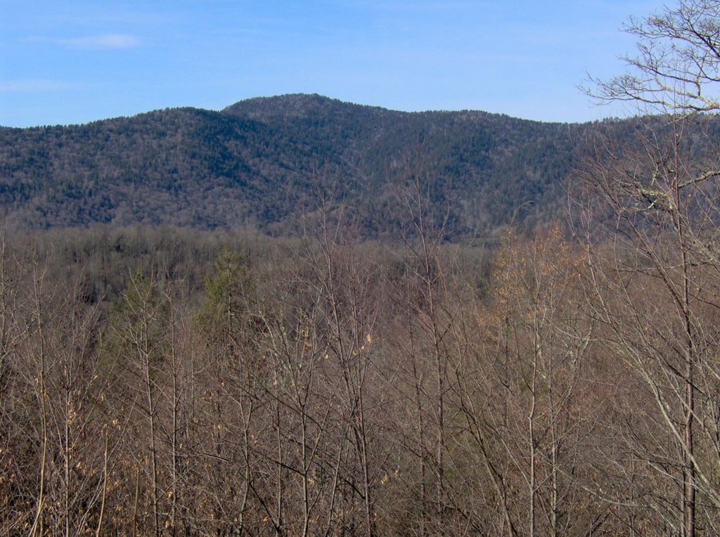
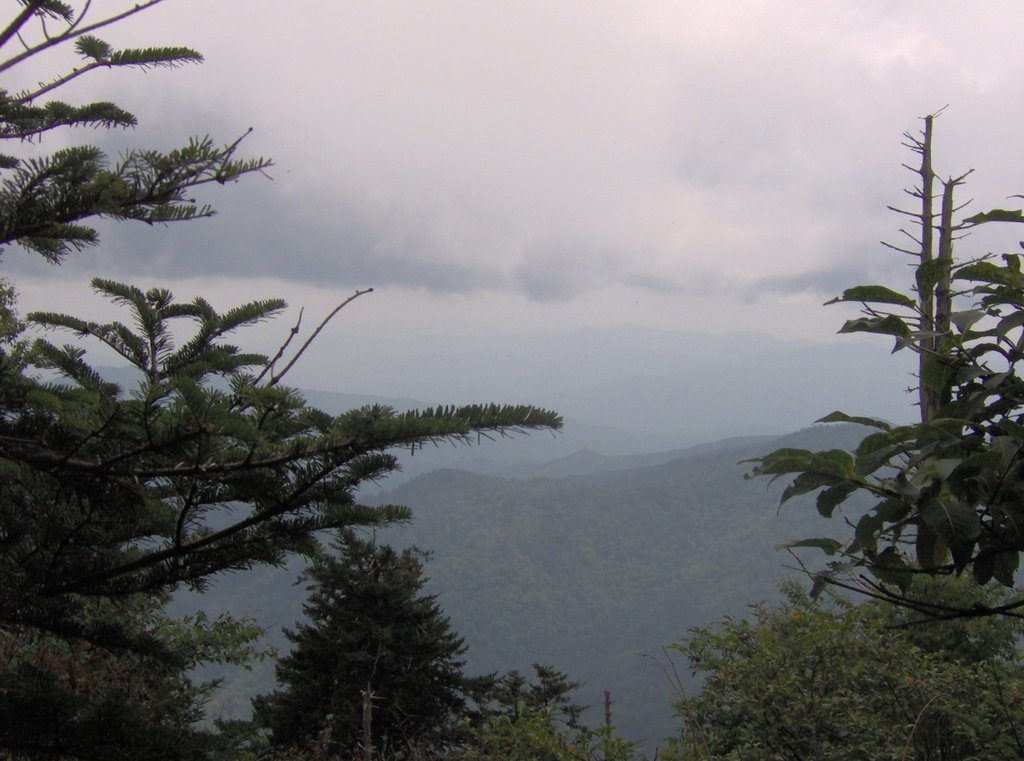
Mount Collins is a mountain in the Great Smoky Mountains, located in the Southeastern United States. It has an elevation of 6,188 feet (1,886 m) above sea level. Located along the Appalachian Trail between Clingmans Dome and Newfound Gap, the mountain is a popular destination for thru-hikers. A backcountry shelter and a major trail junction are located along the mountain's northeastern slope. The mountain's summit is located amidst the Southern Appalachian spruce-fir forest that covers much of the upper elevations in the central Smokies.
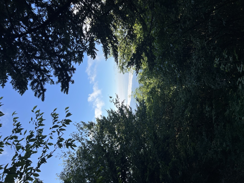
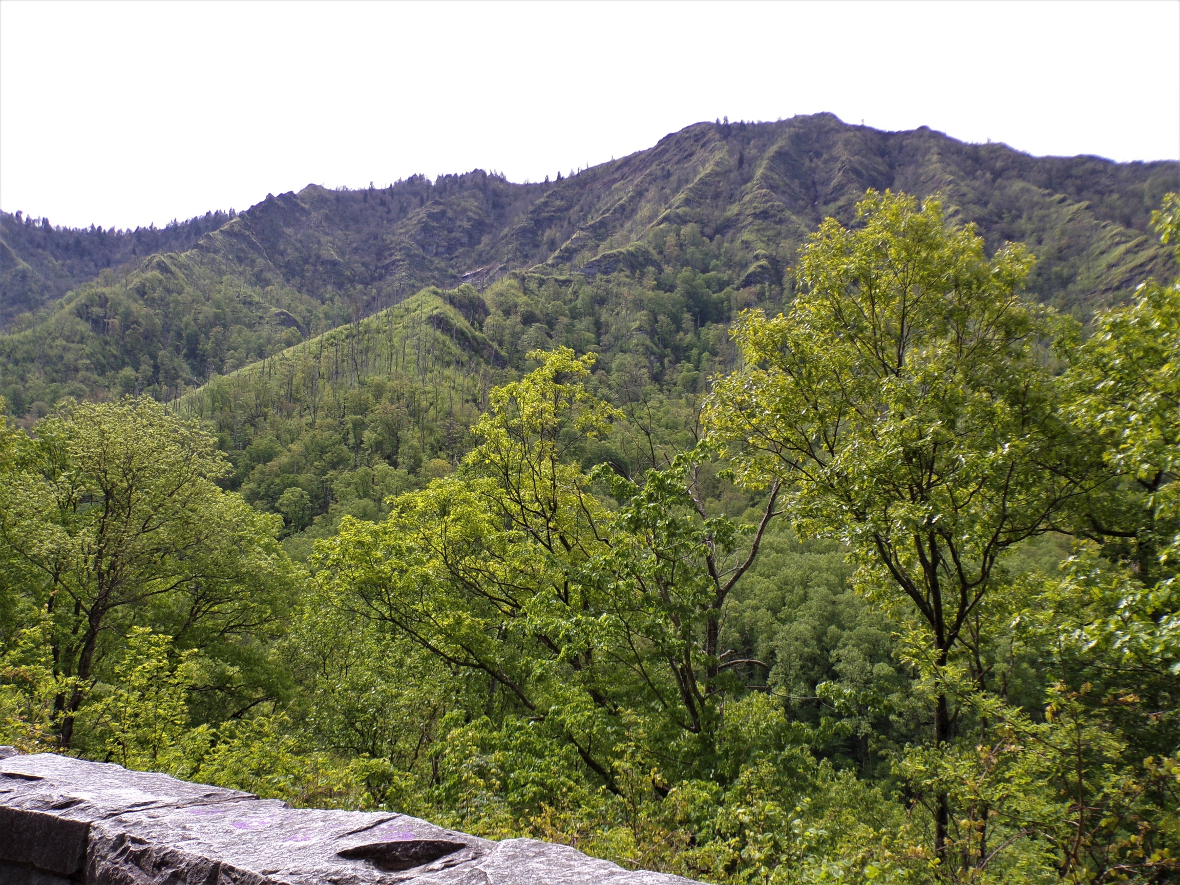
Like most of the Smokies crest, Mount Collins is situated along the Tennessee-North Carolina border, with Sevier County to the north and Swain County to the south. The mountain rises approximately 4,000 feet (1,200 m) above its southeastern base near Bryson City[1] and just over 3,000 feet (910 m) above its northwestern base near Meigs Post Prong [2]. The mountain is the 25th-highest mountain in the Eastern United States, the 7th-highest in Tennessee,[3] and the 10th-highest in the Great Smoky Mountains National Park.[4]
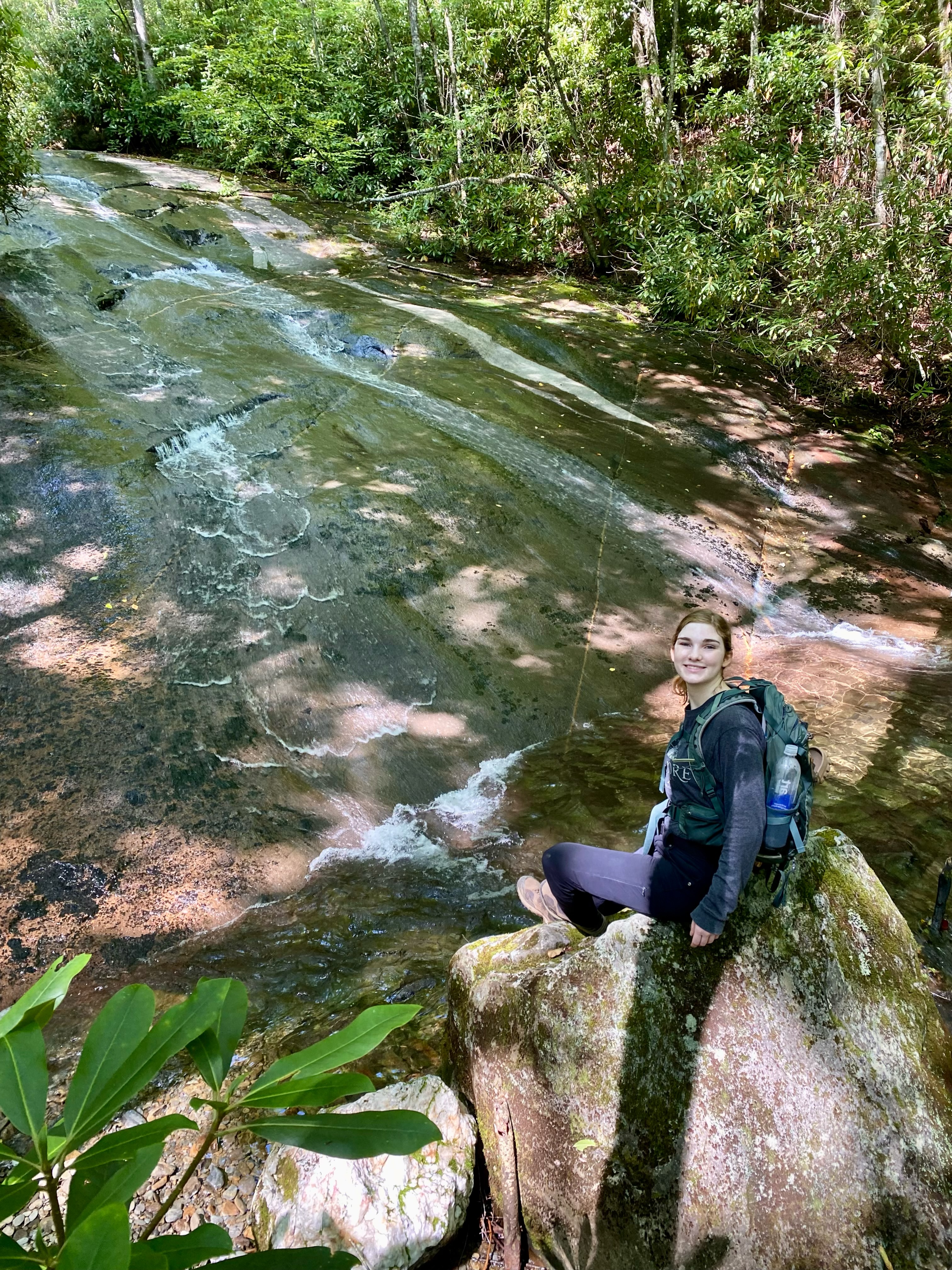
The Sugarland Mountain massif— which rises in the Sugarlands and stretches nearly 10 miles (16 km) across the north-central section of the park— intersects the Smokies crest at the summit of Mount Collins. Two major watersheds— Little River and the West Fork of the Little Pigeon River— have their sources high on the mountain's northern slopes. The former flows down to Townsend and drains the northwestern Smokies before emptying into the Tennessee River. The latter drains the north-central section of the park, flowing through the Sugarlands, Gatlinburg, Pigeon Forge, and Sevierville en route to the French Broad River.
Mount Collins is named after Robert Collins, an Oconaluftee resident who guided Arnold Guyot across the crest of the Smokies in the late 1850s. In 1859, Guyot correctly measured the mountain's summit at 6,188 feet (1,886 m). While originally named "Mount Collins", the mountain was known as "Meigs Post" throughout the late-19th century and early-20th century after a station constructed by Return Meigs near its summit. In 1931, Horace Kephart requested the mountain be named for him, but due to protests from Tennesseans (who favored their statesman Robert Collins over the North Carolinian Kephart), he settled on the mountain that now bears his name several miles to the east.
There's a trail called Appalachian Trail leading to the summit. Mount Collins is one of the 311 peaks along the multi-day Appalachian Trail.
By elevation Mount Collins is
# 16 out of 3221 in Tennessee # 14 out of 171 in Sevier County # 16 out of 345 in Great Smoky Mountains National Park # 41 out of 3424 in North Carolina # 9 out of 239 in Swain County # 47 out of 39823 in the Appalachian Mountains # 16 out of 497 in the Great Smoky Mountains # 46 out of 6326 in the Blue Ridge Mountains
By prominence Mount Collins is
# 25 out of 171 in Sevier County # 36 out of 345 in Great Smoky Mountains National Park # 36 out of 239 in Swain County # 59 out of 497 in the Great Smoky Mountains
We use GPS information embedded into the photo when it is available.
3D mountains overlay
Adjust mountain panorama to perfectly match your photos because recorded by camera photo position might be imprecise.
Move tool
Rotate tool
Zoom
More customization
Choose which peak labels should make into the final photo and what photo title should be.
Next
Photo Location
Satellitte
Flat map
Relief map
Latitude
Longitude
Altitude
OR
Latitude
°'''
Longitude
°'''
Apply
Register Peak
Peak Name
Latitude
Longitude
Altitude
Register
Teleport
PeakVisor
This 3D model of Sagarmatha National Park in Nepal was made using the PeakVisor app topographic data. The mobile app features higher precision models worldwide, more topographic details, and works offline. Download PeakVisor maps today.
Download OBJ model
PeakVisor
The download should start shortly. If you find it useful please consider supporting the PeakVisor app.
PeakVisor for iOS and Android
Be a superhero of outdoor navigation with state-of-the-art 3D maps and mountain identification in the palm of your hand!