At 1,042 m n.m., the Čerchov (German: Schwarzkopf) is the highest mountain in the Upper Palatine Forest (Český les) and the northern summit of the Bohemian Forest. It lies ca. 2 km from the German-Czech border, roughly in the middle of a triangle formed by the villages of Waldmünchen, Furth im Wald and Domažlice.
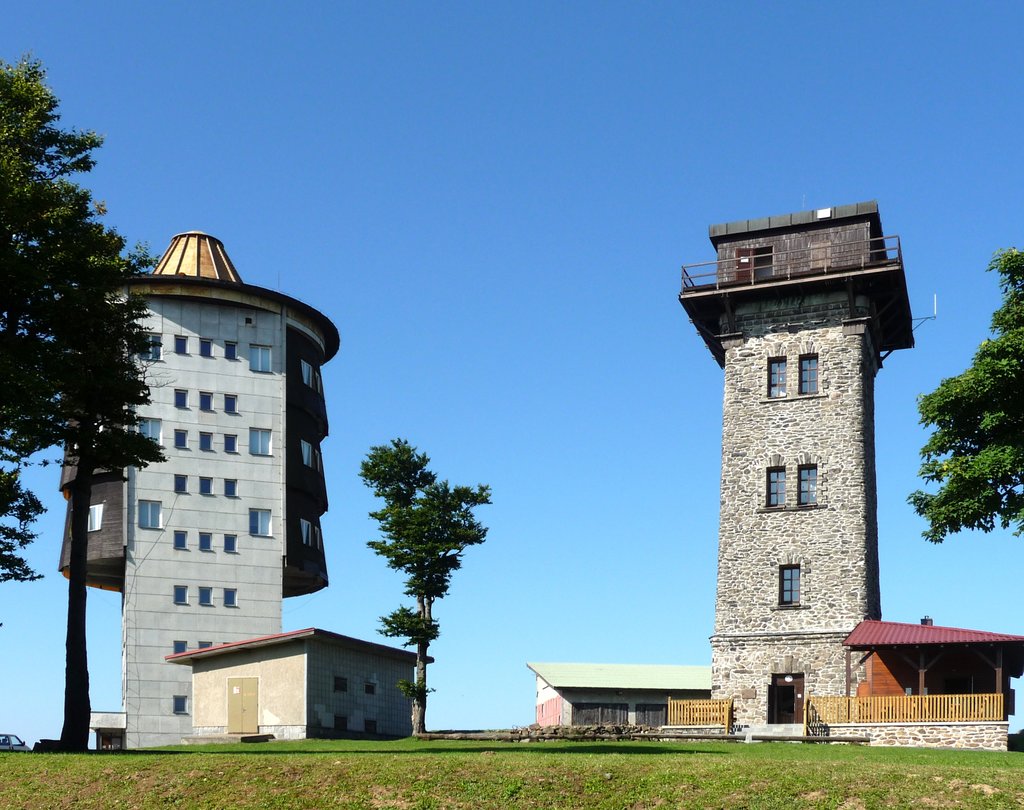
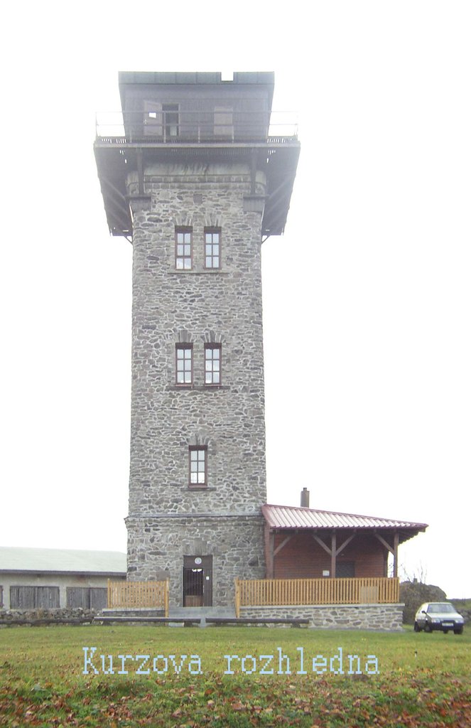
After its use by the Wehrmacht in the Second World War the summit was intensively used by the Warsaw Pact until the 1990s as a surveillance station and was placed out of bounds to the public. In addition to the observation tower erected in 1904 by Vilém Kurz and known as the Kurz Tower, a second, larger tower was built in 1987 by the Czechoslovak Army which is used today for flight safety purposes and is not accessible. The corresponding NATO communication station was located on the Hoher Bogen about 20 km away to the southeast. Other surveillance posts were sited inter alia on the Velký Zvon (German: Plattenberg, with a tower of very similar design built in 1978 and which had line-of-sight to the Čerchov site) and the Dyleň. As well as the Soviet Army the site was also used by Hauptabteilung III of the East German Stasi as a listening post (codenamed RUBIN). Following the opening of the border and reunification of Germany the listening posts were closed and from July 2000 the Kurz Tower has been accessible once more. The mountain offers an all-round view of the Bavarian Forest and the Czech Plain. In good weather conditions, the Alps may be seen. There is an amateur radio on the mountain.
There's a trail leading to the summit.
The nearest mountain hut is Na zlomu / Sattelhütte located 1 914m/6 281ft SSW of the summit.
By elevation Čerchov is
# 1 out of 143 in Český les Protected Landscape Area # 1 out of 3 in národní přírodní rezervace Čerchovské hvozdy # 76 out of 1213 in Plzeňský kraj
By prominence Čerchov is
# 1 out of 143 in Český les Protected Landscape Area # 1 out of 3 in národní přírodní rezervace Čerchovské hvozdy # 1 out of 2739 in Southwest # 1 out of 1213 in Plzeňský kraj # 10 out of 13640 in Czechia # 8 out of 23540 in the Bohemian Ranges
We use GPS information embedded into the photo when it is available.
3D mountains overlay
Adjust mountain panorama to perfectly match your photos because recorded by camera photo position might be imprecise.
Move tool
Rotate tool
Zoom
More customization
Choose which peak labels should make into the final photo and what photo title should be.
Next
Photo Location
Satellitte
Flat map
Relief map
Latitude
Longitude
Altitude
OR
Latitude
°'''
Longitude
°'''
Apply
Register Peak
Peak Name
Latitude
Longitude
Altitude
Register
Teleport
PeakVisor
This 3D model of Sagarmatha National Park in Nepal was made using the PeakVisor app topographic data. The mobile app features higher precision models worldwide, more topographic details, and works offline. Download PeakVisor maps today.
Download OBJ model
PeakVisor
The download should start shortly. If you find it useful please consider supporting the PeakVisor app.
PeakVisor for iOS and Android
Be a superhero of outdoor navigation with state-of-the-art 3D maps and mountain identification in the palm of your hand!