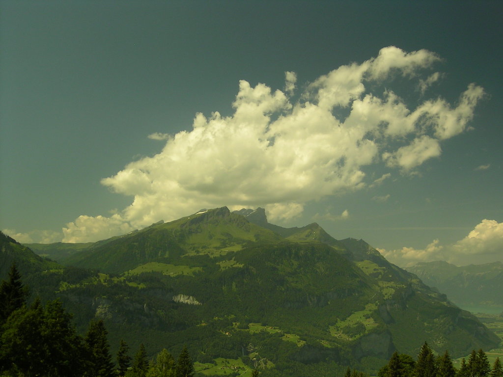
For the nearby peak of the same name, some 7 km to the west, see Tschingel (Axalp).The Tschingel (2,326 m) is a mountain of the Bernese Alps, overlooking Meiringen in the Bernese Oberland. It constitutes the eastern end of the Grindelgrat, a ridge descending from the Garzen summit (2,710 m).
The summit is on the border between Meiringen and Schattenhalb municipalities.
The toponym Tschingel or Zingel is comparatively frequent in Central Switzerland. It is a derivation of Latin cingulum "girdle, belt" and refers to a horizontal band of naked rock, or striations in a rock face.
We use GPS information embedded into the photo when it is available.
3D mountains overlay
Adjust mountain panorama to perfectly match your photos because recorded by camera photo position might be imprecise.
Move tool
Rotate tool
Zoom
More customization
Choose which peak labels should make into the final photo and what photo title should be.
Next
Photo Location
Satellitte
Flat map
Relief map
Latitude
Longitude
Altitude
OR
Latitude
°'''
Longitude
°'''
Apply
Register Peak
Peak Name
Latitude
Longitude
Altitude
Register
Teleport
PeakVisor
This 3D model of Sagarmatha National Park in Nepal was made using the PeakVisor app topographic data. The mobile app features higher precision models worldwide, more topographic details, and works offline. Download PeakVisor maps today.
Download OBJ model
PeakVisor
The download should start shortly. If you find it useful please consider supporting the PeakVisor app.
PeakVisor for iOS and Android
Be a superhero of outdoor navigation with state-of-the-art 3D maps and mountain identification in the palm of your hand!