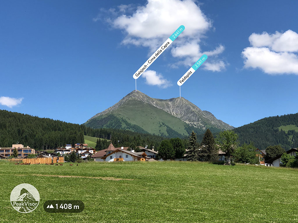
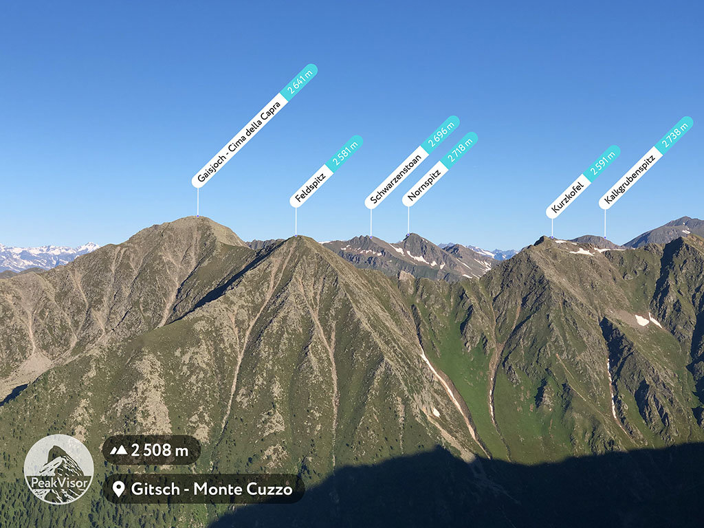
At an elevation of 2,581 m (8,468ft.), and with a prominence of 69 m (226 ft.), Feldspitz is a mountain in Trentino-Alto Adige/Südtirol, in the province of South Tyrol, Italy.
This mountain is also known by the names of Dreiecker and Windbachspitze. It is located in the border area between Austria and Italy and forms part of the Zillertal ridge and the main ridge of the Alps. The southern side of the mountain falls under the protection of the Riesrferner-Ahrn Nature Park.
This particular climb is popular due to its southern orientation, which results in better weather conditions, conducive to hiking and mountaineering.
Before setting out, visitors are advised to check the feasibility of the trails since some of the trails are no longer accessible.
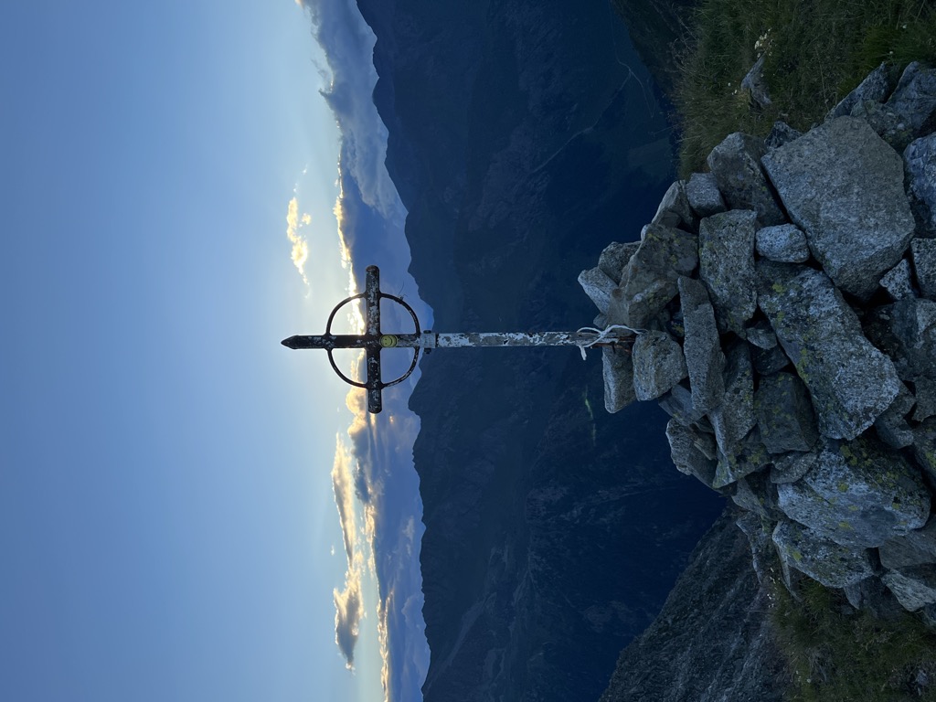
There's a trail leading to the summit.
The nearest mountain hut is Wieserhütte located 1 028m/3 371ft E of the summit.
We use GPS information embedded into the photo when it is available.
3D mountains overlay
Adjust mountain panorama to perfectly match your photos because recorded by camera photo position might be imprecise.
Move tool
Rotate tool
Zoom
More customization
Choose which peak labels should make into the final photo and what photo title should be.
Next
Photo Location
Satellitte
Flat map
Relief map
Latitude
Longitude
Altitude
OR
Latitude
°'''
Longitude
°'''
Apply
Register Peak
Peak Name
Latitude
Longitude
Altitude
Register
Teleport
PeakVisor
This 3D model of Sagarmatha National Park in Nepal was made using the PeakVisor app topographic data. The mobile app features higher precision models worldwide, more topographic details, and works offline. Download PeakVisor maps today.
Download OBJ model
PeakVisor
The download should start shortly. If you find it useful please consider supporting the PeakVisor app.
PeakVisor for iOS and Android
Be a superhero of outdoor navigation with state-of-the-art 3D maps and mountain identification in the palm of your hand!