
Share

Scan the QR code and open PeakVisor on your phone
Scan the QR code and open PeakVisor on your phone
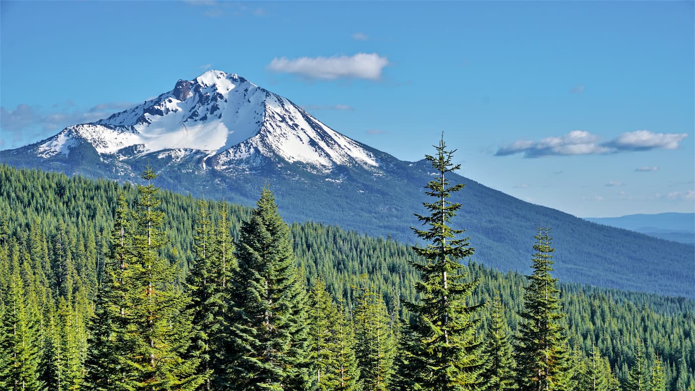
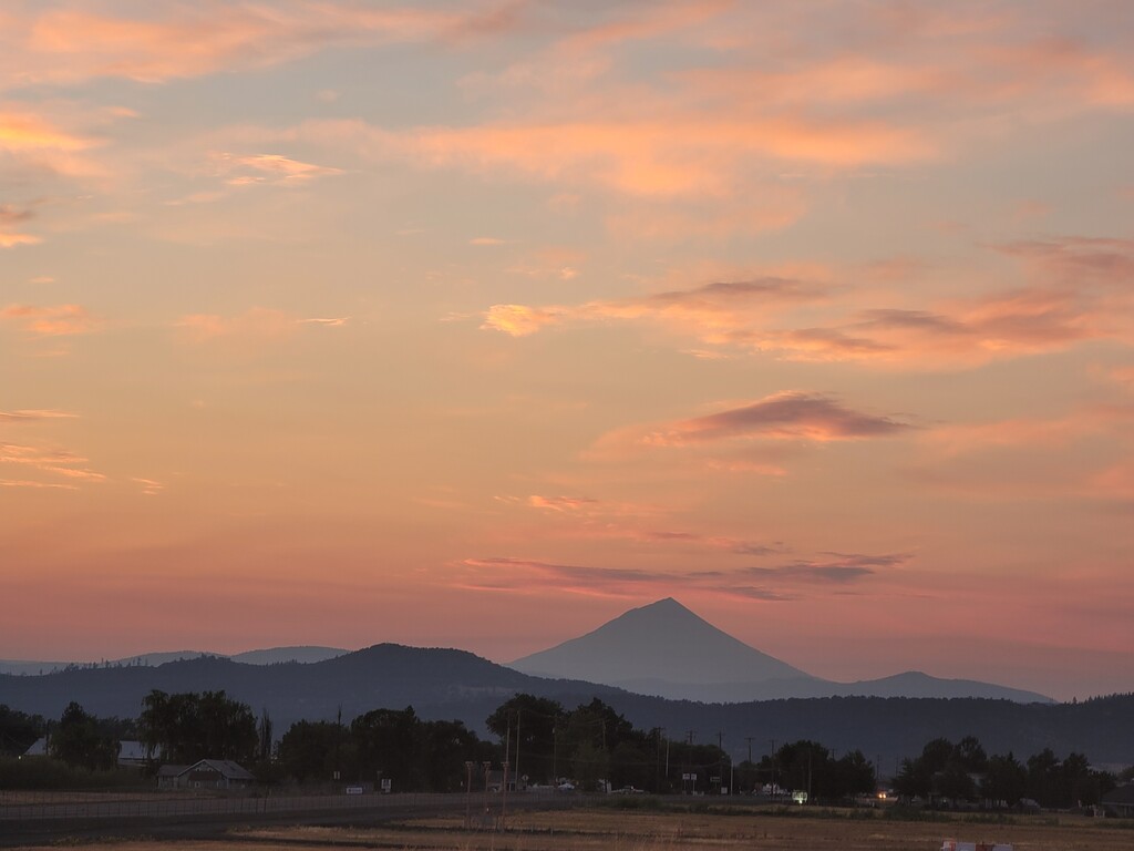
The Rogue River-Siskiyou National Forest is located within the states of Oregon and California. Once two separate forests, the Rogue River and Siskiyou National Forests were combined to make one back in 2004. The region now covers 1.8 million. The forest stretches from the Cascade Range to the Siskiyou Mountains, while California sits to the south. There are 261 named mountains in Rogue River-Siskiyou National Forest. The highest and the most prominent mountain is Mount McLoughlin. The forest encompasses parts of the Cascade Range, Southern Oregon Coast Range, and the Klamath Mountains.
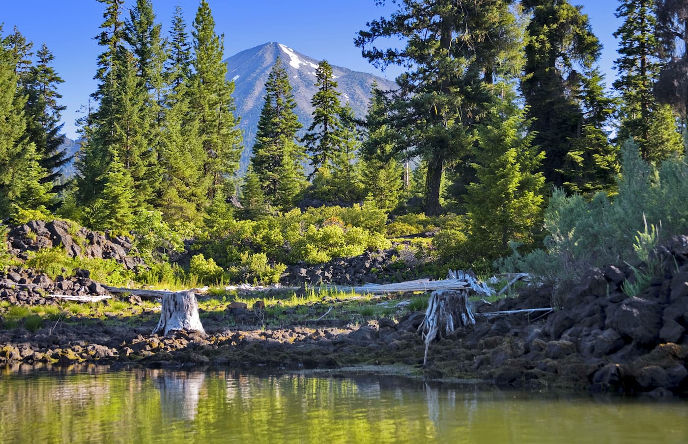
The largest river within the National Forest is the Rogue River. The river originates in the Cascade Range before flowing through both the Klamath Mountains and the Coastal Range. There are an estimated 345,300 acres of old growth forest within the National Forest. The forest is home to the world’s tallest pine tree, standing at 268.3 feet tall. The Rogue River-Siskiyou National Forests is home to eight distinct wilderness areas. Together these wilderness areas total 565,900 acres. Overall the forest is the third largest National Forest located within the state of Oregon.
With nearly 2 million acres to explore, there are seemingly countless hikes and trails within this forest. Here are some of the major regions to check out:
The Sky Lakes Wilderness stretches 116,300 acres within the Rogue River-Siskiyou National Forest. The wilderness is home to Mount McLoughlin which is the highest mountain within the forest. The trails in this wilderness feature old growth, high elevation forests, views of the Cascade Range, and the pumice covered Oregon Desert. From the top of Mount McLoughlin hikers can look out and see nearly the entire forests that cover nearly a quarter of the state of Oregon.
The Siskiyou Wilderness is located in northern California and covers land within the three national forests: Rogue River-Siskiyou, Klamath, and Six Rivers. The Clear Creek National Recreation Trail crosses 20.5-miles of the northern section of the wilderness. The trail offers some of the most scenic views in the entire wilderness. To the south sits the Kelsey National Recreation Trail that covers 20 miles. Another popular traverse in the wilderness is the Bigfoot Trail that follows the crest of the wilderness, traveling north to south.
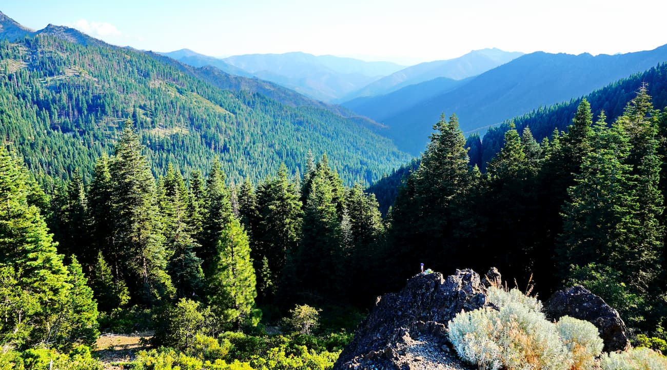
The Kalmiopsis Wilderness sits in the southwestern region of Oregon within the Klamath Mountains. The wilderness encompasses 179,755 acres and boasts 153-miles of trails with 24 designated trails. Elevations range from 500 to 5,098 feet. The wilderness is home to the basin of the Chetco and North Fork Smith Rivers. Within the Kalmiopsis Wilderness also sits a portion of the Illinois River canyon. The hiking trails in this wilderness are some of the most remote in the entire national forest.
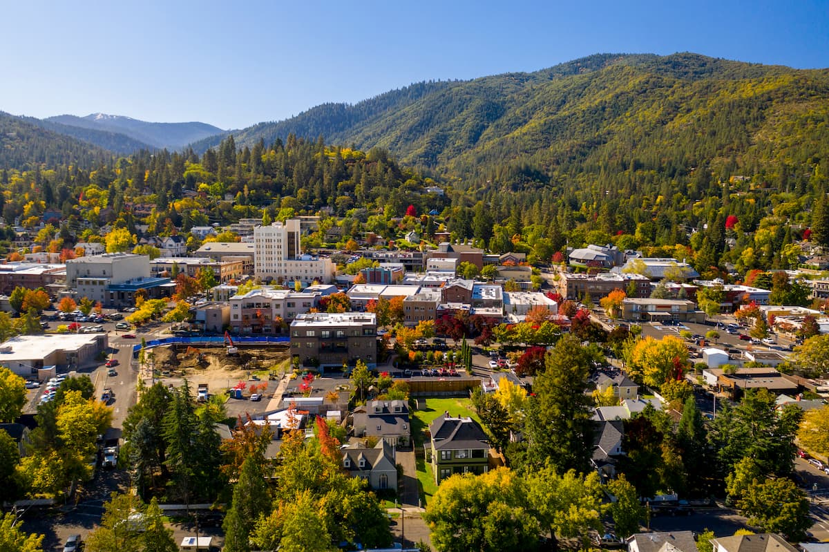
Ashland, Oregon is a city located in Southern Oregon with a population of around 21,000. The small city is known for being home to the Oregon Shakespeare Festival. The town is known for being very liberal, a sharp contrast to much of southern Oregon. Many of the city’s historical buildings have been preserved which give the downtown a quaint setting. Ashland is the perfect place to stay after a long hike in the mountains and is ideal for grabbing a bite to eat or check out a local gallery. The nearby city of Medford also has ample housing with close proximity to the surrounding mountain trails.
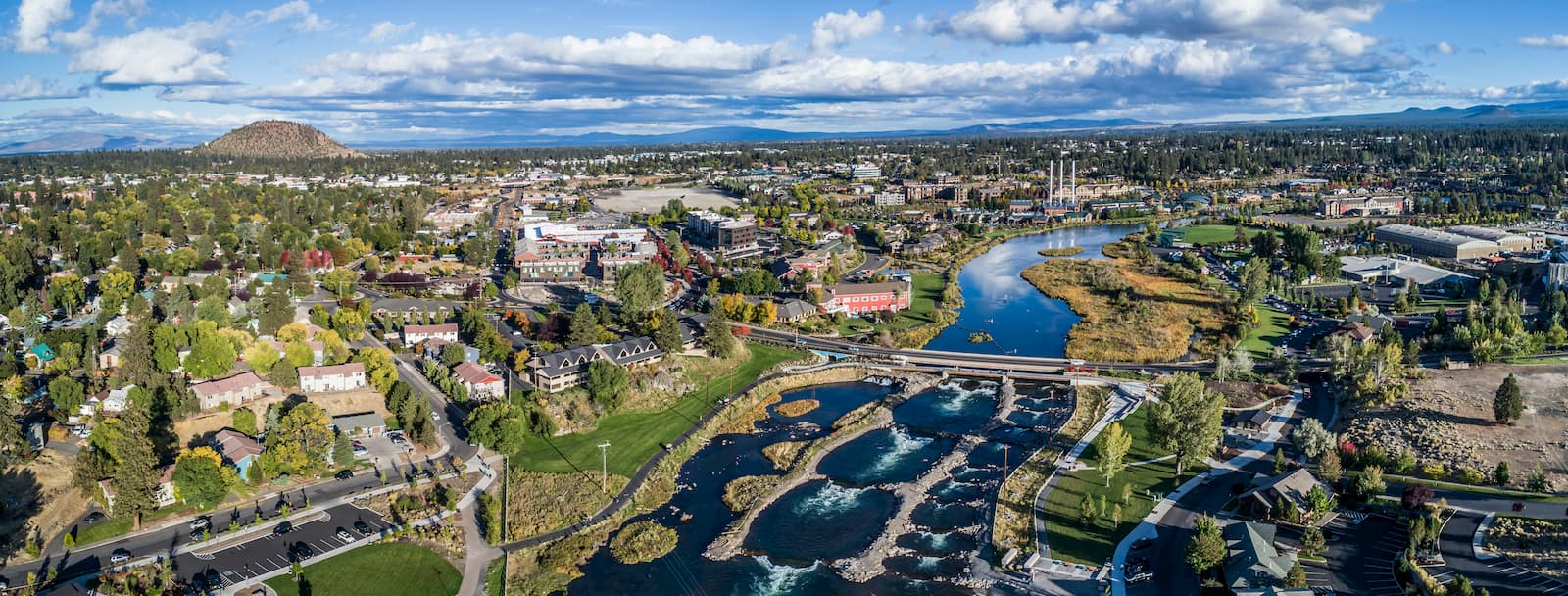
Bend is the largest city located in eastern Oregon with a population of nearly 100,000. The city is located on the Deschutes River and is known for being an outdoor paradise. To the west lies the lake and peaks of the Cascade Mountains, along with Mount Bachelor Ski Resort, while a trail in the city leads to the top of Pilot Butte. To the south lies the High Desert Museum and Newberry National Volcanic Monument. Just north of town is one of the state’s most iconic rock-climbing locations, Smith Rock State Park. As a whole, the city is a mecca for trail running, skiing, mountain biking, hiking, rock climbing, and even surfing in the river. Besides the abundance of outdoor activities, Bend is known for its numerous breweries and restaurants.
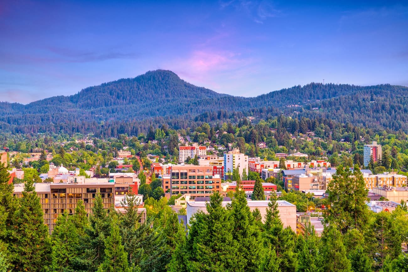
Known as “Track Town, USA”, Eugene is a runner’s paradise. With a population of nearly 200,000, the city is the largest within central Oregon. The city is located two hours south of Portland, and just one hour south of Salem, Oregon’s state capitol. The town is known for its focus on environmentalism and abundance of recreation activities including biking, hiking, rafting, and of course, running. Eugene is also where the Nike corporation began. Be sure to check out the Lane County Farmers’ Market or grab a bite to eat at one of the many local restaurants.
Explore Rogue River-Siskiyou National Forest with the PeakVisor 3D Map and identify its summits.


volcano
oregon-9000ers
cascade-range-9000ers
western-state-climbers
western-state-climbers-emblem
cascade-volcanoes-pin
volcano
oregon-9000ers
cascade-range-9000ers
western-state-climbers
western-state-climbers-emblem
cascade-volcanoes-pin

