Share

Scan the QR code and open PeakVisor on your phone
Scan the QR code and open PeakVisor on your phone
Reserva Provincial Alto Andina de La Chinchilla (La Chinchilla High Andean Provincial Reserve) is a protected region nestled in the northwestern section of Argentina. Situated along the foothills of the Andes mountain range, the park is home to both grasslands and lagoons. The park contains 48 named mountains. The tallest peak is Cerro Tinte standing at 5,856 m (19,213 ft) in elevation and the most prominent peak is Cerro Salle with 1,039 m (3,409 ft) of prominence.
La Chinchilla High Andean Provincial Reserve is located in the northwestern region of Argentina near the country’s borders with both Chile and Bolivia in the Jujuy Province. The protected area spans 3,685 sq km (1,423 sq miles).
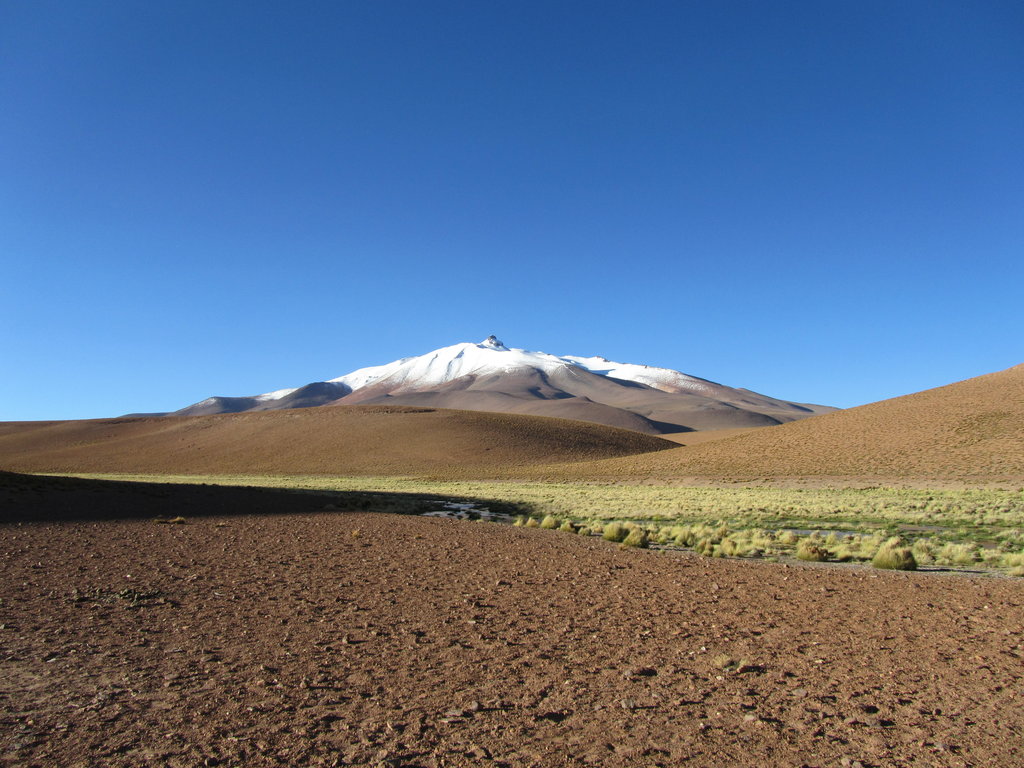
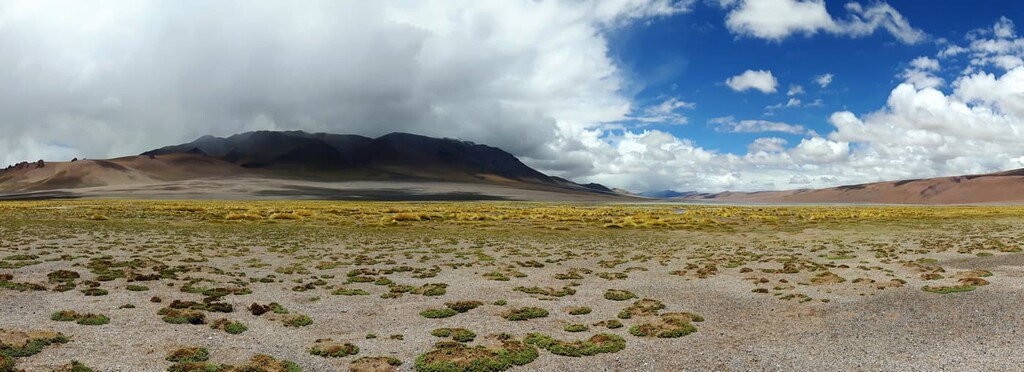
While most of the protected regions near the Andes are known for their rugged peaks, La Chinchilla High Andean Provincial Reserve is characterized by its vast network of lagoons and wetlands scattered among its dry desert hills. The region is characterized by its volcanic landscape, similar to what’s found throughout much of the eastern foothills of the Andes.
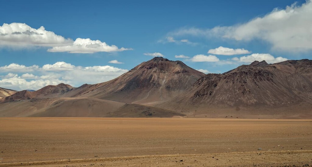
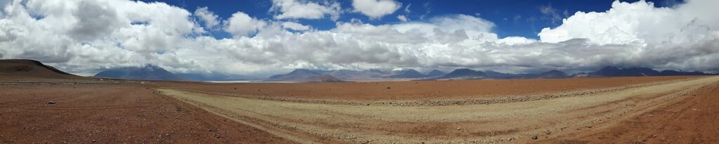
Rolling hills can be found throughout the provincial reserve and low rainfall in the region has resulted in a desert landscape. The hills are separated by deep valleys while the high peaks of the Andes stretch out to the southwest of the park. Terrain in the park is mainly arid with most of it being classified as semi-desert.
The twelve lagoons within the park boundaries cover an area of 4,600 ha (11,367 acres). The lagoons are fed by both meltwater and rising waters that travel down the nearby slopes into the arid valleys. A vast majority of the lagoons have quite high levels of salinity.
Additionally, La Chinchilla High Andean Provincial Reserve is surrounded by other popular outdoor recreation areas. The Eduardo Avaroa Andean Fauna National Reserve lies to the northwest, Los Andes Wildlife Provincial Reserve (Reserva Provincial de Flora y Fauna Los Andes) lies directly south, and Calilegua National Park (Parque Nacional Calilegua) lies to the east.
The geology of the park, and the Jujuy Province, is characterized by being a high plateau surrounded by the Andes. The high elevations of the Andes along the southeastern border of the park, have left Jujuy with a desert climate.
The Andes were formed by the process of tectonic plates. Subduction of the oceanic crust beneath the South American Plate ultimately resulted in the formation of the range. To the east of the range, where the park lies, there are a number of vast sedimentary basins.
The peaks surrounding the park are home to large amounts of ore and iron. The eastern foothills of the park, along with the lagoons, are home to an immense amount of salt, allowing local communities to harvest it for economic purposes.
Major peaks within the park include Cerro El Toro, Colanguil, Toro Central, La Ortiga, Baquano, El Potro, and Cerro Nevado de Los Tambillos.
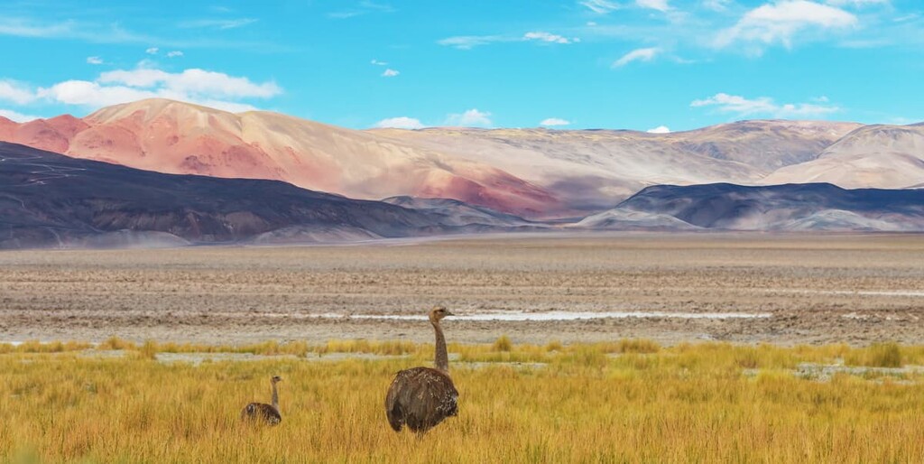
The park is incredibly important in terms of protecting species of flora and fauna. Vegetation is scarce throughout the park and the surrounding regions. Alpine grasses can be found throughout with more plant life surrounding the lagoons in the northern stretches of the park. Here other grasses such as reed and yareta can be found amongst various species of cacti.
Furthermore, as the name suggests, the park is vital for the survival of the chinchilla. In particular, the park is home to short-tailed chinchillas (Chinchilla chinchilla), which are an endangered species that was historically found throughout much of the Andes in Bolivia, Peru, Chile, and Argentina. The short-tailed chinchilla is now found in only a fraction of its traditional range due to over-hunting for the animal’s very soft fur.
Besides chinchillas, the park is also home to the vicuña, Andean cat, and the Andean rhea. The lagoons in the park also allow bird species to thrive in the area. Common bird species include the puna plover, puna duck, copete chola, Andean seagull, Andean avocet, Andean flamingo, along with various migratory birds.
Aboriginial groups date back to around 3000 BCE. The Qulla people (also known as Colla or Omaguacas) inhabited the region long before the Spanish arrived in the late sixteenth century.
Indigenous villages in the region often had a stone wall surrounding the huts known as a Pucara de Tilcara. The Qulla practiced agriculture with an emphasis on growing potatoes and quinoa. Furthermore, the Qulla are also known for having domesticated the guanaco.
Despite resistance from Indigenous peoples, the Spanish colonizers erected a village in the region in 1593. In the following centuries, the European population continued to grow in the region, particularly as the sugarcane industry began to thrive during the early nineteenth century.
Today Jujuy’s economy, and that of the region around La Chinchilla High Andean Provincial Reserve, relies on the extraction of petroleum along with the production of salt and paper. The park was established in 1992 in an effort to protect the threatened chinchilla, vicuña, and various bird species.
There are an extremely limited number of trails throughout La Chinchilla High Andean Provincial Reserve. Due to the remote nature of the region, there are relatively few guided trips by locals and most simply take visitors over RN52 by vehicle to pass from Argentina over to Chile.
One multi-day route which is not regularly used is that of El Toro – Cerro Zapaleri – Laguna de Vilama. Starting in the village of El Toro, this route is normally used for bike touring instead of hiking. The trail passes over the northern Andes before entering Chile. The trail then re-enters Argentina and ends at Lagua de Vilama before heading back the same way.
Looking for a place to stay near La Chinchilla High Andean Provincial Reserve? Here are some of the best cities and villages to check out in the region:
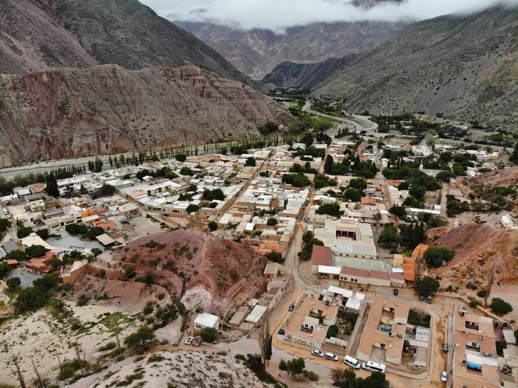
Located around three hours east of the park by car lies the city of San Salvador de Jujuy. The city is the capital of the Jujuy province and the western stretches of the city are met by wooded hills while the eastern region marks the start of the lowlands.
The urban population of the city is home to around 260,000 people, making it the most populous city in the province. Visitors to the city are also in close proximity to Calilegua National Park, which offers additional hiking opportunities. Other popular attractions of the area include the colorful gorge of Quebrada de Humahuaca along with the giant salt flats of Salinas Grandes.
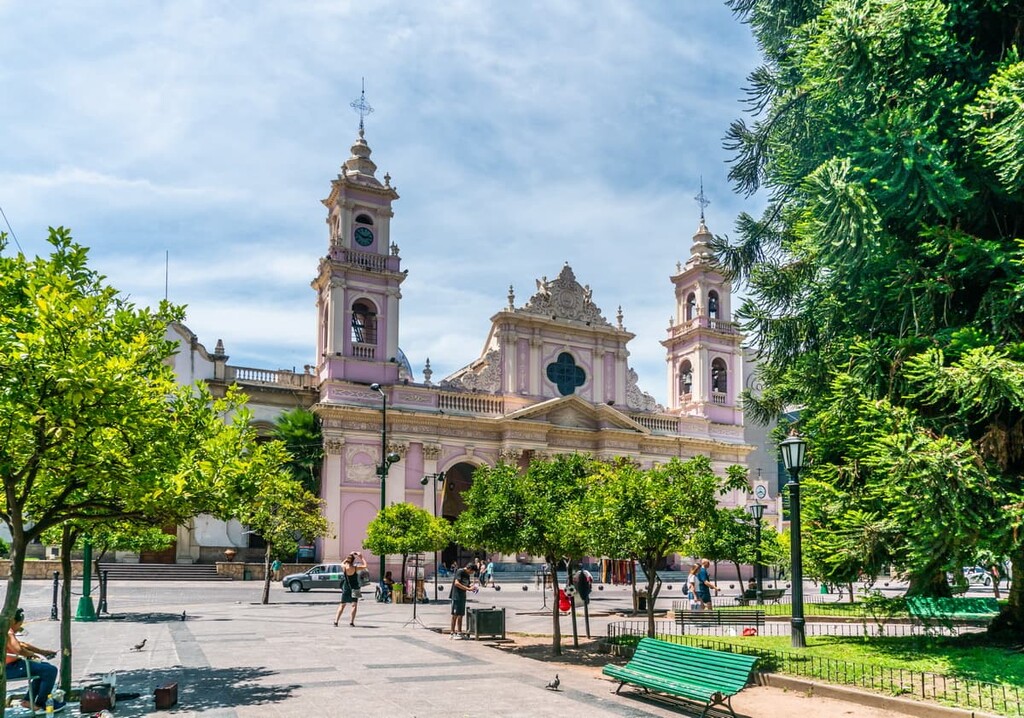
The city of Salta is located just under two hours south of San Salvador de Jujuy. It is the capital of the Salta province and it has a metro population of 620,000 people, making it the eighth most populous city in the country.
The city is home to stunning architecture along with its close proximity to the protected parks and vineyards. Visitors often make a trip to the nearby Salinas Grandes Salt Flats. Other popular sights include taking a cable car up Cerro San Bernardo for panoramic views of the city and its surrounding hills and mountains.
Explore Reserva Provincial Alto Andina de La Chinchilla with the PeakVisor 3D Map and identify its summits.