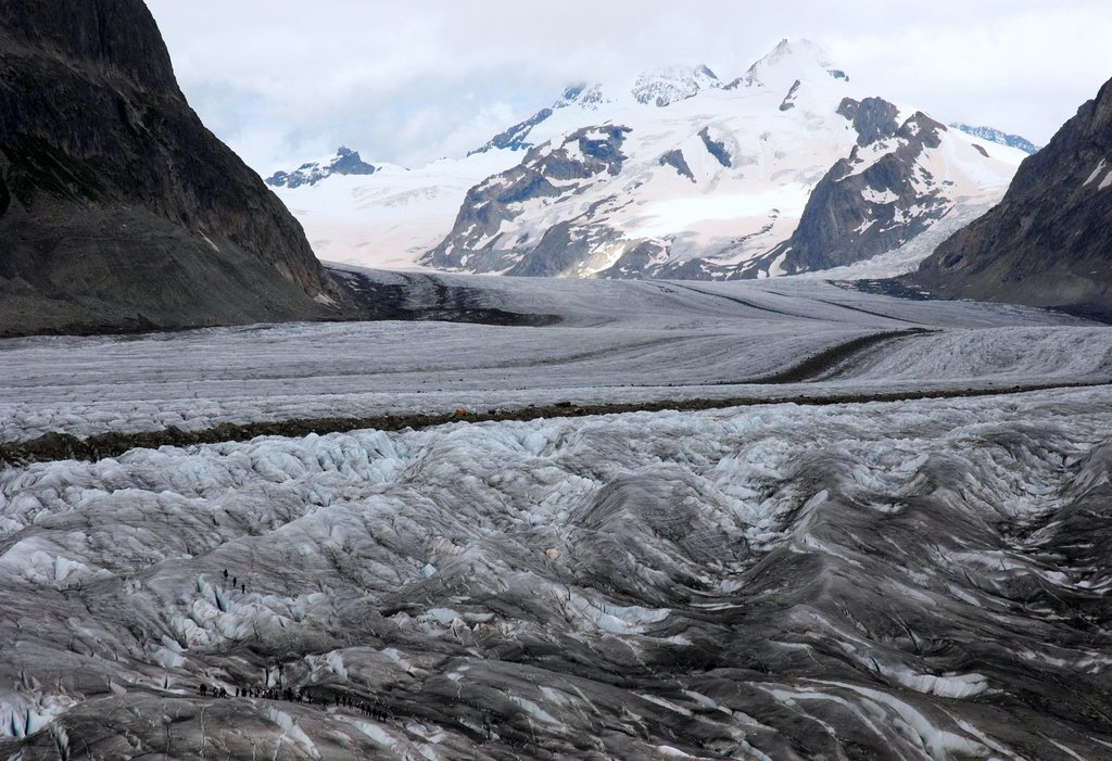
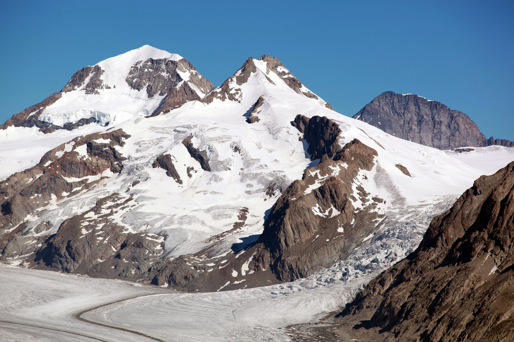
The Trugberg is a mountain in the Bernese Alps, located south of the Mönch in the canton of Valais. It is located above the Konkordiaplatz where the névé of the Jungfraufirn on the west side and the Ewigschneefeld on the east side converge to form the Aletsch Glacier. Debris accumulating on both sides of the mountain form one of the two important supraglacial moraines of the Aletsch Glacier.
During their ascent of the Jungfrau in 1841, a group of explorers including Pierre Jean Édouard Desor and Louis Agassiz for a while thought that the Trugberg, hiding the Jungfrau from sight, was their destination. Eventually, they realized their error and decided to name the mountain Trugberg, meaning Deceitful Mountain.
The Trugberg was first climbed 13 July 1871 by Dr. Emil Burckardt from Basel, with the two local guides Peter Egger and Peter Schlegel. The route they took was by the east flank.
The nearest mountain hut is Mönchsjochhütte located 1 324m/4 344ft NW of the summit.
By elevation Trugberg is
# 78 out of 1787 in Valais/Wallis # 13 out of 238 in Goms # 88 out of 10817 in Switzerland # 17 out of 1128 in the Bernese Alps
By prominence Trugberg is
# 19 out of 238 in Goms # 51 out of 1128 in the Bernese Alps
We use GPS information embedded into the photo when it is available.
3D mountains overlay
Adjust mountain panorama to perfectly match your photos because recorded by camera photo position might be imprecise.
Move tool
Rotate tool
Zoom
More customization
Choose which peak labels should make into the final photo and what photo title should be.
Next
Photo Location
Satellitte
Flat map
Relief map
Latitude
Longitude
Altitude
OR
Latitude
°'''
Longitude
°'''
Apply
Register Peak
Peak Name
Latitude
Longitude
Altitude
Register
Teleport
PeakVisor
This 3D model of Sagarmatha National Park in Nepal was made using the PeakVisor app topographic data. The mobile app features higher precision models worldwide, more topographic details, and works offline. Download PeakVisor maps today.
Download OBJ model
PeakVisor
The download should start shortly. If you find it useful please consider supporting the PeakVisor app.
PeakVisor for iOS and Android
Be a superhero of outdoor navigation with state-of-the-art 3D maps and mountain identification in the palm of your hand!