This article refers to the mountain. For information on the national forest, see El Yunque National Forest.
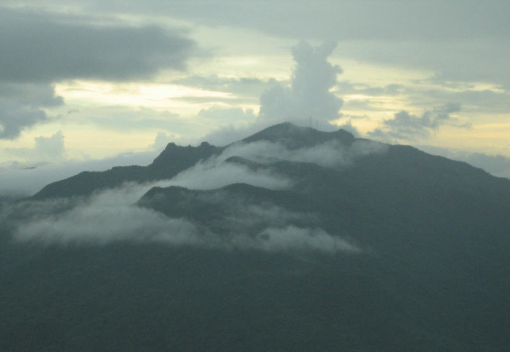
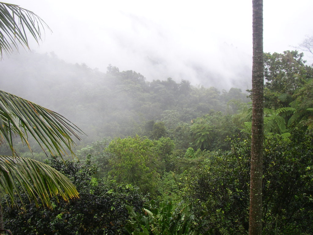
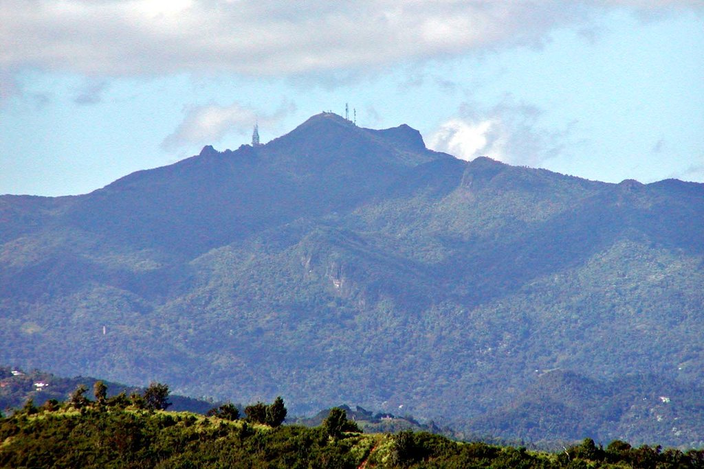
Pico El Yunque or El Yunque Peak is a mountain that is located fully within the boundaries of the El Yunque National Forest, part of the U.S. Forest Service, which is the only tropical rainforest that belongs to the U.S. Forest Service. The peak itself is one of the highest in Puerto Rico, standing at 1,080 meters (3543 feet) above sea level. The peak is nearly always covered in thin mist and, due to its high humidity, a quick shower develops during some afternoons.
Its name is Spanish for "The Anvil".
There's a trail leading to the summit.
By elevation Roca El Yunque is
# 2 out of 12 in El Yunque National Forest # 14 out of 330 in Puerto Rico # 2 out of 7 in Río Grande
By prominence Roca El Yunque is
# 2 out of 12 in El Yunque National Forest # 7 out of 330 in Puerto Rico # 2 out of 7 in Río Grande
We use GPS information embedded into the photo when it is available.
3D mountains overlay
Adjust mountain panorama to perfectly match your photos because recorded by camera photo position might be imprecise.
Move tool
Rotate tool
Zoom
More customization
Choose which peak labels should make into the final photo and what photo title should be.
Next
Photo Location
Satellitte
Flat map
Relief map
Latitude
Longitude
Altitude
OR
Latitude
°'''
Longitude
°'''
Apply
Register Peak
Peak Name
Latitude
Longitude
Altitude
Register
Teleport
PeakVisor
This 3D model of Sagarmatha National Park in Nepal was made using the PeakVisor app topographic data. The mobile app features higher precision models worldwide, more topographic details, and works offline. Download PeakVisor maps today.
Download OBJ model
PeakVisor
The download should start shortly. If you find it useful please consider supporting the PeakVisor app.
PeakVisor for iOS and Android
Be a superhero of outdoor navigation with state-of-the-art 3D maps and mountain identification in the palm of your hand!