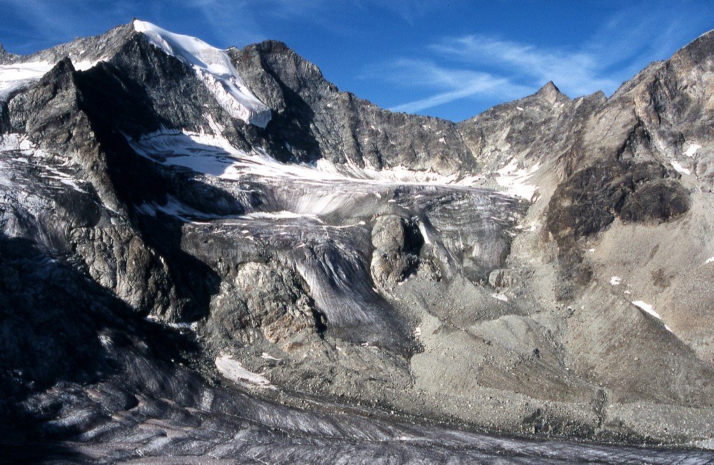
The Pointes de Mourti are a mountain of the Swiss Pennine Alps, overlooking the glacier of Moiry in the canton of Valais. They lie north of the Pointe de Bricola, on the range that separates the valley of Hérens from the valley of Moiry (part of the Anniviers valley).
The (main) eastern summit has an elevation of 3,564 metres while the western summit has an elevation of 3,529 metres.
The closest locality is Salay on the west side of the mountain, although the Pointes du Mourti are usually climbed from the Moiry hut on their eastern side.
By elevation Pointes de Mourti is
# 33 out of 161 in Hérens # 26 out of 113 in Sierre
By prominence Pointes de Mourti is
# 68 out of 161 in Hérens # 54 out of 113 in Sierre
We use GPS information embedded into the photo when it is available.
3D mountains overlay
Adjust mountain panorama to perfectly match your photos because recorded by camera photo position might be imprecise.
Move tool
Rotate tool
Zoom
More customization
Choose which peak labels should make into the final photo and what photo title should be.
Next
Photo Location
Satellitte
Flat map
Relief map
Latitude
Longitude
Altitude
OR
Latitude
°'''
Longitude
°'''
Apply
Register Peak
Peak Name
Latitude
Longitude
Altitude
Register
Teleport
PeakVisor
This 3D model of Sagarmatha National Park in Nepal was made using the PeakVisor app topographic data. The mobile app features higher precision models worldwide, more topographic details, and works offline. Download PeakVisor maps today.
Download OBJ model
PeakVisor
The download should start shortly. If you find it useful please consider supporting the PeakVisor app.
PeakVisor for iOS and Android
Be a superhero of outdoor navigation with state-of-the-art 3D maps and mountain identification in the palm of your hand!