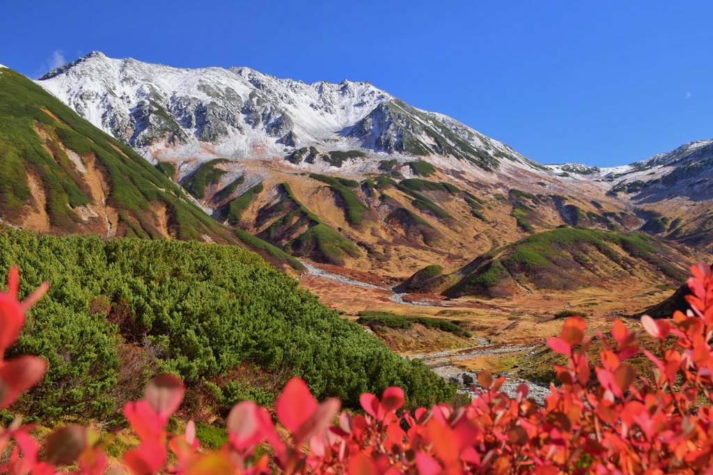
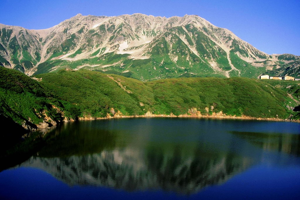
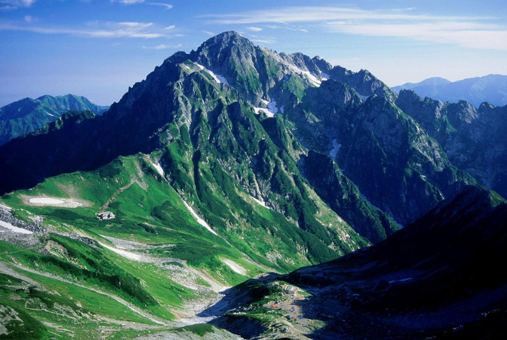
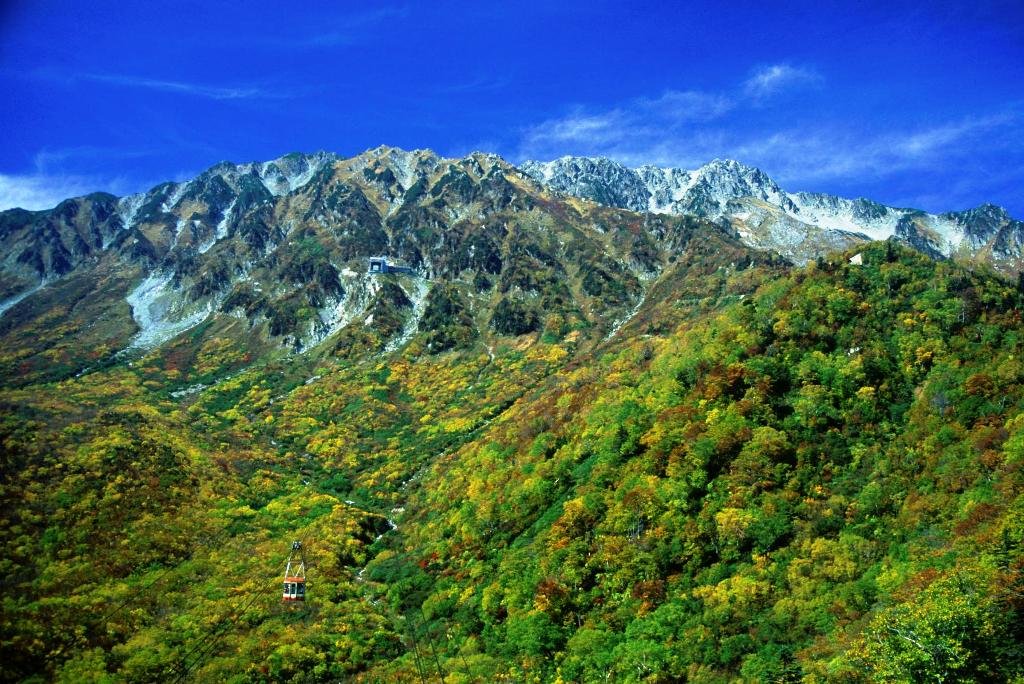
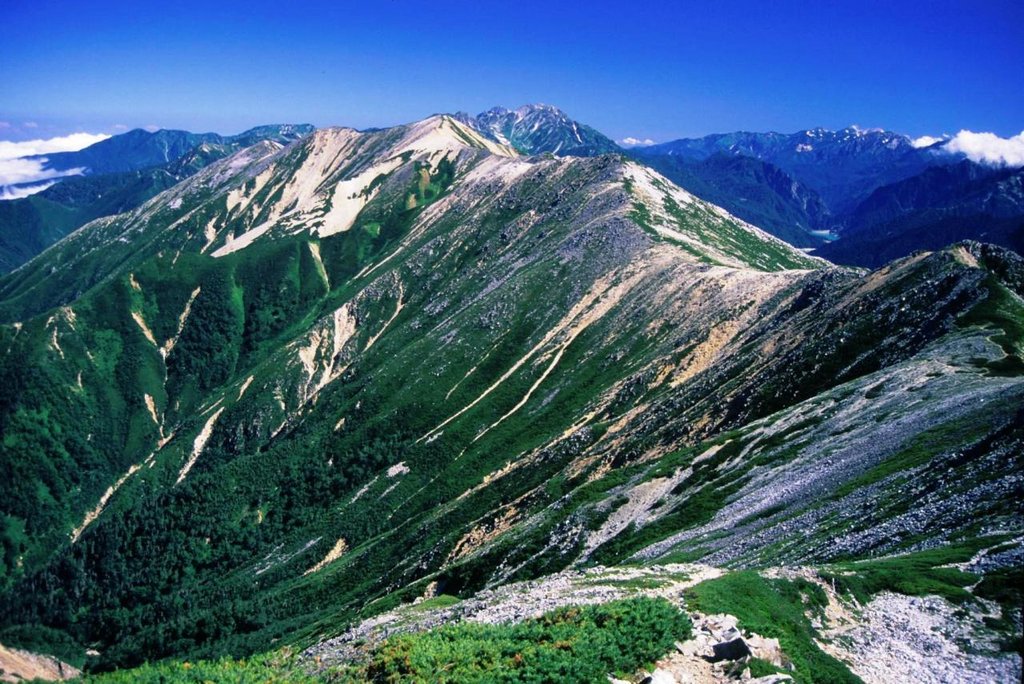
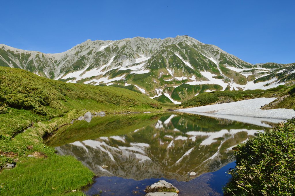
Mount Tateyama (立山, Tate-yama, IPA: [tate]) (commonly referred to as simply Tateyama) is located in the southeastern area of Toyama Prefecture, Japan. It is one of the tallest peaks in the Hida Mountains at 3,015 m (9,892 ft) and, along with Mount Fuji and Mount Haku, it is one of Japan's "Three Holy Mountains" (三霊山, Sanreizan). Strictly speaking, Tateyama itself is the popular term for a mountain consisting of the three peaks Ōnanjiyama (大汝山, 3,015m), Oyama (雄山, 3,003m), and Fuji-no-Oritateyama, (富士ノ折立, 2,999m), and does not exist as a single peak. Tateyama is the tallest mountain in the Tateyama Mountain Range (立山連峰, Tateyama-renpō).
The climbing season for Tateyama is from April until November. It was first climbed by Saeki no Ariyori during Japan's Asuka period. The area was designated the Chūbu-Sangaku National Park on December 4, 1934.
There's a trail leading to the summit.
The nearest mountain hut is ōNanjiyama located 40m/132ft ENE of the summit.
By elevation Mt. Tateyama is
# 35 out of 10903 in the Japanese Mountains # 1 out of 171 in Toyama Prefecture # 35 out of 11291 in Japan # 1 out of 43 in Nakaniikawa County # 14 out of 263 in the Hida Mountains
By prominence Mt. Tateyama is
# 82 out of 10903 in the Japanese Mountains # 1 out of 171 in Toyama Prefecture # 82 out of 11291 in Japan # 1 out of 43 in Nakaniikawa County # 5 out of 263 in the Hida Mountains
We use GPS information embedded into the photo when it is available.
3D mountains overlay
Adjust mountain panorama to perfectly match your photos because recorded by camera photo position might be imprecise.
Move tool
Rotate tool
Zoom
More customization
Choose which peak labels should make into the final photo and what photo title should be.
Next
Photo Location
Satellitte
Flat map
Relief map
Latitude
Longitude
Altitude
OR
Latitude
°'''
Longitude
°'''
Apply
Register Peak
Peak Name
Latitude
Longitude
Altitude
Register
Teleport
PeakVisor
This 3D model of Sagarmatha National Park in Nepal was made using the PeakVisor app topographic data. The mobile app features higher precision models worldwide, more topographic details, and works offline. Download PeakVisor maps today.
Download OBJ model
PeakVisor
The download should start shortly. If you find it useful please consider supporting the PeakVisor app.
PeakVisor for iOS and Android
Be a superhero of outdoor navigation with state-of-the-art 3D maps and mountain identification in the palm of your hand!