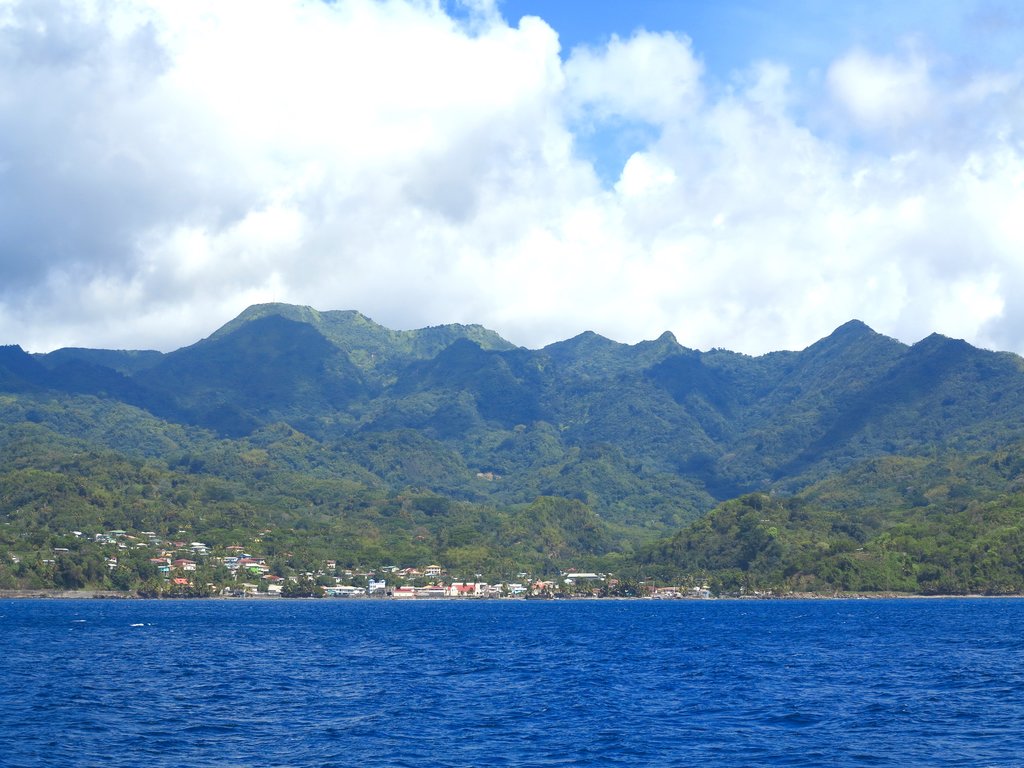
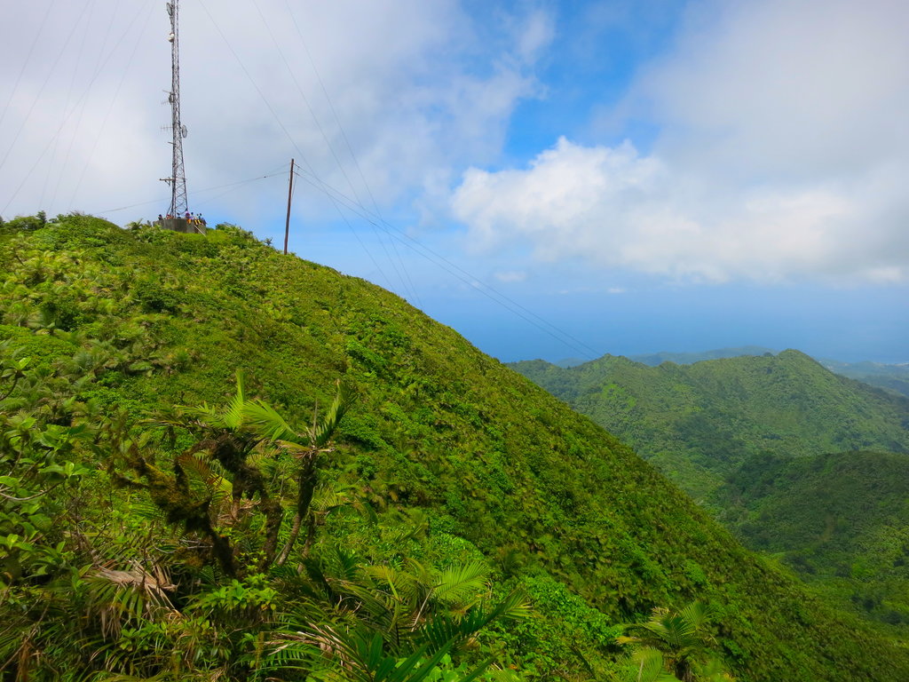
Mount Saint Catherine is a stratovolcano and the highest mountain on the Caribbean island of Grenada. It is located in St. Mark's, Victoria. It is the youngest of five volcanoes which comprise the island. The volcano has a horseshoe-shaped crater open to the east, with several lava domes within it. There are two approaches to the top, both somewhat strenuous. The most maintained trail is from the eastern side, outside of Grenville. Tours from Victoria are also available, as are guides to Tufton Hall Waterfall, the largest waterfall on the island, halfway between Victoria and St. Catherine.
There's a trail leading to the summit.
By elevation Mount Saint Catherine is
# 1 out of 35 in Grenada
By prominence Mount Saint Catherine is
# 1 out of 35 in Grenada # 33 out of 6144 in the Caribbean Area
We use GPS information embedded into the photo when it is available.
3D mountains overlay
Adjust mountain panorama to perfectly match your photos because recorded by camera photo position might be imprecise.
Move tool
Rotate tool
Zoom
More customization
Choose which peak labels should make into the final photo and what photo title should be.
Next
Photo Location
Satellitte
Flat map
Relief map
Latitude
Longitude
Altitude
OR
Latitude
°'''
Longitude
°'''
Apply
Register Peak
Peak Name
Latitude
Longitude
Altitude
Register
Teleport
PeakVisor
This 3D model of Sagarmatha National Park in Nepal was made using the PeakVisor app topographic data. The mobile app features higher precision models worldwide, more topographic details, and works offline. Download PeakVisor maps today.
Download OBJ model
PeakVisor
The download should start shortly. If you find it useful please consider supporting the PeakVisor app.
PeakVisor for iOS and Android
Be a superhero of outdoor navigation with state-of-the-art 3D maps and mountain identification in the palm of your hand!