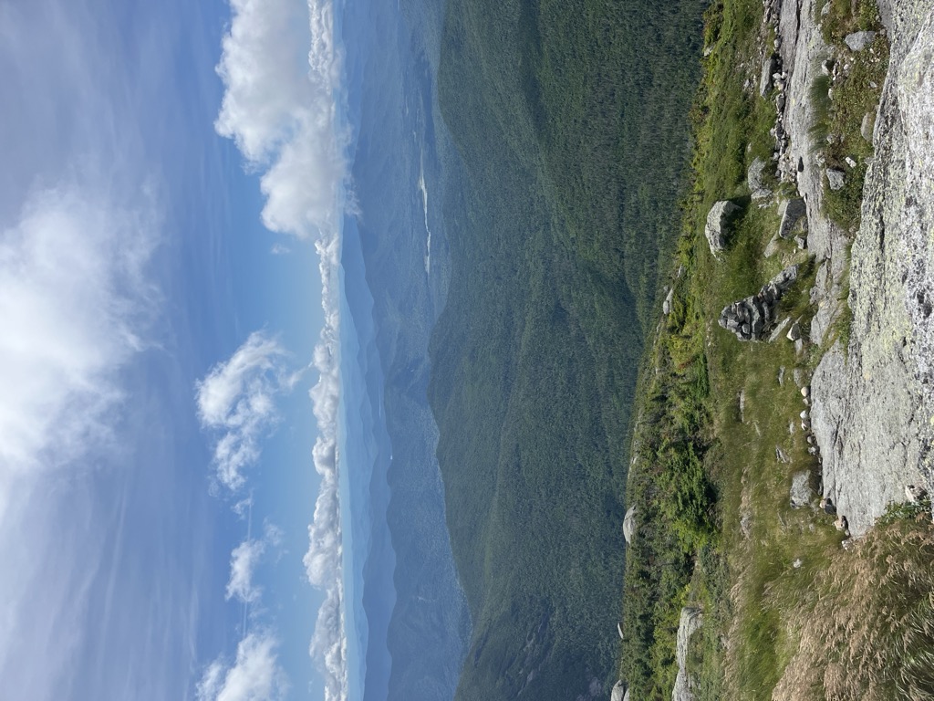
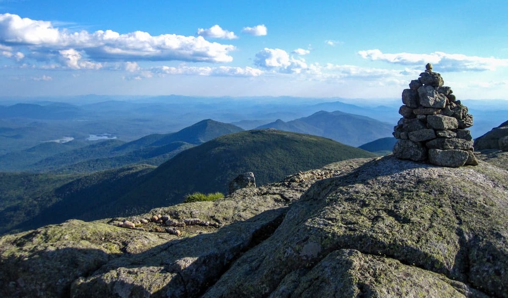
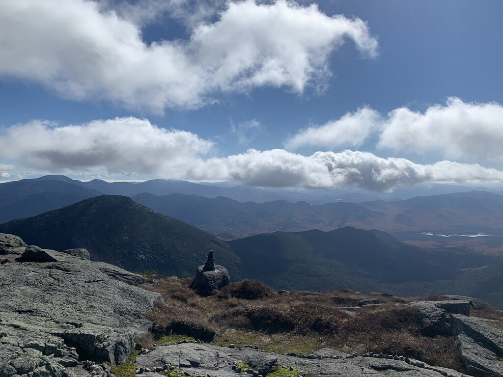
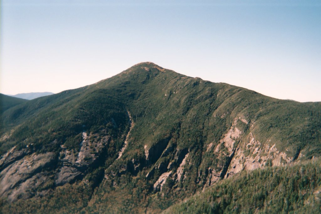
Mount Marcy (Mohawk: Tewawe’éstha) is the highest point in New York State, with an elevation of 5,343 feet (1,629 m). It is located in the Town of Keene in Essex County. The mountain is in the heart of the Adirondack High Peaks Region of the High Peaks Wilderness Area. Its stature and expansive views make it a popular destination for hikers, who crowd its summit in the summer months.
Lake Tear of the Clouds, at the col between Mt. Marcy and Mt. Skylight, is often cited as the highest source of the Hudson River, via Feldspar Brook and the Opalescent River, even though the main stem of the Opalescent River has as its source a higher point two miles north of Lake of the Clouds, and that stem is a mile longer than Feldspar Brook.
There's a hiking trail (T2) called Van Hoevenberg Trail leading to the summit. Mount Marcy is one of the 2 peaks along the Van Hoevenberg Trail.
By elevation Mount Marcy is
# 2 out of 1601 in Adirondack Park # 2 out of 3825 in New York # 2 out of 126 in High Peaks Wilderness # 2 out of 591 in Essex County # 2 out of 24 in the Marcy Group # 2 out of 1678 in the Adirondack Mountains
By prominence Mount Marcy is
# 1 out of 1601 in Adirondack Park # 1 out of 3825 in New York # 1 out of 126 in High Peaks Wilderness # 1 out of 591 in Essex County # 1 out of 24 in the Marcy Group # 1 out of 1678 in the Adirondack Mountains
We use GPS information embedded into the photo when it is available.
3D mountains overlay
Adjust mountain panorama to perfectly match your photos because recorded by camera photo position might be imprecise.
Move tool
Rotate tool
Zoom
More customization
Choose which peak labels should make into the final photo and what photo title should be.
Next
Photo Location
Satellitte
Flat map
Relief map
Latitude
Longitude
Altitude
OR
Latitude
°'''
Longitude
°'''
Apply
Register Peak
Peak Name
Latitude
Longitude
Altitude
Register
Teleport
PeakVisor
This 3D model of Sagarmatha National Park in Nepal was made using the PeakVisor app topographic data. The mobile app features higher precision models worldwide, more topographic details, and works offline. Download PeakVisor maps today.
Download OBJ model
PeakVisor
The download should start shortly. If you find it useful please consider supporting the PeakVisor app.
PeakVisor for iOS and Android
Be a superhero of outdoor navigation with state-of-the-art 3D maps and mountain identification in the palm of your hand!