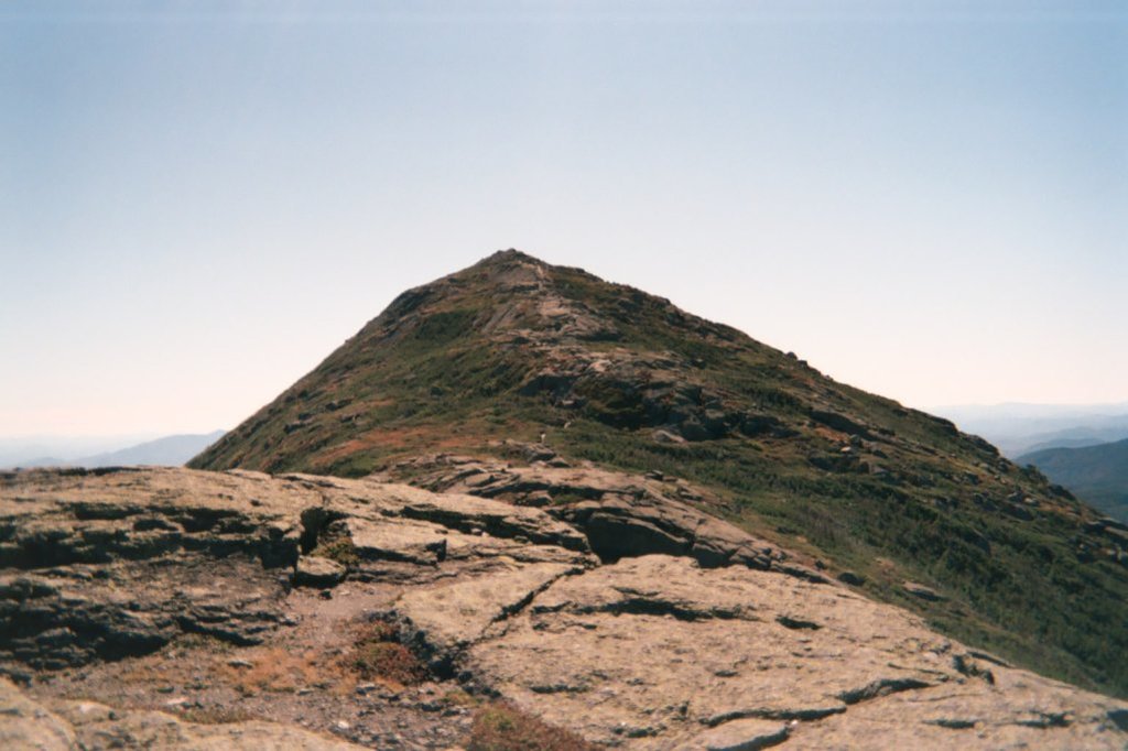
Mount Haystack is a mountain in the Great Range of the Adirondack High Peaks in the Adirondack Mountains of New York. It is the third highest peak in the state, after Algonquin Peak and Mount Marcy. It gets its name from the resemblance of its rounded, conical peak to a haystack.
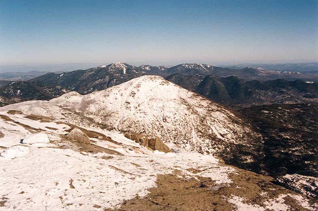
Despite this and the views offered from its bare, alpine summit, it is not visited by as many hikers outside of aspiring members of the Adirondack Forty-Sixers; it is rather remote from the nearest trailhead and the approach from either direction is steep and challenging.
The most frequent approach of Haystack as the main goal is to follow the Johns Brook Trail from the popular Garden parking area in Keene Valley to the Phelps Trail and then use Shorey's Short Cut to get over to the Range Trail. It is possible to combine this with an attempt on Marcy itself, but that makes for a long day and the approach from Panther Gorge is even steeper than that from the north.
Some hikers come along the Great Range itself, making the peak their last stop before Marcy itself, or combine it with neighboring Basin and Saddleback. It can also be approached from privately owned Upper Ausable Lake.
One of the most famous elements of Haystack is the infamous "Devil's Half Mile". This stretch, which is technically three-quarters mile (1.2 km), is the extremely steep last stretch of the trail.
There's a demading hiking trail (T3) called South Haystack Trail leading to the summit. Mount Haystack is one of the 1 peaks along the South Haystack Trail.
By elevation Mount Haystack is
# 4 out of 1601 in Adirondack Park # 4 out of 3825 in New York # 4 out of 126 in High Peaks Wilderness # 4 out of 591 in Essex County # 3 out of 24 in the Marcy Group # 4 out of 1678 in the Adirondack Mountains
By prominence Mount Haystack is
# 24 out of 126 in High Peaks Wilderness # 53 out of 591 in Essex County # 6 out of 24 in the Marcy Group
We use GPS information embedded into the photo when it is available.
3D mountains overlay
Adjust mountain panorama to perfectly match your photos because recorded by camera photo position might be imprecise.
Move tool
Rotate tool
Zoom
More customization
Choose which peak labels should make into the final photo and what photo title should be.
Next
Photo Location
Satellitte
Flat map
Relief map
Latitude
Longitude
Altitude
OR
Latitude
°'''
Longitude
°'''
Apply
Register Peak
Peak Name
Latitude
Longitude
Altitude
Register
Teleport
PeakVisor
This 3D model of Sagarmatha National Park in Nepal was made using the PeakVisor app topographic data. The mobile app features higher precision models worldwide, more topographic details, and works offline. Download PeakVisor maps today.
Download OBJ model
PeakVisor
The download should start shortly. If you find it useful please consider supporting the PeakVisor app.
PeakVisor for iOS and Android
Be a superhero of outdoor navigation with state-of-the-art 3D maps and mountain identification in the palm of your hand!