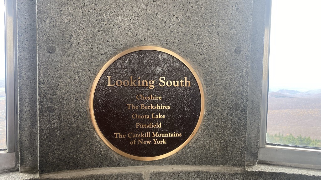
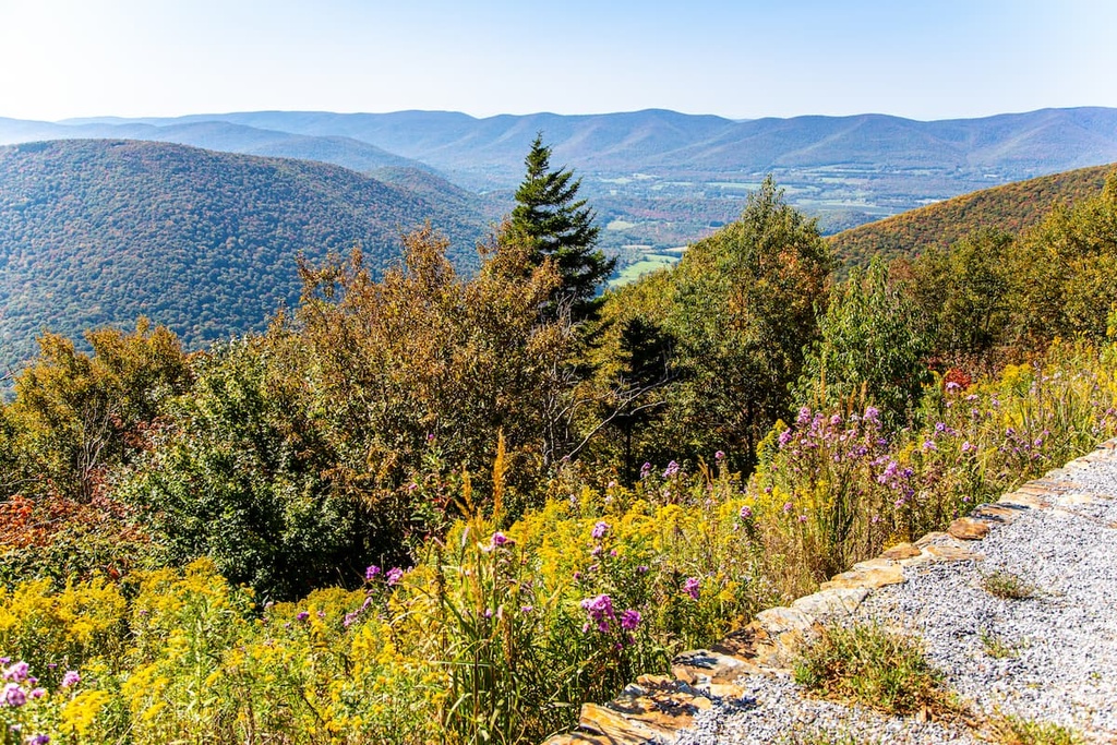
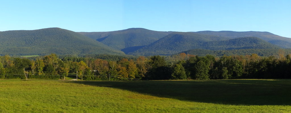
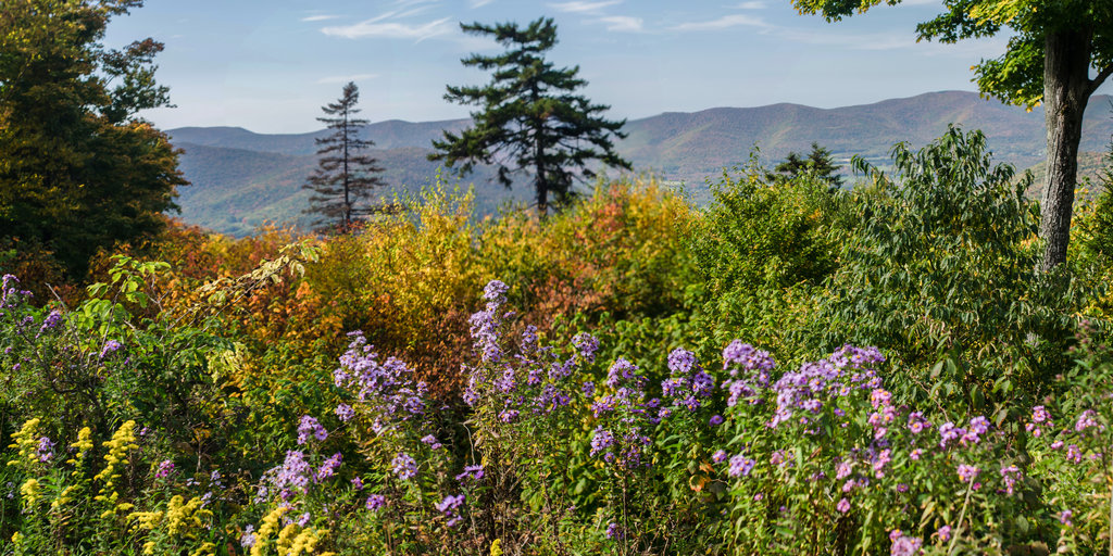
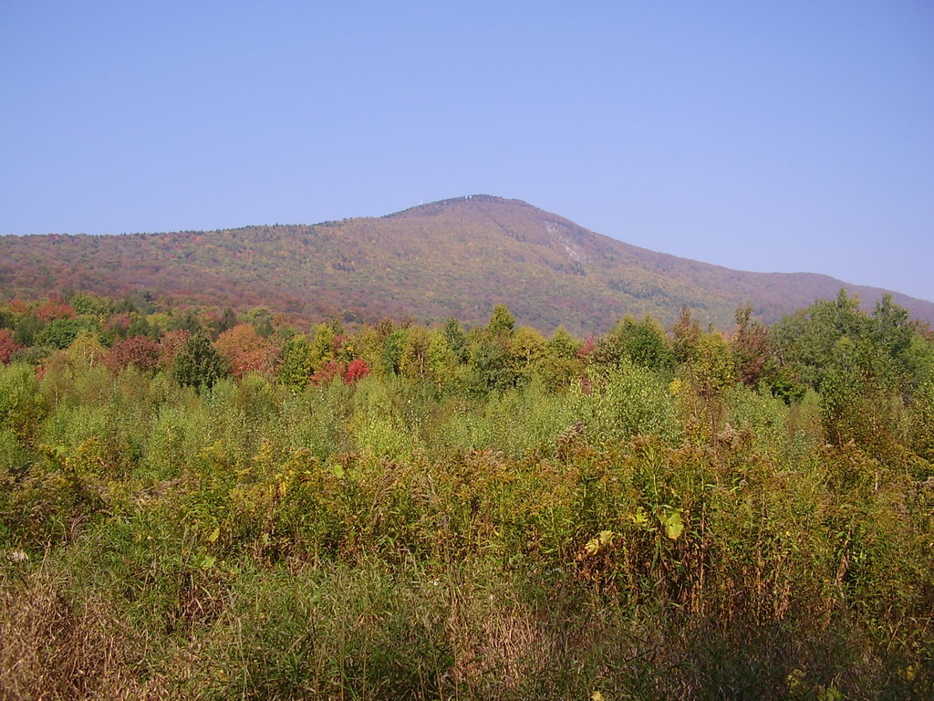
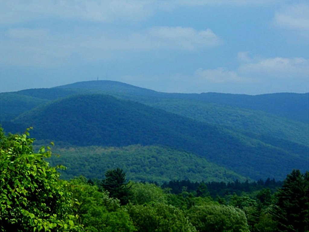
Mount Greylock is the highest natural point in Massachusetts at 3,489 feet (1,063 m). Its peak is located in the northwest corner of the state in the western part of the town of Adams (near its border with Williamstown) in Berkshire County. Although geologically part of the Taconic Mountains, Mount Greylock is commonly associated with the abutting Berkshire Hills to the east. The mountain is known for its expansive views encompassing five states and the only taiga-boreal forest in the state. A seasonal automobile road (open annually from late May through November 1) climbs to the summit, where stands the iconic 93-foot-high (28 m) lighthouse-like Massachusetts Veterans War Memorial Tower. A network of hiking trails traverse the mountain, including the 2,179-mile (3,507 km) Appalachian Trail. Mount Greylock State Reservation was created in 1898 as Massachusetts' first public land for the purpose of forest preservation.
There's a trail called Appalachian Trail leading to the summit. Mount Greylock is one of the 311 peaks along the multi-day Appalachian Trail.
By elevation Mount Greylock is
# 1 out of 2241 in Massachusetts # 1 out of 209 in Berkshire County # 5 out of 274 in the Taconic Mountains
By prominence Mount Greylock is
# 1 out of 2241 in Massachusetts # 1 out of 209 in Berkshire County # 32 out of 39823 in the Appalachian Mountains # 3 out of 274 in the Taconic Mountains
We use GPS information embedded into the photo when it is available.
3D mountains overlay
Adjust mountain panorama to perfectly match your photos because recorded by camera photo position might be imprecise.
Move tool
Rotate tool
Zoom
More customization
Choose which peak labels should make into the final photo and what photo title should be.
Next
Photo Location
Satellitte
Flat map
Relief map
Latitude
Longitude
Altitude
OR
Latitude
°'''
Longitude
°'''
Apply
Register Peak
Peak Name
Latitude
Longitude
Altitude
Register
Teleport
PeakVisor
This 3D model of Sagarmatha National Park in Nepal was made using the PeakVisor app topographic data. The mobile app features higher precision models worldwide, more topographic details, and works offline. Download PeakVisor maps today.
Download OBJ model
PeakVisor
The download should start shortly. If you find it useful please consider supporting the PeakVisor app.
PeakVisor for iOS and Android
Be a superhero of outdoor navigation with state-of-the-art 3D maps and mountain identification in the palm of your hand!