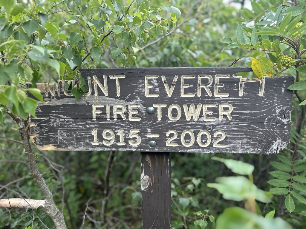
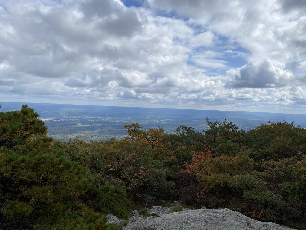
Mount Everett at 2,602 ft - or 793.1 m - is the highest peak in the south Taconic Mountains of Massachusetts, Connecticut and New York. The mountain is known for its expansive views of the southern Taconics and Berkshires; for its old growth pitch pine and scrub oak; for the Appalachian Trail's north-south traverse of its shoulders and summit grounds, and for its rare plant and animal communities. The mountain is named after a 19th-century governor of Massachusetts, Edward Everett. The name was proposed in 1841 by Edward Hitchcock, geologist to the state, in his "Final Report on the Geology of Massachusetts." Hitchcock wrote that at the time of his proposal, the mountain was known as Bald Mountain or Ball Mountain. Some old maps at the Sheffield Historical Society also label the mountain as "The Dome".
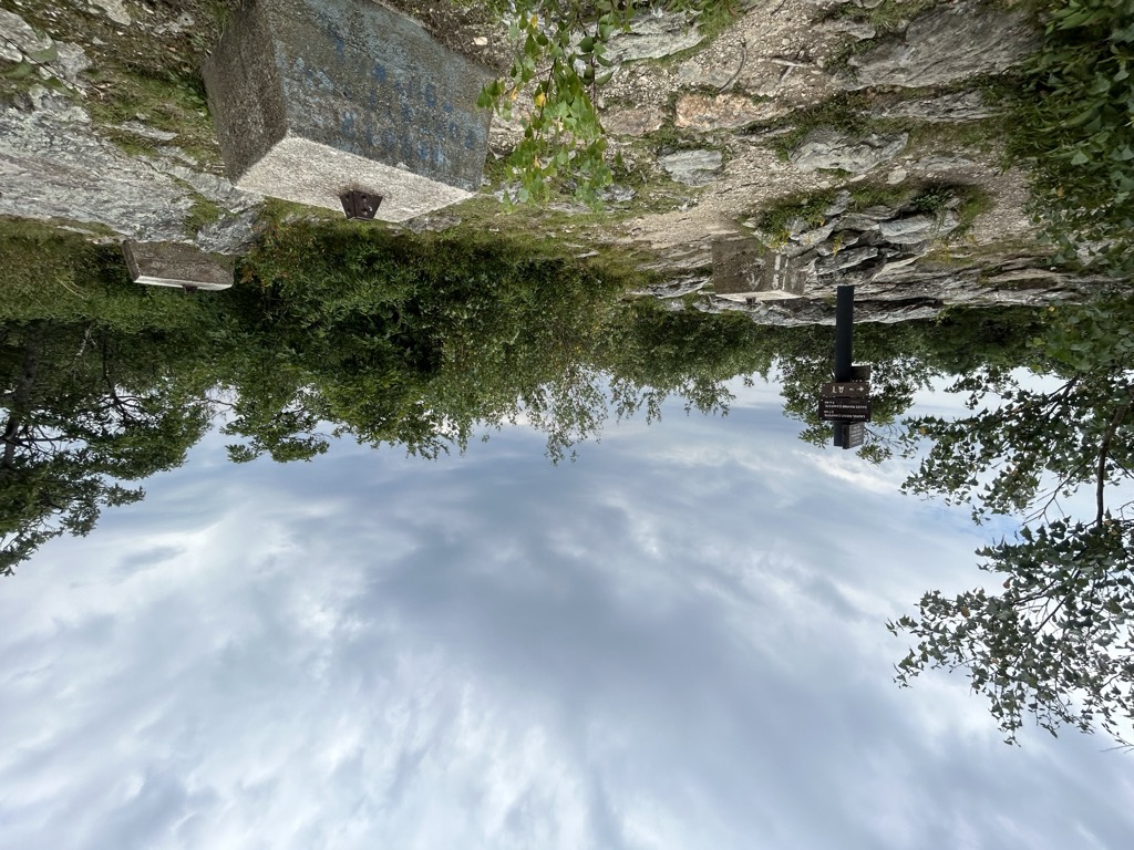
There's a trail called Appalachian Trail (white blazes) leading to the summit. Mount Everett is one of the 311 peaks along the multi-day Appalachian Trail.
By elevation Mount Everett is
# 1 out of 3 in Mount Everett State Reservation # 14 out of 2241 in Massachusetts # 12 out of 209 in Berkshire County # 32 out of 274 in the Taconic Mountains
By prominence Mount Everett is
# 1 out of 3 in Mount Everett State Reservation # 2 out of 2241 in Massachusetts # 2 out of 209 in Berkshire County # 5 out of 274 in the Taconic Mountains
We use GPS information embedded into the photo when it is available.
3D mountains overlay
Adjust mountain panorama to perfectly match your photos because recorded by camera photo position might be imprecise.
Move tool
Rotate tool
Zoom
More customization
Choose which peak labels should make into the final photo and what photo title should be.
Next
Photo Location
Satellitte
Flat map
Relief map
Latitude
Longitude
Altitude
OR
Latitude
°'''
Longitude
°'''
Apply
Register Peak
Peak Name
Latitude
Longitude
Altitude
Register
Teleport
PeakVisor
This 3D model of Sagarmatha National Park in Nepal was made using the PeakVisor app topographic data. The mobile app features higher precision models worldwide, more topographic details, and works offline. Download PeakVisor maps today.
Download OBJ model
PeakVisor
The download should start shortly. If you find it useful please consider supporting the PeakVisor app.
PeakVisor for iOS and Android
Be a superhero of outdoor navigation with state-of-the-art 3D maps and mountain identification in the palm of your hand!