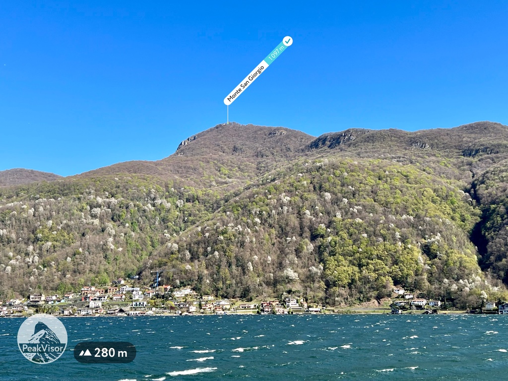
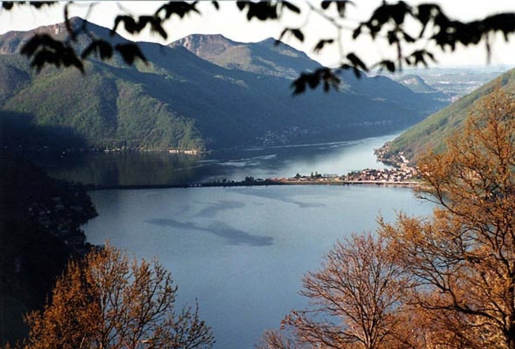
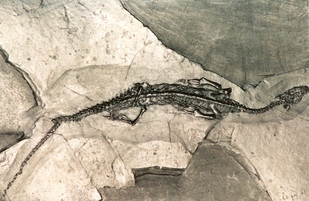
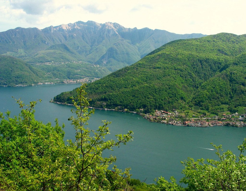
Monte San Giorgio is a wooded mountain (1,097 m above sea level) of the Lugano Prealps, overlooking Lake Lugano in Switzerland. It lies in the southern part of the canton of Ticino, between the municipalities of Brusino Arsizio, Riva San Vitale and Meride. Monte San Giorgio became a UNESCO World Heritage Sites in 2003, because it "is the single best known record of marine life in the Triassic period, and records important remains of life on land as well." The Italian region west of Poncione d'Arzo (Porto Ceresio) was added as an extension to the World Heritage Site in 2010.
In Meride is the Museum of fossils from Monte San Giorgio, designed by the Ticinese architect Mario Botta.
There's a trail leading to the summit.
The nearest mountain hut is null located 3m/9ft SSE of the summit.
By elevation Monte San Giorgio is
# 69 out of 113 in Distretto di Lugano # 8 out of 21 in Distretto di Mendrisio
By prominence Monte San Giorgio is
# 8 out of 431 in the Lugano Prealps # 9 out of 824 in Ticino # 3 out of 113 in Distretto di Lugano # 1 out of 21 in Distretto di Mendrisio # 70 out of 10817 in Switzerland
We use GPS information embedded into the photo when it is available.
3D mountains overlay
Adjust mountain panorama to perfectly match your photos because recorded by camera photo position might be imprecise.
Move tool
Rotate tool
Zoom
More customization
Choose which peak labels should make into the final photo and what photo title should be.
Next
Photo Location
Satellitte
Flat map
Relief map
Latitude
Longitude
Altitude
OR
Latitude
°'''
Longitude
°'''
Apply
Register Peak
Peak Name
Latitude
Longitude
Altitude
Register
Teleport
PeakVisor
This 3D model of Sagarmatha National Park in Nepal was made using the PeakVisor app topographic data. The mobile app features higher precision models worldwide, more topographic details, and works offline. Download PeakVisor maps today.
Download OBJ model
PeakVisor
The download should start shortly. If you find it useful please consider supporting the PeakVisor app.
PeakVisor for iOS and Android
Be a superhero of outdoor navigation with state-of-the-art 3D maps and mountain identification in the palm of your hand!