Lyon Mountain is a mountain located in Clinton County, New York, of which its peak is the highest point. The mountain is named for Nathaniel Lyon, an early settler of the area who moved from Vermont in 1803 and died circa 1850.
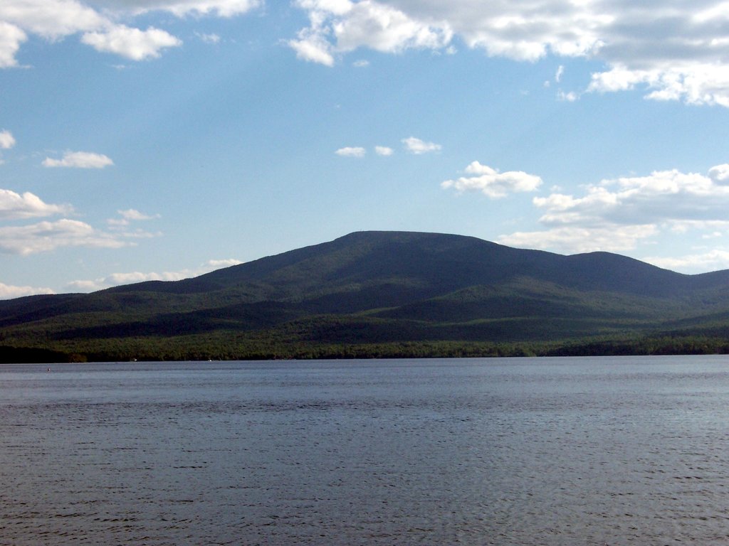
Lyon Mountain stands within the watershed of the Saint Lawrence River, and into the Gulf of Saint Lawrence. The northeast slopes of Lyon Mtn. drain into Chazy Lake, the source of the Great Chazy River, and Lake Champlain, which drains into Canada's Richelieu River, thence into the Saint Lawrence River. The southeast slopes of Lyon Mtn. drain into Smithkill Brook, thence into True Brook, the Saranac River, and Lake Champlain. The southwest end of Lyon drains into Cold Brook, thence into the North Branch of the Saranac River. The west slopes of Lyon drain into Standish Brook, thence into Middle Kiln Brook, Upper and Lower Chateaugay Lakes, the source of the Chateaugay River, which drains into the Saint Lawrence River in Canada. The northwest slopes of Lyon drain into Separator Brook, thence into Upper Chateaugay Lake.
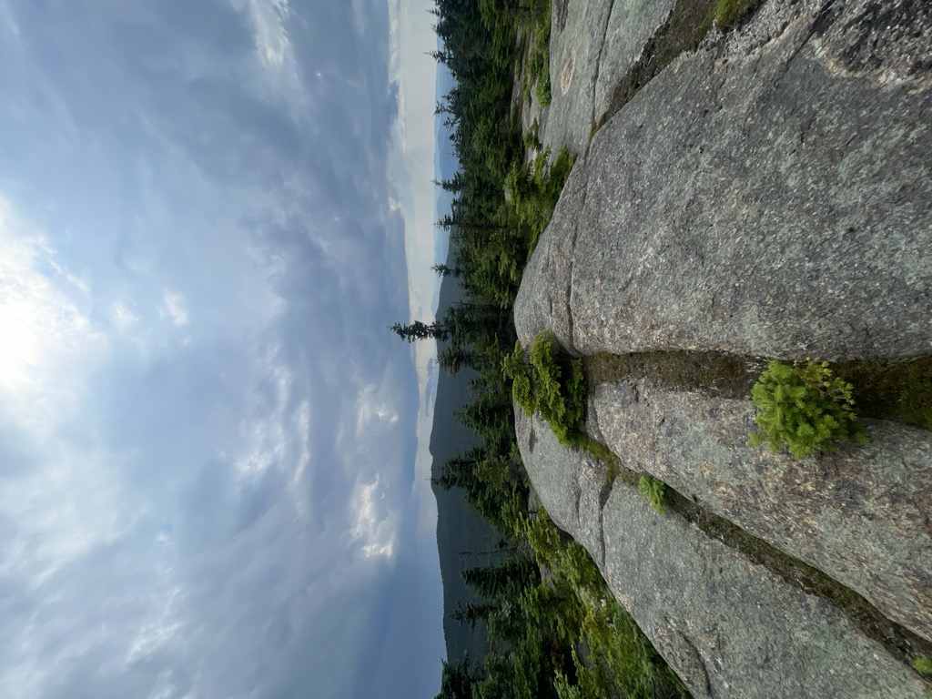
Lyon Mountain Mountain Fire Observation Station, built in 1917, still stands atop the mountain, and can be accessed by hikers.
Lyon Mountain is within New York's Adirondack Park.
There's a trail leading to the summit.
By elevation Lyon Mountain is
# 70 out of 1601 in Adirondack Park # 83 out of 3825 in New York # 1 out of 20 in Chazy Highlands Wild Forest # 1 out of 93 in Clinton County # 70 out of 1678 in the Adirondack Mountains
By prominence Lyon Mountain is
# 7 out of 1601 in Adirondack Park # 8 out of 3825 in New York # 1 out of 20 in Chazy Highlands Wild Forest # 1 out of 93 in Clinton County # 7 out of 1678 in the Adirondack Mountains
We use GPS information embedded into the photo when it is available.
3D mountains overlay
Adjust mountain panorama to perfectly match your photos because recorded by camera photo position might be imprecise.
Move tool
Rotate tool
Zoom
More customization
Choose which peak labels should make into the final photo and what photo title should be.
Next
Photo Location
Satellitte
Flat map
Relief map
Latitude
Longitude
Altitude
OR
Latitude
°'''
Longitude
°'''
Apply
Register Peak
Peak Name
Latitude
Longitude
Altitude
Register
Teleport
PeakVisor
This 3D model of Sagarmatha National Park in Nepal was made using the PeakVisor app topographic data. The mobile app features higher precision models worldwide, more topographic details, and works offline. Download PeakVisor maps today.
Download OBJ model
PeakVisor
The download should start shortly. If you find it useful please consider supporting the PeakVisor app.
PeakVisor for iOS and Android
Be a superhero of outdoor navigation with state-of-the-art 3D maps and mountain identification in the palm of your hand!