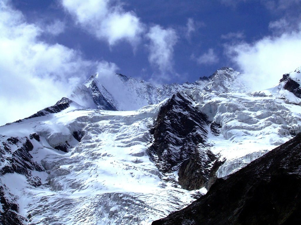
The Lenzspitze is a 4,294-metre (14,088 ft) mountain in the Pennine Alps in Switzerland. It is the southernmost peak on the Nadelgrat, a high-level ridge running roughly north–south, north of Dom in the Mischabel range, above the resort of Saas Fee to the east, and the Mattertal to the west.
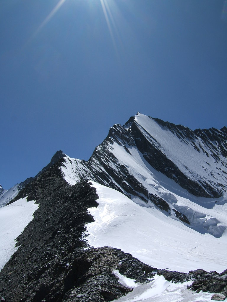
It was first climbed in August 1870 by Clinton Thomas Dent with guide Alexander Burgener and a porter, Franz Burgener, by the north-east face to the Nadeljoch and then the north-west ridge to the summit. This route is rarely used today.
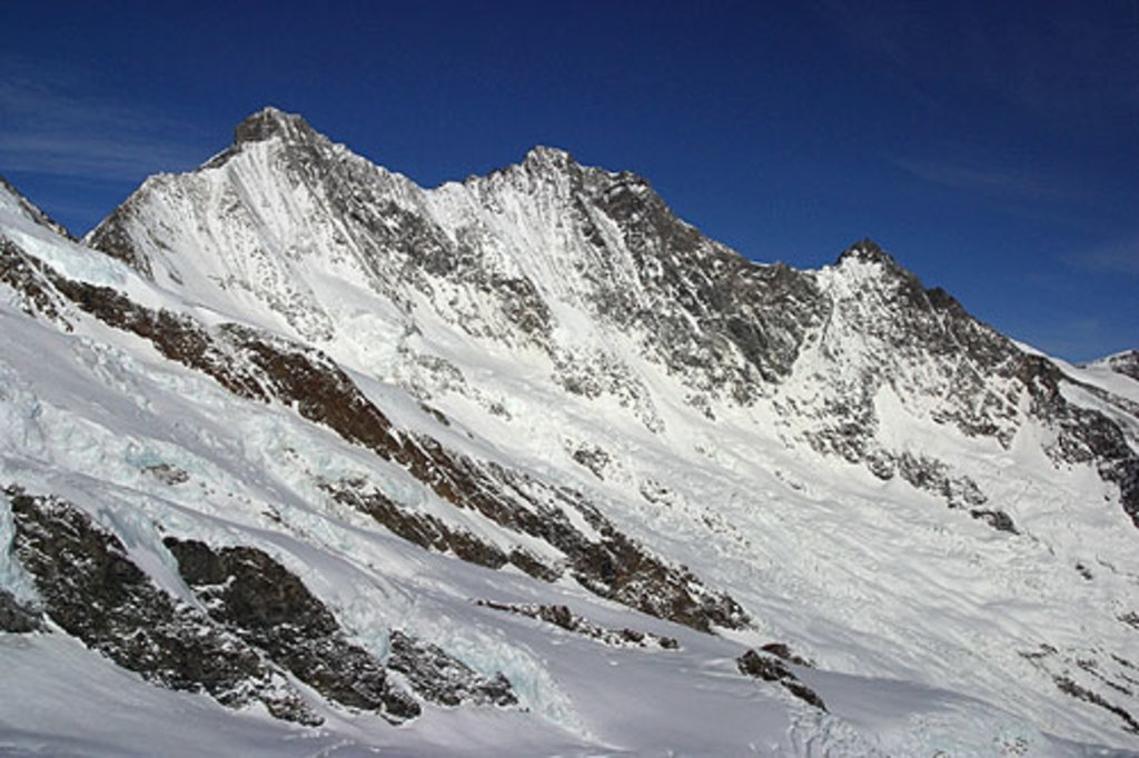
The east-north-east ridge starts at the Mischabel Hut. This ridge was first climbed on 3 August 1882 by William Woodman Goodman with guides Ambros Supersaxo and Theodor Andenmatten.
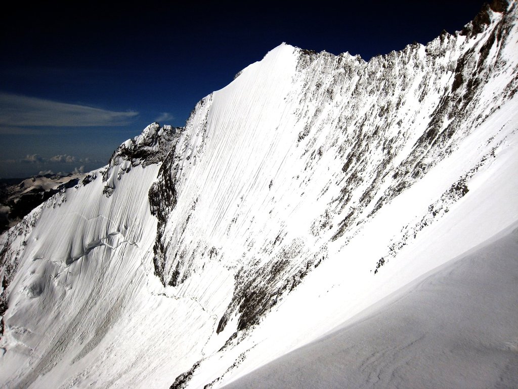
Its north-east face is a classic ice climb, comprising a 500-metre (1,600 ft) wall of ice or neve at an angle of up to 56 degrees, first climbed by Dietrich von Bethmann-Hollweg with Oskar and Othmar Supersaxo on 7 July 1911. This face was descended on skis by Heini Holzer on 22 July 1972.
The nearest mountain hut is Mischabelhütte located 1 659m/5 444ft ENE of the summit.
By elevation Lenzspitze is
# 36 out of 60693 in the Alps # 24 out of 1787 in Valais/Wallis # 23 out of 345 in Visp # 24 out of 10817 in Switzerland # 24 out of 2009 in the Pennine Alps
We use GPS information embedded into the photo when it is available.
3D mountains overlay
Adjust mountain panorama to perfectly match your photos because recorded by camera photo position might be imprecise.
Move tool
Rotate tool
Zoom
More customization
Choose which peak labels should make into the final photo and what photo title should be.
Next
Photo Location
Satellitte
Flat map
Relief map
Latitude
Longitude
Altitude
OR
Latitude
°'''
Longitude
°'''
Apply
Register Peak
Peak Name
Latitude
Longitude
Altitude
Register
Teleport
PeakVisor
This 3D model of Sagarmatha National Park in Nepal was made using the PeakVisor app topographic data. The mobile app features higher precision models worldwide, more topographic details, and works offline. Download PeakVisor maps today.
Download OBJ model
PeakVisor
The download should start shortly. If you find it useful please consider supporting the PeakVisor app.
PeakVisor for iOS and Android
Be a superhero of outdoor navigation with state-of-the-art 3D maps and mountain identification in the palm of your hand!