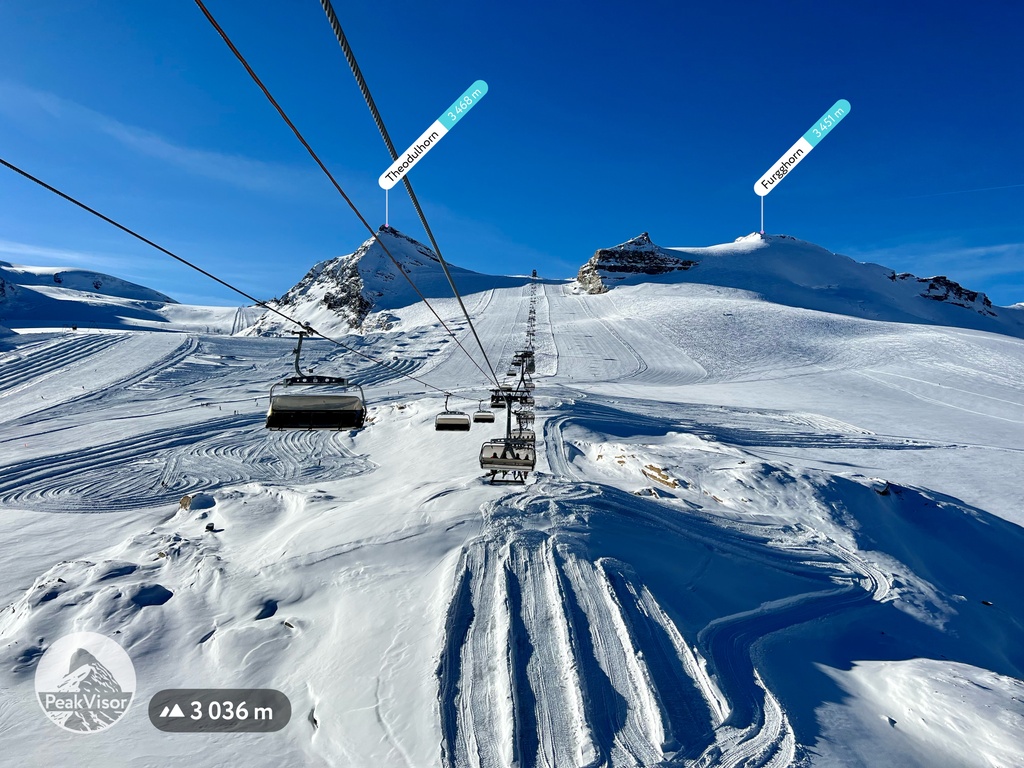
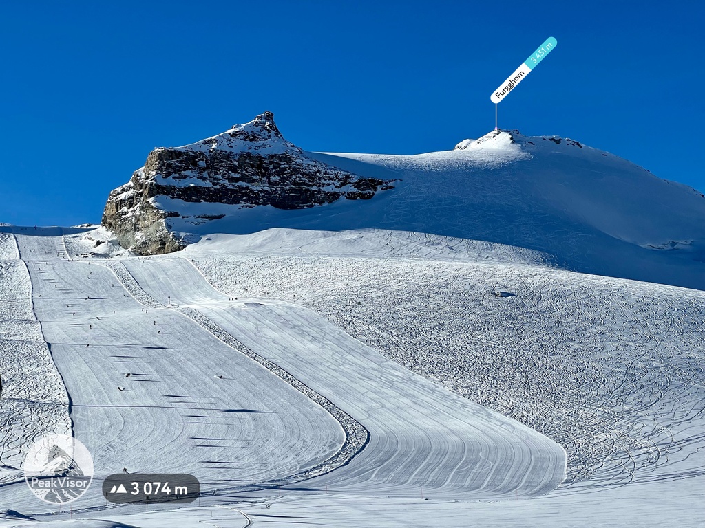
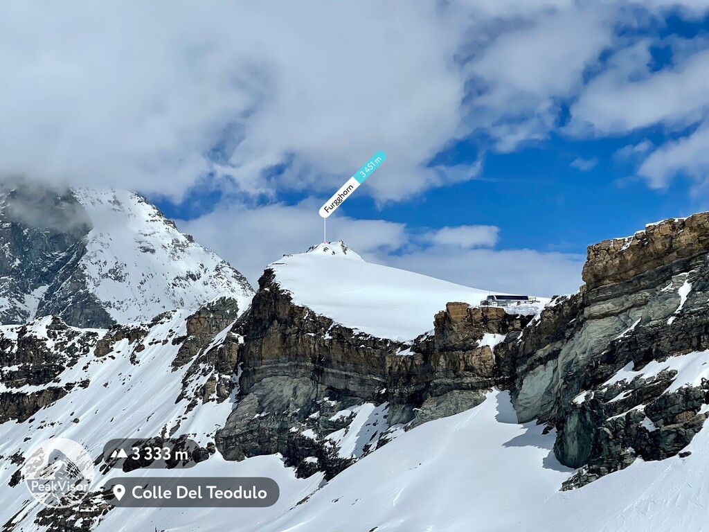
The Furgghorn (German, Italian: Cima del Breuil) is a mountain of the Pennine Alps, located on the boundary between the canton of Valais (Switzerland) and Aosta Valley (northern Italy). It lies on the range south-east of the Matterhorn, near the Theodul Pass. The closest locality is Breuil-Cervinia on the Italian side. The closest locality on the Swiss side is Zermatt.
The nearest mountain hut is Refuge du Théodule located 1 324m/4 345ft SE of the summit.
We use GPS information embedded into the photo when it is available.
3D mountains overlay
Adjust mountain panorama to perfectly match your photos because recorded by camera photo position might be imprecise.
Move tool
Rotate tool
Zoom
More customization
Choose which peak labels should make into the final photo and what photo title should be.
Next
Photo Location
Satellitte
Flat map
Relief map
Latitude
Longitude
Altitude
OR
Latitude
°'''
Longitude
°'''
Apply
Register Peak
Peak Name
Latitude
Longitude
Altitude
Register
Teleport
PeakVisor
This 3D model of Sagarmatha National Park in Nepal was made using the PeakVisor app topographic data. The mobile app features higher precision models worldwide, more topographic details, and works offline. Download PeakVisor maps today.
Download OBJ model
PeakVisor
The download should start shortly. If you find it useful please consider supporting the PeakVisor app.
PeakVisor for iOS and Android
Be a superhero of outdoor navigation with state-of-the-art 3D maps and mountain identification in the palm of your hand!