Being tech enthusiasts we love all things data. You might have read our analysis of how many mountains there are on Earth. Having recently added hiking trails in PeakVisor, we realized it was a matter of seconds until someone suggested to plot a chart of hiking trails density all over the world and understand where the densest hiking network is.
Here we present you the analysis of hiking trails length. We split earth surface into 1/3 of a degree by latitude and longitude and calculated total pathways length in every cell. After that we color-coded resulting lengths with saturation of green, so that a bigger length would be represented by a more saturated color. Finally, we put all those colors on a map and got this awesome picture.
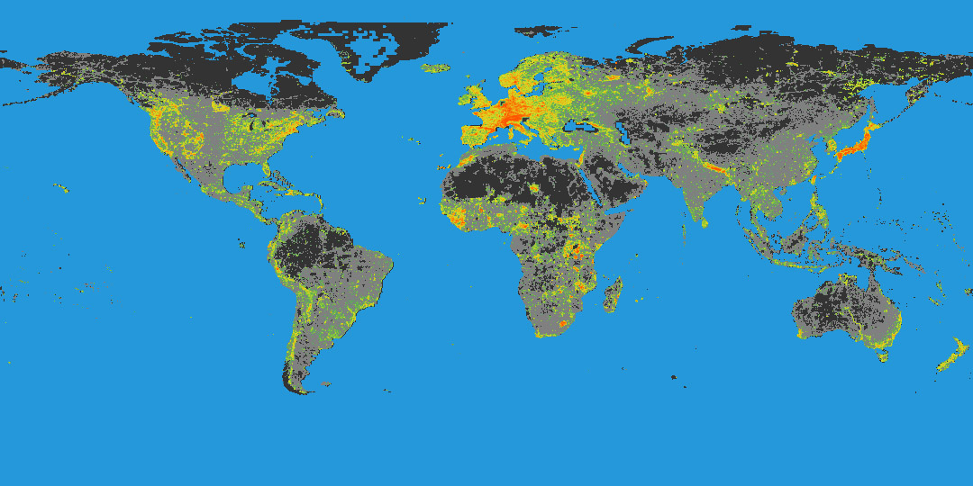
What interesting things did we learn from the Hiking Trails Density map?
Obviously, Europe is a hiker’s paradise. Centuries of unique walking experiences are guaranteed, as well as the best conveniences ever as well as mountain huts, local foods, cultural diversity, and high level of safety. Another obvious finding is the dense network of hiking trails on the west coasts of the US and Canada. But let’s look deeper for insights!
Hiking in Africa
A bright spot below Spain is Morocco - there are a lot of hiking trails and adventure opportunities. Toubkal, the highest point of northern Africa, is there in the Atlas Mountains.
While Africa might seem like a hiking continent, in fact, there are simply many dirt roads which aren’t intended for motorized traffic and fall into the category of walking pathways. But a closer look reveals one hidden gem. The Drakensberg mountains in Africa are definitely a treat for any outdoor enthusiast.
Hiking in the Himalayas
We have never fathomed the Himalayas to have a dense hiking network. But data reveals the presence of many walking pathways in Nepal. In fact, the densest areas are in central Nepal, quite far from the world’s tallest mountains.
Hiking in Japan
The Akaishi Mountains, or the Japanese Southern Alps, have a similar density of hiking trails as the Alps in Europe. Also, the recent growth of hiking popularity has resulted in well-signposted and maintained trails, as well as plentiful mountain huts and campsite accommodation. The views from world famous peaks such as Fuji and Asahi can’t fail to impress any mountain lover.
New Zealand
This is one of the most remote destinations for any European and US hiker. But the scenery makes such a long trip worth any commute. The scenery of the Southern Alps or Kā Tiritiri-o-te-Moana in Maori, is exceptional. And the great thing about this place is that hiking season here is exactly the opposite to ours. The best time to hit the trail in New Zealand is from November till March.
It seems like the most scenic mountains in the world are often called the Alps, Southern Alps at that, aren't they?
Australian Trail
Interestingly, there’s a pattern revealing a trail network along a highway from Adelaide to Alice Springs in central Australia.
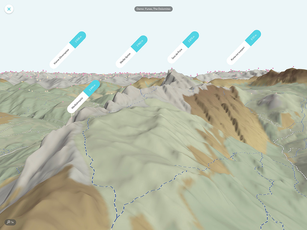
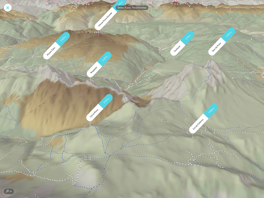
All that and much more is in the PeakVisor app! The trails which we have discovered in this exercise are available for you in the PeakVisor’s high precision 3D maps. Enjoy the mountains and have fun!